 Aerial imagery: USGS National Map (public domain)
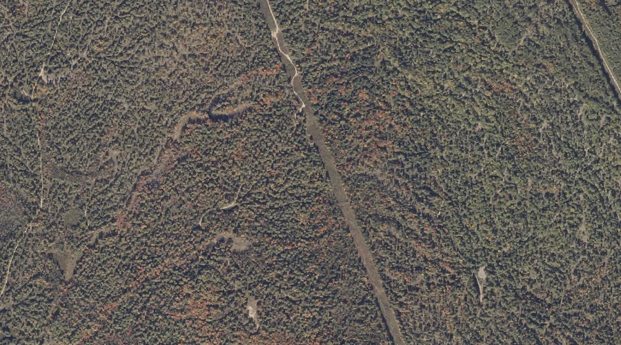
Jugtown Plain — Other Natural Features 29.4 Miles SSE of Chapman Inn
Cumberland County, Maine · USGS Casco Quadrangle · GNIS 569018
Within Cumberland County, Maine, on the USGS Casco quadrangle, the natural feature known as Jugtown Plain sits 29.4 miles south-southeast of Chapman Inn.
Landmark Profile
Classification & USGS reference
Within Cumberland County, Maine, the U.S. Geological Survey lists Jugtown Plain as a natural feature on the Casco topographic quadrangle (FIPS 23/005), under Feature ID 569018. Catalogued in GNIS since 08/27/2002.
Coordinates & physical setting
Jugtown Plain sits at 44.01424° N, 70.55450° W (DMS 44°00′51″ N, 70°33′16″ W).
Other other natural features in Cumberland County, Maine
Cumberland County, ME contains 7 other natural features catalogued in the USGS Geographic Names Information System, counting Jugtown Plain itself. The ones closest to Jugtown Plain:
| Feature | USGS Quadrangle | Distance |
|---|---|---|
| Molly Gut | Casco | 0.9 mi |
| Chute River | Naples | 3.9 mi |
| The Notch | Sebago Lake | 11.7 mi |
| Lower Narrows | North Windham | 12.4 mi |
| Eel Weir Canal | North Windham | 14.2 mi |
| Desert of Maine | Yarmouth | 22.5 mi |
Features on the USGS Casco Quadrangle
The Casco 7.5-minute topographic quadrangle holds 46 catalogued natural features alongside Jugtown Plain. A sampling nearest to this location:
| Feature | Type | County | Offset |
|---|---|---|---|
| Molly Gut | Other Natural Features | Cumberland County, ME | 0.9 mi |
| Poplar Ridge | Ridges | Oxford County, ME | 0.9 mi |
| Ted Swamp | Swamps | Cumberland County, ME | 0.9 mi |
| Smith Brook | Streams | Cumberland County, ME | 0.9 mi |
| Cold Brook | Streams | Cumberland County, ME | 0.9 mi |
| Burgess Brook | Streams | Cumberland County, ME | 1 mi |
| Eastman Brook | Streams | Cumberland County, ME | 1.2 mi |
| Long Meadows | Swamps | Oxford County, ME | 1.6 mi |
| Pleasant Lake | Lakes | Oxford County, ME | 2.1 mi |
| College Swamp Brook | Streams | Oxford County, ME | 2.2 mi |
Visiting from Chapman Inn
Distance, bearing & drive time
Follow the compass bearing SSE out of Bethel for 29.4 miles (south-southeast) and you reach Jugtown Plain; at typical rural speeds the trip runs roughly 50 minutes.
Best time to visit
Generally accessible May through October; winter access depends on snow cover. At this latitude (44.014°), the shoulder seasons are workable — April and November can be comfortable on mild years. At 29.4 miles from the Inn, block the full day — sunrise start, late return, packed meals. Conditions at Jugtown Plain track the nearby Molly Gut natural feature (0.9 mi away) closely — if that is runnable, so is this.
Nearest features to Jugtown Plain
| Feature | Type | County | Distance |
|---|---|---|---|
| Molly Gut | Other Natural Features | Cumberland County, ME | 0.9 mi |
| Poplar Ridge | Ridges | Oxford County, ME | 0.9 mi |
| Ted Swamp | Swamps | Cumberland County, ME | 0.9 mi |
| Smith Brook | Streams | Cumberland County, ME | 0.9 mi |
| Cold Brook | Streams | Cumberland County, ME | 0.9 mi |
Frequently Asked Questions
Where is Jugtown Plain located?
Jugtown Plain is in Cumberland County, Maine, approximately 29.4 miles south-southeast of Chapman Inn in Bethel, Maine. It appears on the USGS Casco topographic quadrangle.
How far is Jugtown Plain from Chapman Inn?
The drive runs about 50 minutes, 29.4 miles south-southeast (bearing SSE) of the Inn.
What type of natural feature is Jugtown Plain?
The U.S. Geological Survey classifies Jugtown Plain as a natural feature, catalogued under GNIS Feature ID 569018 on the Casco quadrangle.
When is the best time to visit Jugtown Plain?
Generally accessible May through October; winter access depends on snow cover.
How many other other natural features are in Cumberland County, Maine?
GNIS lists 6 other other natural features in Cumberland County, Maine.
Wikidata: Q34870669.