 Aerial imagery: USGS National Map (public domain)
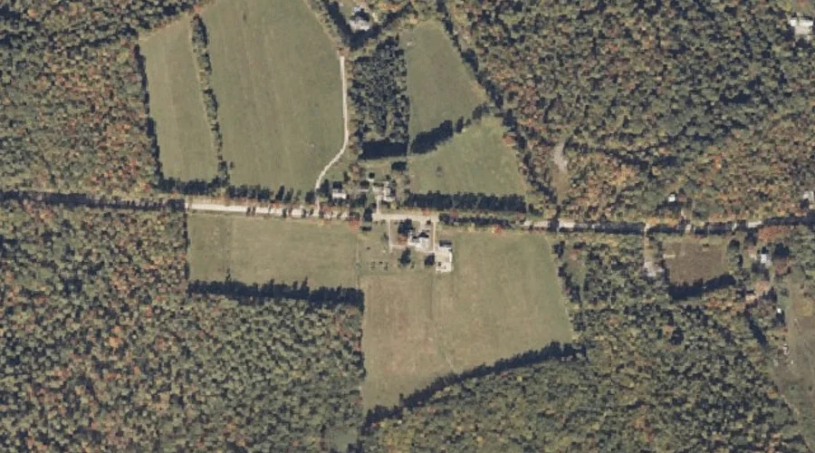
Perley Hill — Summits 29.7 Miles SSE of Chapman Inn
Cumberland County, Maine · USGS North Sebago Quadrangle · GNIS 1912866
29.7 miles south-southeast of Chapman Inn, on the USGS North Sebago topographic quadrangle, Perley Hill is a summit recorded in Cumberland County, Maine by the federal Geographic Names Information System.
Wikidata short description: “mountain in United States of America”
Landmark Profile
Classification & USGS reference
The USGS North Sebago 7.5-minute topographic quadrangle places Perley Hill in Cumberland County, Maine (FIPS 23/005), classified as a summit in the federal GNIS (Feature ID 1912866). Last revised by the Board on Geographic Names on 07/16/2022.
Coordinates & physical setting
Perley Hill sits at 43.98534° N, 70.66200° W (DMS 43°59′07″ N, 70°39′43″ W).
Other summits in Cumberland County, Maine
Cumberland County, ME contains 108 summits catalogued in the USGS Geographic Names Information System, counting Perley Hill itself. The ones closest to Perley Hill:
| Feature | USGS Quadrangle | Elevation | Distance |
|---|---|---|---|
| Skid Hill | North Sebago | — | 0.6 mi |
| Byrons Hill | North Sebago | — | 1 mi |
| Choate Hill | Bridgton | — | 2.2 mi |
| Mosher Mountain | North Sebago | — | 2.2 mi |
| Ministers Hill | North Sebago | — | 2.2 mi |
| Packard Hill | Bridgton | — | 2.5 mi |
| Dearborn Hill | Bridgton | — | 2.6 mi |
| Bald Pate Mountain | North Sebago | — | 2.8 mi |
| Fitch Hill | North Sebago | — | 2.9 mi |
| Randall Hill | Casco | — | 3.2 mi |
Features on the USGS North Sebago Quadrangle
The North Sebago 7.5-minute topographic quadrangle holds 59 catalogued natural features alongside Perley Hill. A sampling nearest to this location:
| Feature | Type | County | Offset |
|---|---|---|---|
| Skid Hill | Summits | Cumberland County, ME | 0.6 mi |
| Perley Meadow | Swamps | Cumberland County, ME | 0.6 mi |
| Tingley Brook | Streams | Cumberland County, ME | 1 mi |
| Byrons Hill | Summits | Cumberland County, ME | 1 mi |
| Holt Pond | Lakes | Cumberland County, ME | 1 mi |
| Mast Cove | Bays | Cumberland County, ME | 1.1 mi |
| Pine Island | Islands | Cumberland County, ME | 1.2 mi |
| Gristmill Brook | Streams | Cumberland County, ME | 1.2 mi |
| Stimpsons Point | Capes | Cumberland County, ME | 1.6 mi |
| Town Farm Brook | Streams | Cumberland County, ME | 1.7 mi |
Visiting from Chapman Inn
Distance, bearing & drive time
Chapman Inn sits 29.7 miles south-southeast (bearing SSE) of Perley Hill. At moderate back-road speeds the drive runs about 51 minutes — comfortably inside a half-day outing window after breakfast.
Best time to visit
Accessible May through November in most years. At this latitude (43.985°), the shoulder seasons are workable — April and November can be comfortable on mild years. At 29.7 miles from the Inn, block the full day — sunrise start, late return, packed meals. Conditions at Perley Hill track the nearby Skid Hill summit (0.6 mi away) closely — if that is runnable, so is this.
Nearest features to Perley Hill
| Feature | Type | County | Distance |
|---|---|---|---|
| Skid Hill | Summits | Cumberland County, ME | 0.6 mi |
| Perley Meadow | Swamps | Cumberland County, ME | 0.6 mi |
| Tingley Brook | Streams | Cumberland County, ME | 1 mi |
| Byrons Hill | Summits | Cumberland County, ME | 1 mi |
| Holt Pond | Lakes | Cumberland County, ME | 1 mi |
Frequently Asked Questions
Where is Perley Hill located?
Perley Hill is in Cumberland County, Maine, approximately 29.7 miles south-southeast of Chapman Inn in Bethel, Maine. It appears on the USGS North Sebago topographic quadrangle.
How far is Perley Hill from Chapman Inn?
The drive runs about 51 minutes, 29.7 miles south-southeast (bearing SSE) of the Inn.
What type of natural feature is Perley Hill?
The U.S. Geological Survey classifies Perley Hill as a summit, catalogued under GNIS Feature ID 1912866 on the North Sebago quadrangle.
When is the best time to visit Perley Hill?
Accessible May through November in most years.
How many other summits are in Cumberland County, Maine?
GNIS lists 107 other summits in Cumberland County, Maine.
Wikidata: Q33143222.