Chute River is a natural feature in Cumberland County, Maine, located about 31.6 miles south-southeast of Chapman Inn in Bethel, Maine. It appears on the USGS Naples topographic…
Parker Pond is a lake in Cumberland County, Maine, located about 31.5 miles south-southeast of Chapman Inn in Bethel, Maine. It appears on the USGS Naples topographic quadrangle.
Wards Cove is a bay in Cumberland County, Maine, located about 31.6 miles south of Chapman Inn in Bethel, Maine. It appears on the USGS North Sebago topographic…
Tenny Hill is a summit in Cumberland County, Maine, located about 31.6 miles south-southeast of Chapman Inn in Bethel, Maine. It appears on the USGS Naples topographic quadrangle.
Sucker Brook is a stream in Cumberland County, Maine, located about 31.3 miles south of Chapman Inn in Bethel, Maine. It appears on the USGS North Sebago topographic…
Leach Hill is a summit in Cumberland County, Maine, located about 31.4 miles south-southeast of Chapman Inn in Bethel, Maine. It appears on the USGS Naples topographic quadrangle.
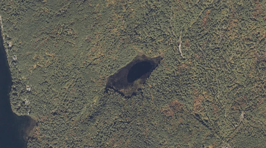
Owl Pond is a lake in Cumberland County, Maine, located about 31.4 miles south-southeast of Chapman Inn in Bethel, Maine. It appears on the USGS Naples topographic quadrangle.
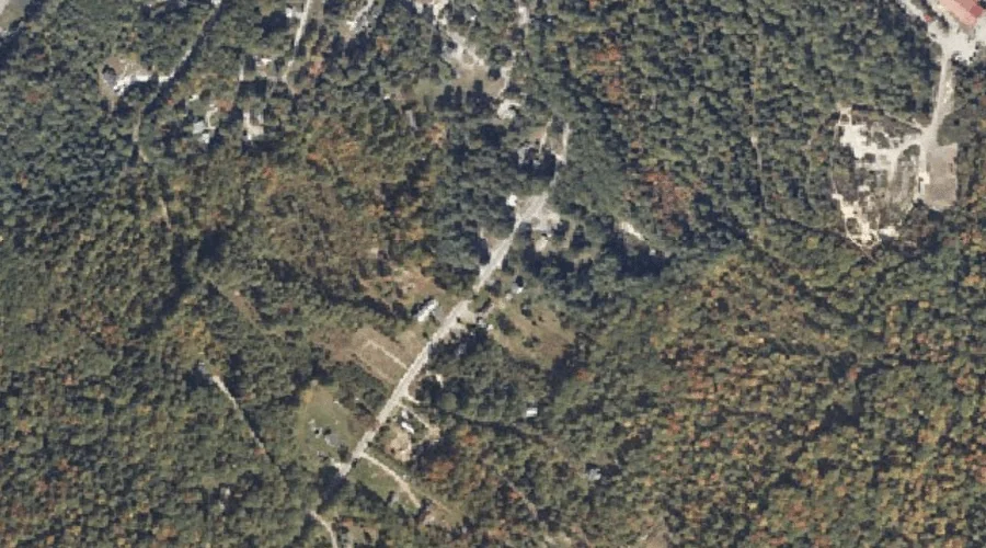
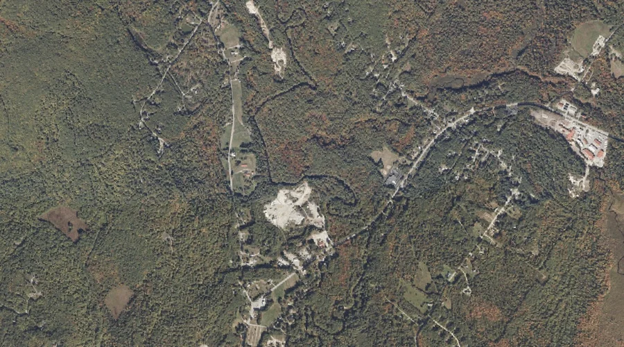
Mosher Mountain is a summit in Cumberland County, Maine, located about 31.4 miles south of Chapman Inn in Bethel, Maine. It appears on the USGS North Sebago topographic…
Mill Brook is a stream in Cumberland County, Maine, located about 31.2 miles south-southeast of Chapman Inn in Bethel, Maine. It appears on the USGS Naples topographic quadrangle.
North Cove is a bay in Cumberland County, Maine, located about 31.3 miles south of Chapman Inn in Bethel, Maine. It appears on the USGS North Sebago topographic…