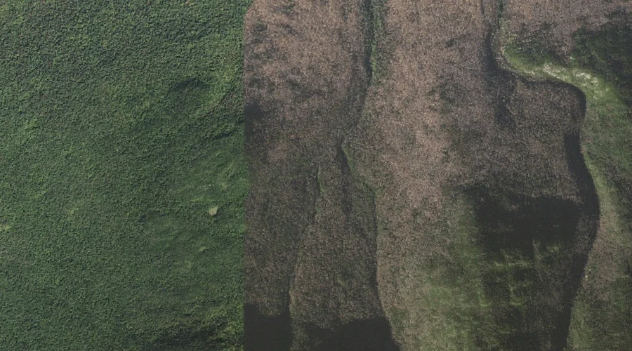
Jefferson Ravine is a valley in Coos County, New Hampshire, located about 25.6 miles west-southwest of Chapman Inn in Bethel, Maine. It appears on the USGS Mount Washington…
Spur Brook is a stream in Coos County, New Hampshire, located about 25.7 miles west of Chapman Inn in Bethel, Maine. It appears on the USGS Mount Washington…
Washburn Point is a summit in Coos County, New Hampshire, located about 25.4 miles west-southwest of Chapman Inn in Bethel, Maine. It appears on the USGS Mount Washington…
Glen Ellis Falls is a waterfall in Coos County, New Hampshire, located about 25.4 miles west-southwest of Chapman Inn in Bethel, Maine. It appears on the USGS Stairs…
Mount Adams is a summit in Coos County, New Hampshire, located about 25.5 miles west-southwest of Chapman Inn in Bethel, Maine. It appears on the USGS Mount Washington…
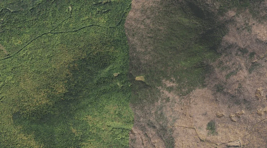
Carlton Notch is a mountain gap in Coos County, New Hampshire, located about 25.5 miles west of Chapman Inn in Bethel, Maine. It appears on the USGS Mount…
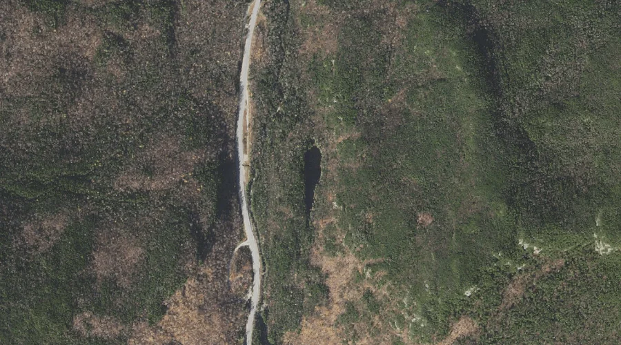
Cutler River is a stream in Coos County, New Hampshire, located about 25.3 miles west-southwest of Chapman Inn in Bethel, Maine. It appears on the USGS Mount Washington…
Cold Brook is a stream in Coos County, New Hampshire, located about 25.3 miles west of Chapman Inn in Bethel, Maine. It appears on the USGS Mount Washington…
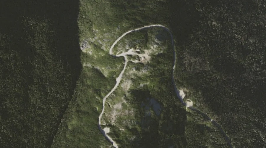
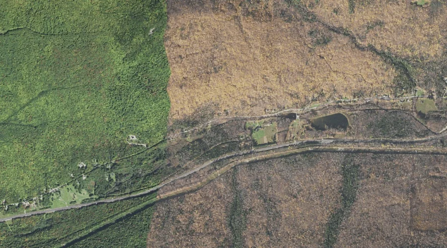
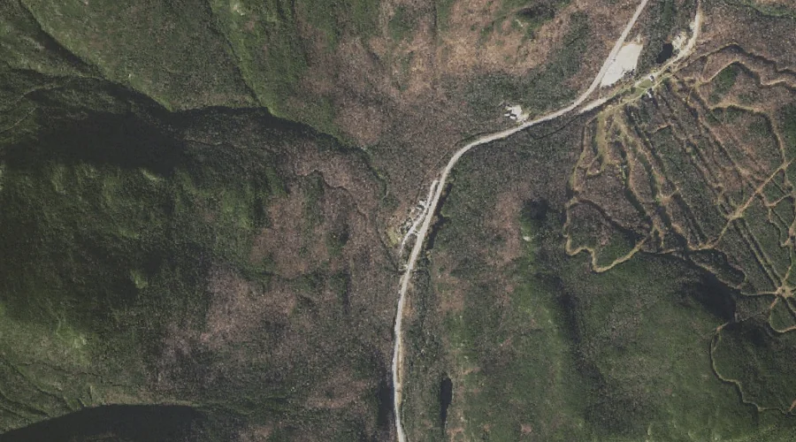
Pinkham Notch is a mountain gap in Coos County, New Hampshire, located about 25.1 miles west-southwest of Chapman Inn in Bethel, Maine. It appears on the USGS Mount…
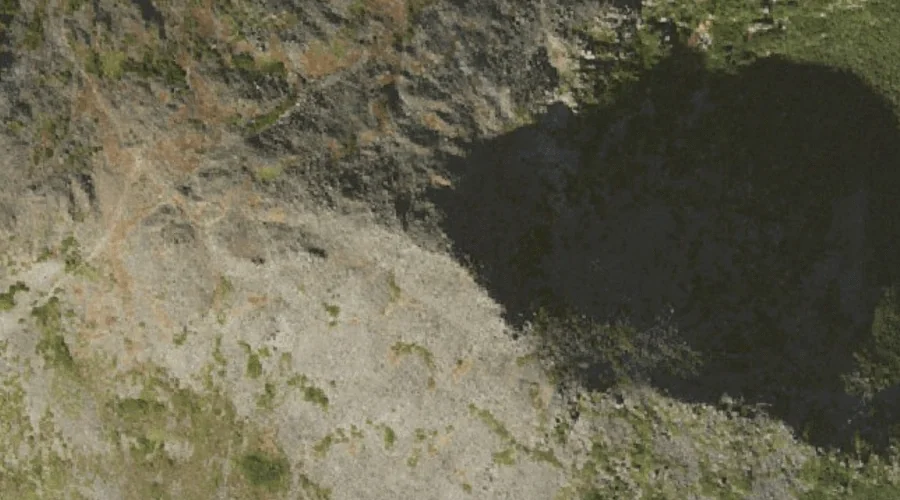
Lost Pond is a lake in Coos County, New Hampshire, located about 25.2 miles west-southwest of Chapman Inn in Bethel, Maine. It appears on the USGS Stairs Mountain…