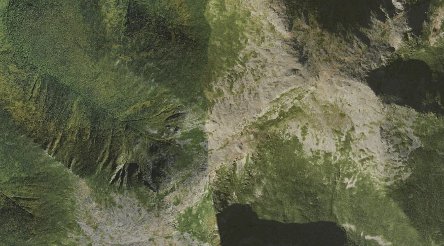
Israel Ridge is a ridge in Coos County, New Hampshire, located about 26.3 miles west-southwest of Chapman Inn in Bethel, Maine. It appears on the USGS Mount Washington…
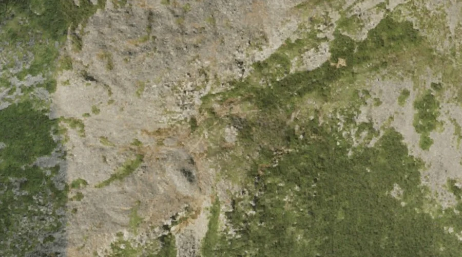
Mount Randolph is a summit in Coos County, New Hampshire, located about 26.2 miles west of Chapman Inn in Bethel, Maine. It appears on the USGS Mount Crescent…
Adams Five is a summit in Coos County, New Hampshire, located about 26.2 miles west-southwest of Chapman Inn in Bethel, Maine. It appears on the USGS Mount Washington…
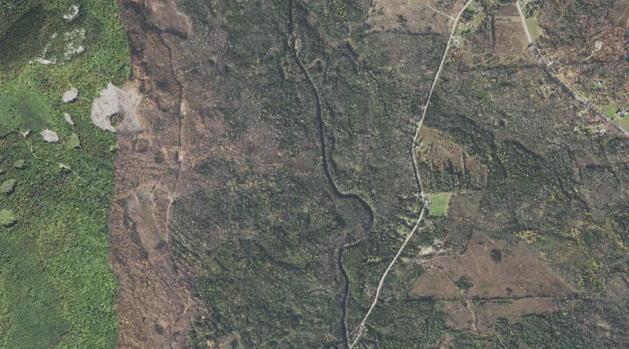
Blake Island is a island in Coos County, New Hampshire, located about 26.3 miles north-northwest of Chapman Inn in Bethel, Maine. It appears on the USGS Umbagog Lake…
Fogg Brook is a stream in Coos County, New Hampshire, located about 26.3 miles west-northwest of Chapman Inn in Bethel, Maine. It appears on the USGS West Milan…
Hodgdon Hill is a summit in Coos County, New Hampshire, located about 26.3 miles west-northwest of Chapman Inn in Bethel, Maine. It appears on the USGS West Milan…
Mount Sam Adams is a summit in Coos County, New Hampshire, located about 25.9 miles west-southwest of Chapman Inn in Bethel, Maine. It appears on the USGS Mount…
One Mile Brook is a stream in Coos County, New Hampshire, located about 25.9 miles west-northwest of Chapman Inn in Bethel, Maine. It appears on the USGS West…
Peabody Hill is a summit in Coos County, New Hampshire, located about 26.0 miles west-northwest of Chapman Inn in Bethel, Maine. It appears on the USGS Milan topographic…
Nelson Crag is a rock pillar in Coos County, New Hampshire, located about 26.1 miles west-southwest of Chapman Inn in Bethel, Maine. It appears on the USGS Mount…