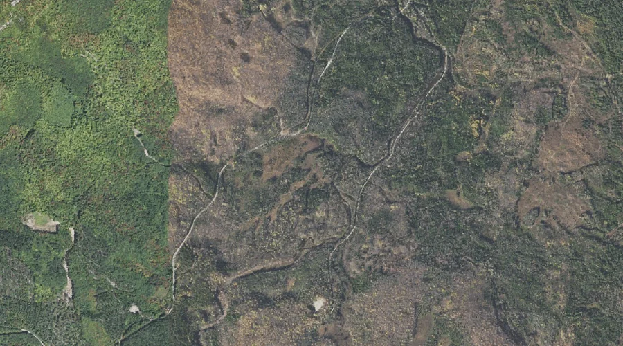
Betty Brook is a stream in Coos County, New Hampshire, located about 26.1 miles west-northwest of Chapman Inn in Bethel, Maine. It appears on the USGS West Milan…
Nowell Ridge is a ridge in Coos County, New Hampshire, located about 25.9 miles west-southwest of Chapman Inn in Bethel, Maine. It appears on the USGS Mount Washington…
Mount Abigail Adams is a summit in Coos County, New Hampshire, located about 25.9 miles west-southwest of Chapman Inn in Bethel, Maine. It appears on the USGS Mount…
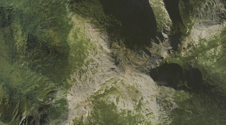
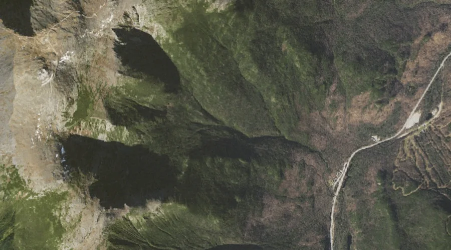
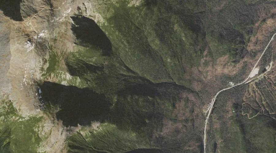
Huntington Ravine is a valley in Coos County, New Hampshire, located about 25.8 miles west-southwest of Chapman Inn in Bethel, Maine. It appears on the USGS Mount Washington…
Tuckerman Ravine is a valley in Coos County, New Hampshire, located about 25.8 miles west-southwest of Chapman Inn in Bethel, Maine. It appears on the USGS Mount Washington…
Veezey Hill is a summit in Coos County, New Hampshire, located about 25.8 miles northwest of Chapman Inn in Bethel, Maine. It appears on the USGS Teakettle Ridge…
Lookout Ledge is a bench terrace in Coos County, New Hampshire, located about 25.8 miles west of Chapman Inn in Bethel, Maine. It appears on the USGS Mount…
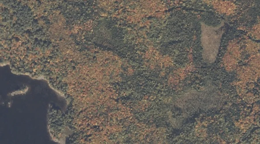
Tidswell Point is a cape in Coos County, New Hampshire, located about 25.8 miles north-northwest of Chapman Inn in Bethel, Maine. It appears on the USGS Umbagog Lake…
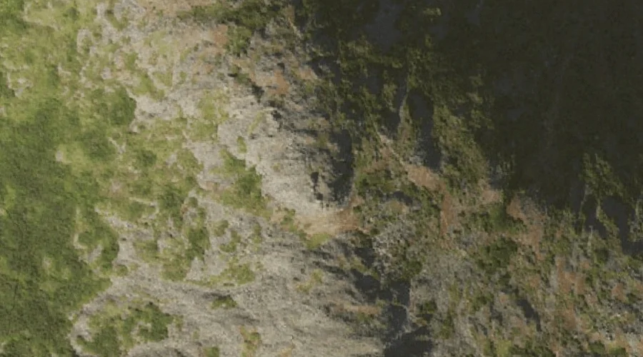
King Ravine is a valley in Coos County, New Hampshire, located about 25.5 miles west of Chapman Inn in Bethel, Maine. It appears on the USGS Mount Washington…
Closton Hill is a summit in Coos County, New Hampshire, located about 25.6 miles west-northwest of Chapman Inn in Bethel, Maine. It appears on the USGS Milan topographic…