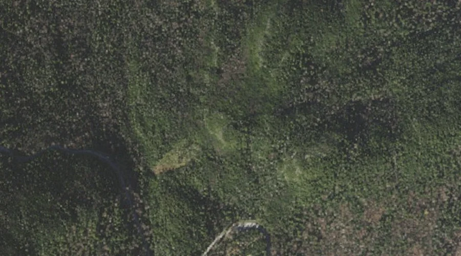
Sargent Cove is a bay in Coos County, New Hampshire, located about 24.7 miles north-northwest of Chapman Inn in Bethel, Maine. It appears on the USGS Umbagog Lake…
Milan Hill is a summit in Coos County, New Hampshire, located about 24.3 miles west-northwest of Chapman Inn in Bethel, Maine. It appears on the USGS Milan topographic…
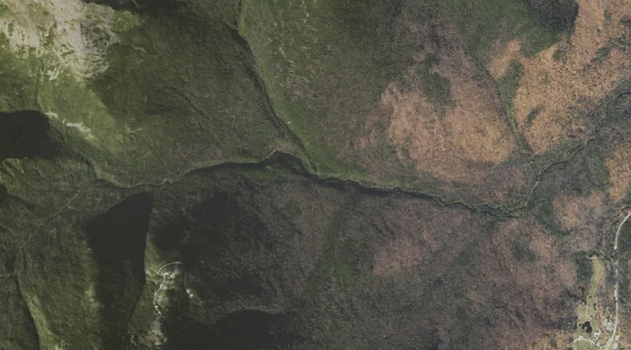
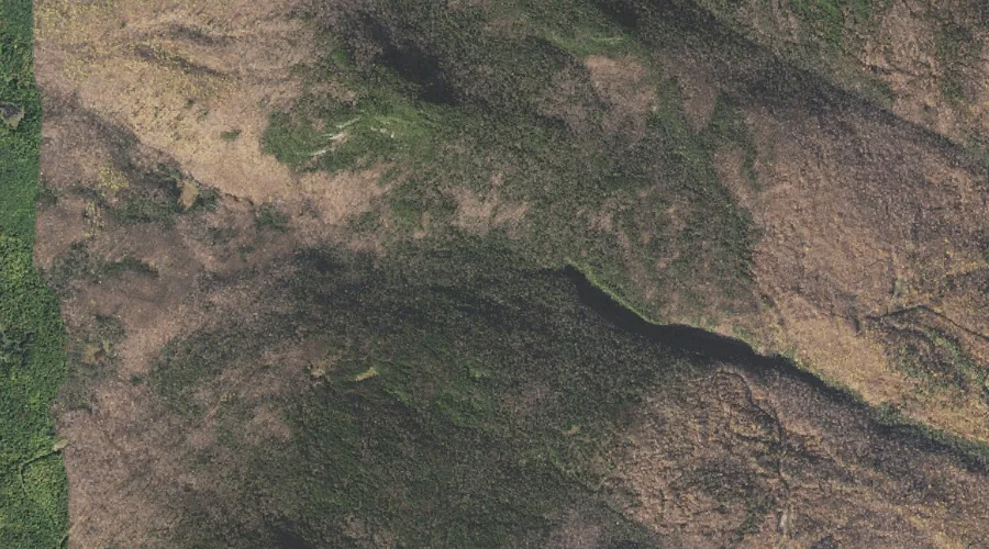
Madison Gulf is a valley in Coos County, New Hampshire, located about 24.4 miles west-southwest of Chapman Inn in Bethel, Maine. It appears on the USGS Mount Washington…
Parapet Brook is a stream in Coos County, New Hampshire, located about 24.4 miles west-southwest of Chapman Inn in Bethel, Maine. It appears on the USGS Mount Washington…
Osgood Ridge is a ridge in Coos County, New Hampshire, located about 24.4 miles west-southwest of Chapman Inn in Bethel, Maine. It appears on the USGS Mount Washington…
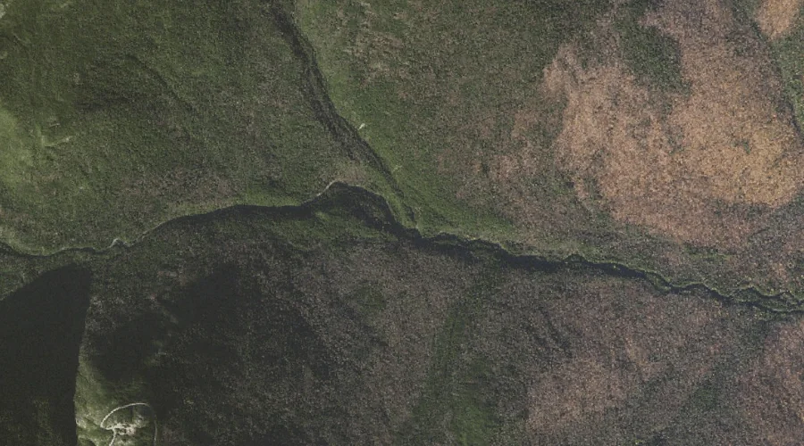
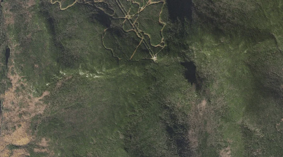
Howker Ridge is a ridge in Coos County, New Hampshire, located about 24.4 miles west-southwest of Chapman Inn in Bethel, Maine. It appears on the USGS Mount Washington…
Lows Bald Spot is a summit in Coos County, New Hampshire, located about 24.4 miles west-southwest of Chapman Inn in Bethel, Maine. It appears on the USGS Mount…
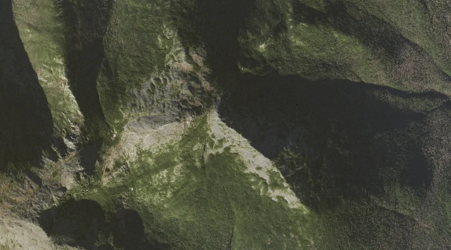
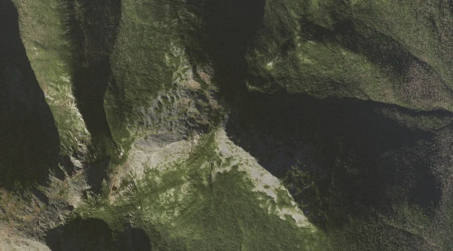
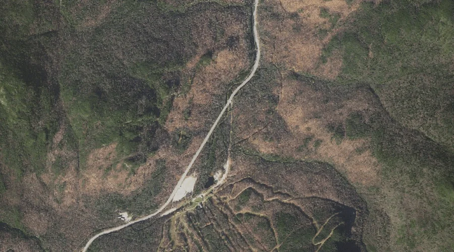
Hunters Pass is a mountain gap in Coos County, New Hampshire, located about 24.5 miles west of Chapman Inn in Bethel, Maine. It appears on the USGS Mount…
Wildcat Ridge is a ridge in Coos County, New Hampshire, located about 24.3 miles west-southwest of Chapman Inn in Bethel, Maine. It appears on the USGS Jackson topographic…
Thompson Brook is a stream in Coos County, New Hampshire, located about 24.0 miles west-southwest of Chapman Inn in Bethel, Maine. It appears on the USGS Carter Dome…