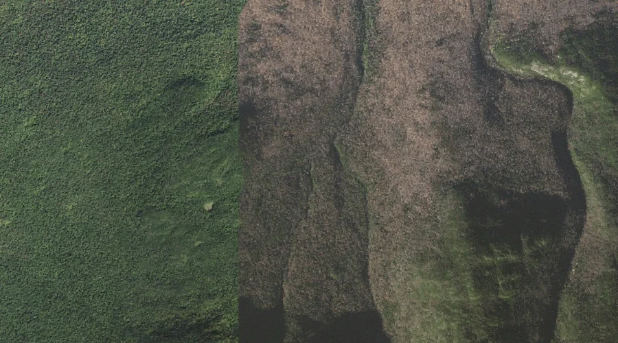
 Aerial imagery: USGS National Map (public domain)
Spur Brook — Streams 25.7 Miles W of Chapman Inn
Coos County, New Hampshire · USGS Mount Washington Quadrangle · GNIS 870119
Within Coos County, New Hampshire, on the USGS Mount Washington quadrangle, the stream known as Spur Brook sits 25.7 miles west of Chapman Inn.
Wikidata short description: “stream in Coös County, New Hampshire, United States of America”
Landmark Profile
Classification & USGS reference
Within Coos County, New Hampshire, the U.S. Geological Survey lists Spur Brook as a stream on the Mount Washington topographic quadrangle (FIPS 33/007), under Feature ID 870119. Last revised by the Board on Geographic Names on 04/02/2019.
Coordinates & physical setting
Spur Brook sits at 44.35128° N, 71.30310° W (DMS 44°21′05″ N, 71°18′11″ W).
As a linear feature its source lies near 44.33662° N, 71.30752° W (DMS 44°20′12″ N, 71°18′27″ W) — useful for anglers and paddlers tracing the upstream end.
Other streams in Coos County, New Hampshire
Coos County, NH contains 300 streams catalogued in the USGS Geographic Names Information System, counting Spur Brook itself. The ones closest to Spur Brook:
| Feature | USGS Quadrangle | Distance |
|---|---|---|
| Cold Brook | Mount Washington | 1.5 mi |
| Snyder Brook | Mount Washington | 1.8 mi |
| Cascade Brook | Mount Washington | 1.9 mi |
| Castle Brook | Mount Washington | 1.9 mi |
| The Mystic | Mount Washington | 2 mi |
| Carlton Brook | Mount Washington | 2 mi |
| Bumpus Brook | Mount Washington | 2.5 mi |
| Townline Brook | Carter Dome | 3.1 mi |
| Chandler Brook | Mount Washington | 3.6 mi |
| Parapet Brook | Mount Washington | 3.8 mi |
Features on the USGS Mount Washington Quadrangle
The Mount Washington 7.5-minute topographic quadrangle holds 68 catalogued natural features alongside Spur Brook. A sampling nearest to this location:
| Feature | Type | County | Offset |
|---|---|---|---|
| King Ravine | Valleys | Coos County, NH | 0.2 mi |
| Kelton Crag | Pillars | Coos County, NH | 1.5 mi |
| Cold Brook | Streams | Coos County, NH | 1.5 mi |
| Hitchcock Falls | Waterfalls | Coos County, NH | 1.7 mi |
| Coosauk Fall | Waterfalls | Coos County, NH | 1.8 mi |
| Mount Abigail Adams | Summits | Coos County, NH | 1.8 mi |
| Snyder Brook | Streams | Coos County, NH | 1.8 mi |
| Ravine of the Cascades | Valleys | Coos County, NH | 1.8 mi |
| Ravine of the Castles | Valleys | Coos County, NH | 1.8 mi |
| Cascade Brook | Streams | Coos County, NH | 1.9 mi |
Visiting from Chapman Inn
Distance, bearing & drive time
Follow the compass bearing W out of Bethel for 25.7 miles (west) and you reach Spur Brook; at typical rural speeds the trip runs roughly 44 minutes.
Best time to visit
Best observed in late spring and early summer when flow is strong and banks are visible. Being this far north (lat 44.351°), first snows typically arrive by mid-October and linger into early May — narrow the window accordingly. At 25.7 miles from the Inn, block the full day — sunrise start, late return, packed meals. Conditions at Spur Brook track the nearby King Ravine valley (essentially adjacent) closely — if that is runnable, so is this.
Nearest features to Spur Brook
| Feature | Type | County | Distance |
|---|---|---|---|
| King Ravine | Valleys | Coos County, NH | 0.2 mi |
| Kelton Crag | Pillars | Coos County, NH | 1.5 mi |
| Cold Brook | Streams | Coos County, NH | 1.5 mi |
| Hitchcock Falls | Waterfalls | Coos County, NH | 1.7 mi |
| Coosauk Fall | Waterfalls | Coos County, NH | 1.8 mi |
Frequently Asked Questions
Where is Spur Brook located?
Spur Brook is in Coos County, New Hampshire, approximately 25.7 miles west of Chapman Inn in Bethel, Maine. It appears on the USGS Mount Washington topographic quadrangle.
How far is Spur Brook from Chapman Inn?
The drive runs about 44 minutes, 25.7 miles west (bearing W) of the Inn.
What type of natural feature is Spur Brook?
The U.S. Geological Survey classifies Spur Brook as a stream, catalogued under GNIS Feature ID 870119 on the Mount Washington quadrangle.
When is the best time to visit Spur Brook?
Best observed in late spring and early summer when flow is strong and banks are visible.
How many other streams are in Coos County, New Hampshire?
GNIS lists 299 other streams in Coos County, New Hampshire.
Wikidata: Q35355305.