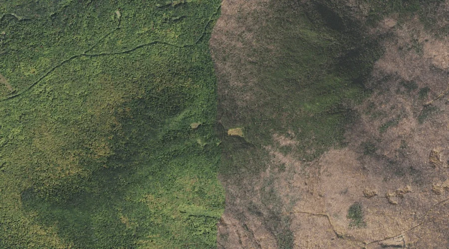
 Aerial imagery: USGS National Map (public domain)
Carlton Notch — Gaps 25.5 Miles W of Chapman Inn
Coos County, New Hampshire · USGS Mount Crescent Quadrangle · GNIS 866001
25.5 miles west of Chapman Inn, on the USGS Mount Crescent topographic quadrangle, Carlton Notch is a mountain gap recorded in Coos County, New Hampshire by the federal Geographic Names Information System.
Landmark Profile
Classification & USGS reference
The USGS Mount Crescent 7.5-minute topographic quadrangle places Carlton Notch in Coos County, New Hampshire (FIPS 33/007), classified as a mountain gap in the federal GNIS (Feature ID 866001). Last revised by the Board on Geographic Names on 05/25/2021.
Coordinates & physical setting
Carlton Notch sits at 44.40062° N, 71.30591° W (DMS 44°24′02″ N, 71°18′21″ W).
Other gaps in Coos County, New Hampshire
Coos County, NH contains 20 gaps catalogued in the USGS Geographic Names Information System, counting Carlton Notch itself. The ones closest to Carlton Notch:
| Feature | USGS Quadrangle | Distance |
|---|---|---|
| Hunters Pass | Mount Crescent | 1.7 mi |
| Edmands Col | Mount Washington | 6.2 mi |
| Willard Notch | Jefferson | 6.3 mi |
| Jefferson Notch | Mount Washington | 7.6 mi |
| Bunnell Notch | Jefferson | 8.2 mi |
| Trident Pass | Berlin | 8.8 mi |
| Pinkham Notch | Mount Washington | 10.2 mi |
| Zeta Pass | Carter Dome | 10.5 mi |
| Carter Notch | Carter Dome | 11 mi |
| Moriah George | Wild River | 12.5 mi |
Features on the USGS Mount Crescent Quadrangle
The Mount Crescent 7.5-minute topographic quadrangle holds 23 catalogued natural features alongside Carlton Notch. A sampling nearest to this location:
| Feature | Type | County | Offset |
|---|---|---|---|
| Mount Crescent | Summits | Coos County, NH | 0.6 mi |
| Mount Randolph | Summits | Coos County, NH | 1 mi |
| Lookout Ledge | Benches | Coos County, NH | 1.3 mi |
| Hunters Pass | Gaps | Coos County, NH | 1.7 mi |
| Pond of Safety | Lakes | Coos County, NH | 1.9 mi |
| Ice Gulch | Valleys | Coos County, NH | 2.1 mi |
| Peboamauk Fall | Waterfalls | Coos County, NH | 2.2 mi |
| Pond Hill | Summits | Coos County, NH | 2.7 mi |
| Crescent Range | Ranges | Coos County, NH | 3.2 mi |
| Black Crescent Mountain | Summits | Coos County, NH | 3.2 mi |
Visiting from Chapman Inn
Distance, bearing & drive time
Chapman Inn sits 25.5 miles west (bearing W) of Carlton Notch. At moderate back-road speeds the drive runs about 44 minutes — comfortably inside a half-day outing window after breakfast.
Best time to visit
Late May through October; avoid black-fly peak in late May. Being this far north (lat 44.401°), first snows typically arrive by mid-October and linger into early May — narrow the window accordingly. At 25.5 miles from the Inn, block the full day — sunrise start, late return, packed meals. Conditions at Carlton Notch track the nearby Mount Crescent summit (0.6 mi away) closely — if that is runnable, so is this.
Nearest features to Carlton Notch
| Feature | Type | County | Distance |
|---|---|---|---|
| Mount Crescent | Summits | Coos County, NH | 0.6 mi |
| Mount Randolph | Summits | Coos County, NH | 1 mi |
| Lookout Ledge | Benches | Coos County, NH | 1.3 mi |
| Hunters Pass | Gaps | Coos County, NH | 1.7 mi |
| Pond of Safety | Lakes | Coos County, NH | 1.9 mi |
Frequently Asked Questions
Where is Carlton Notch located?
Carlton Notch is in Coos County, New Hampshire, approximately 25.5 miles west of Chapman Inn in Bethel, Maine. It appears on the USGS Mount Crescent topographic quadrangle.
How far is Carlton Notch from Chapman Inn?
The drive runs about 44 minutes, 25.5 miles west (bearing W) of the Inn.
What type of natural feature is Carlton Notch?
The U.S. Geological Survey classifies Carlton Notch as a mountain gap, catalogued under GNIS Feature ID 866001 on the Mount Crescent quadrangle.
When is the best time to visit Carlton Notch?
Late May through October; avoid black-fly peak in late May.
How many other gaps are in Coos County, New Hampshire?
GNIS lists 19 other gaps in Coos County, New Hampshire.