Mount Quincy Adams is a summit in Coos County, New Hampshire, located about 25.3 miles west-southwest of Chapman Inn in Bethel, Maine. It appears on the USGS Mount…
Chandler Brook is a stream in Coos County, New Hampshire, located about 25.3 miles west-southwest of Chapman Inn in Bethel, Maine. It appears on the USGS Mount Washington…
Cutler River is a stream in Coos County, New Hampshire, located about 25.3 miles west-southwest of Chapman Inn in Bethel, Maine. It appears on the USGS Mount Washington…
Cold Brook is a stream in Coos County, New Hampshire, located about 25.3 miles west of Chapman Inn in Bethel, Maine. It appears on the USGS Mount Washington…
Jodrie Hill is a summit in Coos County, New Hampshire, located about 25.1 miles west-northwest of Chapman Inn in Bethel, Maine. It appears on the USGS Milan topographic…
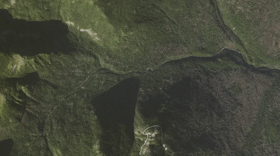
Star Lake is a lake in Coos County, New Hampshire, located about 25.1 miles west-southwest of Chapman Inn in Bethel, Maine. It appears on the USGS Mount Washington…
Mount Crescent is a summit in Coos County, New Hampshire, located about 24.9 miles west of Chapman Inn in Bethel, Maine. It rises to 3,251 feet above sea…
Gordon Ridge is a ridge in Coos County, New Hampshire, located about 24.6 miles west-southwest of Chapman Inn in Bethel, Maine. It appears on the USGS Mount Washington…
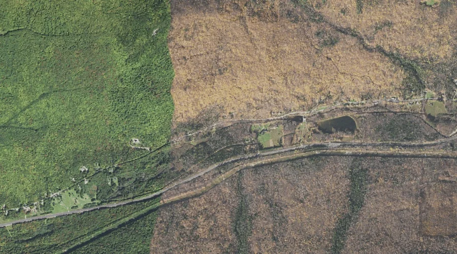
Snyder Brook is a stream in Coos County, New Hampshire, located about 24.6 miles west of Chapman Inn in Bethel, Maine. It appears on the USGS Mount Washington…
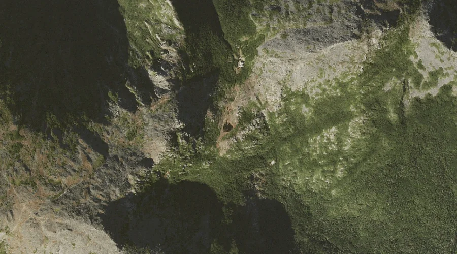
Mount Madison is a summit in Coos County, New Hampshire, located about 24.7 miles west-southwest of Chapman Inn in Bethel, Maine. It appears on the USGS Mount Washington…