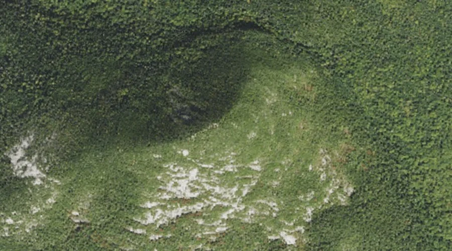
South Percy Peak is a summit in Coos County, New Hampshire, located about 36.3 miles west-northwest of Chapman Inn in Bethel, Maine. It appears on the USGS Percy…
Diamond Peaks is a summit in Coos County, New Hampshire, located about 36.3 miles north-northwest of Chapman Inn in Bethel, Maine. It appears on the USGS Wilsons Mills…
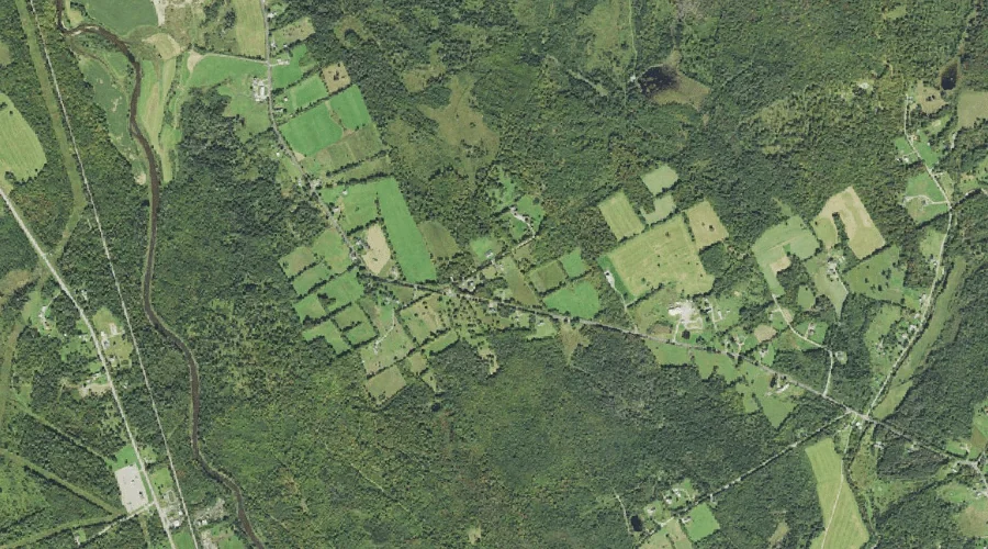
Elm Ridge is a ridge in Coos County, New Hampshire, located about 36.2 miles west of Chapman Inn in Bethel, Maine. It appears on the USGS Lancaster topographic…
Beach Hill is a summit in Coos County, New Hampshire, located about 35.9 miles west-northwest of Chapman Inn in Bethel, Maine. It appears on the USGS Stark topographic…
Dart Wentworth Spring is a spring in Coos County, New Hampshire, located about 35.9 miles north-northwest of Chapman Inn in Bethel, Maine. It appears on the USGS Wilsons…
Mud Pond is a lake in Coos County, New Hampshire, located about 36.0 miles west of Chapman Inn in Bethel, Maine. It appears on the USGS Lancaster topographic…
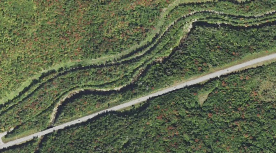
Lower Falls is a waterfall in Coos County, New Hampshire, located about 35.7 miles west-southwest of Chapman Inn in Bethel, Maine. It appears on the USGS Mount Dartmouth…
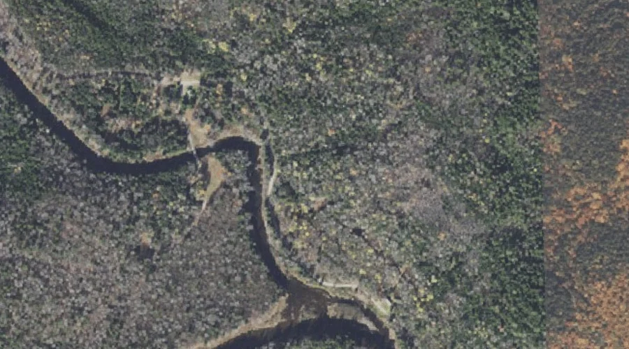
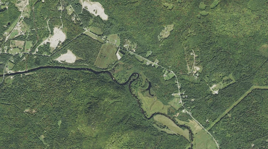
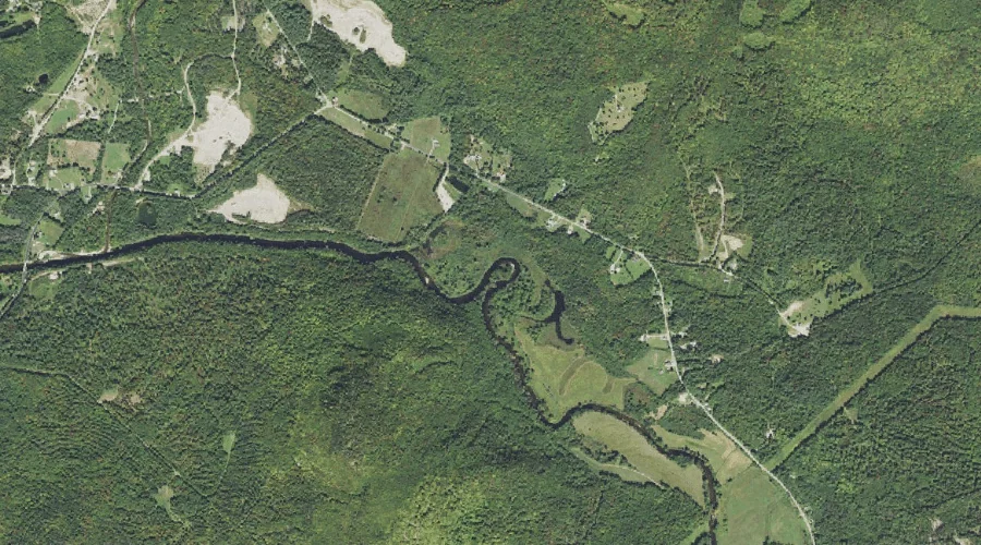
Jimmy Cole Brook is a stream in Coos County, New Hampshire, located about 35.8 miles west-northwest of Chapman Inn in Bethel, Maine. It appears on the USGS Percy…
Cherry Pond is a lake in Coos County, New Hampshire, located about 35.8 miles west of Chapman Inn in Bethel, Maine. It appears on the USGS Lancaster topographic…
Roaring Brook is a stream in Coos County, New Hampshire, located about 35.8 miles west-northwest of Chapman Inn in Bethel, Maine. It appears on the USGS Percy Peaks…