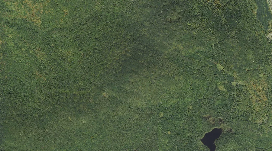
Mile Swamp is a swamp in Coos County, New Hampshire, located about 36.5 miles west-northwest of Chapman Inn in Bethel, Maine. It appears on the USGS Stark topographic…
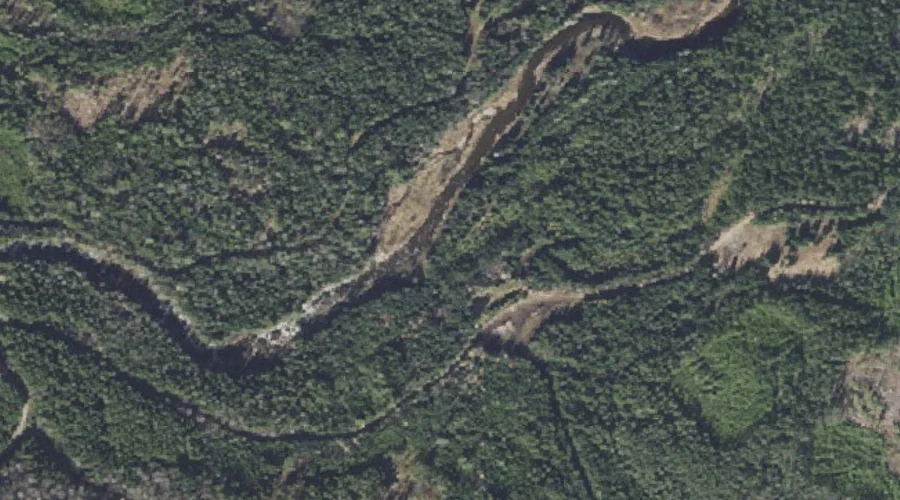
Ellingwood Falls is a waterfall in Coos County, New Hampshire, located about 36.4 miles north-northwest of Chapman Inn in Bethel, Maine. It appears on the USGS Errol topographic…
Whitcomb Mountain is a ridge in Coos County, New Hampshire, located about 36.4 miles northwest of Chapman Inn in Bethel, Maine. It appears on the USGS Dummer Ponds…
North Percy Peak is a summit in Coos County, New Hampshire, located about 36.5 miles west-northwest of Chapman Inn in Bethel, Maine. It appears on the USGS Percy…
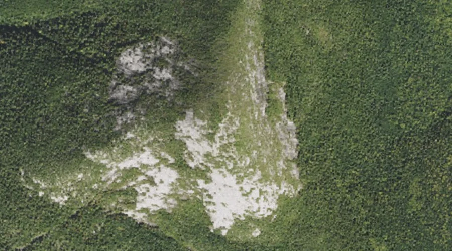
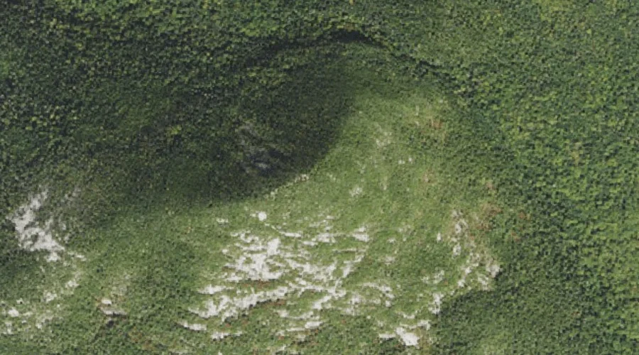
Linda Ledge is a cliff face in Coos County, New Hampshire, located about 36.2 miles north-northwest of Chapman Inn in Bethel, Maine. It appears on the USGS Wilsons…
South Percy Peak is a summit in Coos County, New Hampshire, located about 36.3 miles west-northwest of Chapman Inn in Bethel, Maine. It appears on the USGS Percy…
Diamond Peaks is a summit in Coos County, New Hampshire, located about 36.3 miles north-northwest of Chapman Inn in Bethel, Maine. It appears on the USGS Wilsons Mills…
Owlhead Mountain is a summit in Coos County, New Hampshire, located about 36.3 miles northwest of Chapman Inn in Bethel, Maine. It appears on the USGS Dixville Notch…
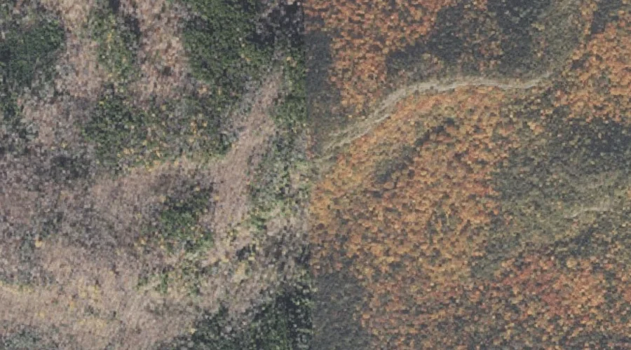
Stalbird Brook is a stream in Coos County, New Hampshire, located about 36.3 miles west of Chapman Inn in Bethel, Maine. It appears on the USGS Lancaster topographic…
Alice Ledge is a cliff face in Coos County, New Hampshire, located about 36.3 miles north-northwest of Chapman Inn in Bethel, Maine. It appears on the USGS Wilsons…