Swift Diamond River is a stream in Coos County, New Hampshire, located about 35.8 miles north-northwest of Chapman Inn in Bethel, Maine. It appears on the USGS Wilsons…
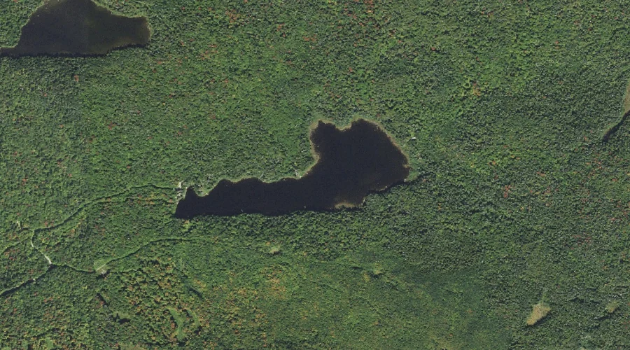
Little Bog Pond is a reservoir in Coos County, New Hampshire, located about 35.9 miles northwest of Chapman Inn in Bethel, Maine. It appears on the USGS Percy…
Cummings Brook is a stream in Coos County, New Hampshire, located about 35.6 miles west-northwest of Chapman Inn in Bethel, Maine. It appears on the USGS Stark topographic…
Tug Mountain is a summit in Coos County, New Hampshire, located about 35.6 miles west of Chapman Inn in Bethel, Maine. It appears on the USGS Lancaster topographic…
Jimmy Cole Ledge is a summit in Coos County, New Hampshire, located about 35.7 miles west-northwest of Chapman Inn in Bethel, Maine. It appears on the USGS Percy…
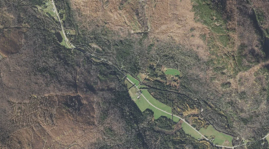
Garland Brook is a stream in Coos County, New Hampshire, located about 35.7 miles west of Chapman Inn in Bethel, Maine. It appears on the USGS Lancaster topographic…
Mount Martha is a summit in Coos County, New Hampshire, located about 35.5 miles west of Chapman Inn in Bethel, Maine. It appears on the USGS Mount Dartmouth…
Welch Brook is a stream in Coos County, New Hampshire, located about 35.5 miles northwest of Chapman Inn in Bethel, Maine. It appears on the USGS Errol topographic…
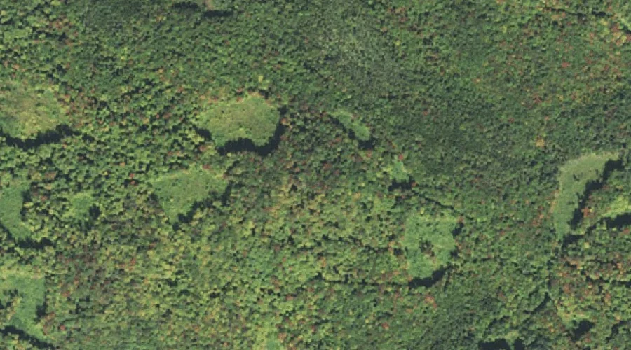
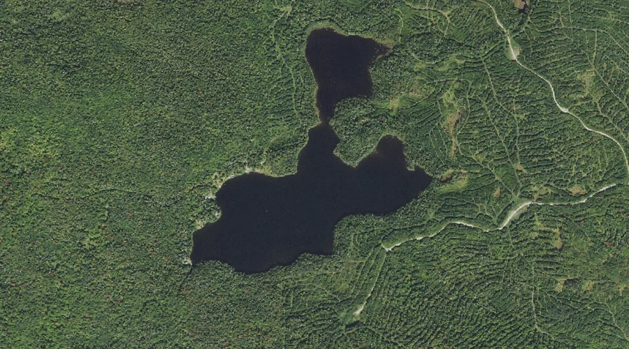
Trio Pond is a reservoir in Coos County, New Hampshire, located about 35.4 miles northwest of Chapman Inn in Bethel, Maine. It appears on the USGS Dummer Ponds…
Trio Ponds is a lake in Coos County, New Hampshire, located about 35.4 miles northwest of Chapman Inn in Bethel, Maine. It appears on the USGS Dummer Ponds…