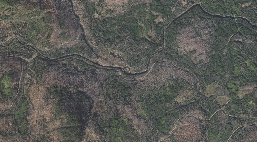
East Branch Swift Diamond River is a stream in Coos County, New Hampshire, located about 36.6 miles north-northwest of Chapman Inn in Bethel, Maine. It appears on the…
Larrys Brook is a stream in Coos County, New Hampshire, located about 36.6 miles north-northwest of Chapman Inn in Bethel, Maine. It appears on the USGS Errol topographic…
Number Three Brook is a stream in Coos County, New Hampshire, located about 36.7 miles northwest of Chapman Inn in Bethel, Maine. It appears on the USGS Dixville…
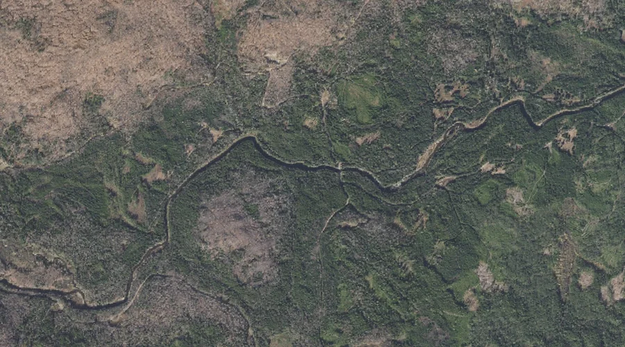
Nash Stream is a stream in Coos County, New Hampshire, located about 36.7 miles west-northwest of Chapman Inn in Bethel, Maine. It appears on the USGS Percy Peaks…
Burnside Brook is a stream in Coos County, New Hampshire, located about 36.5 miles west of Chapman Inn in Bethel, Maine. It appears on the USGS Lancaster topographic…
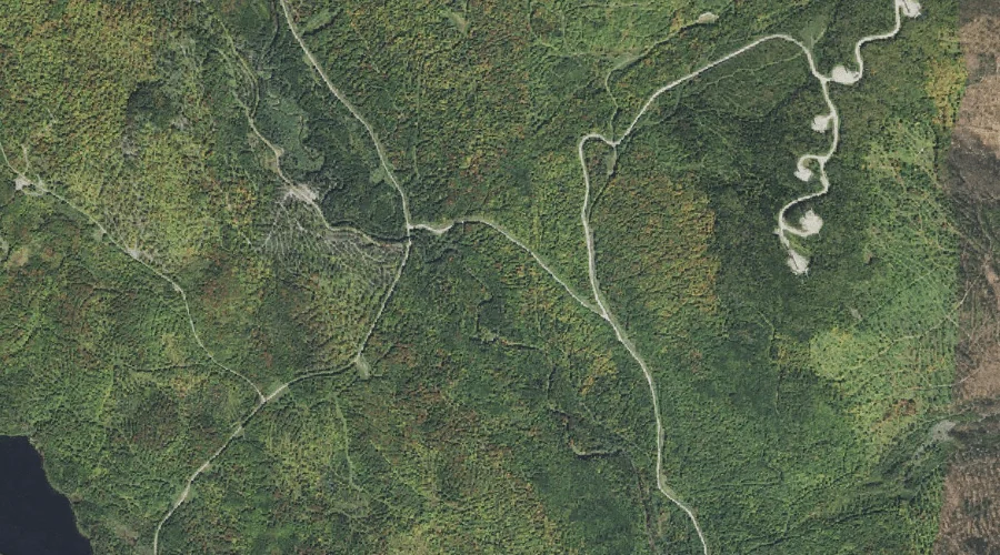
Percy Peaks is a summit in Coos County, New Hampshire, located about 36.5 miles west-northwest of Chapman Inn in Bethel, Maine. It appears on the USGS Percy Peaks…
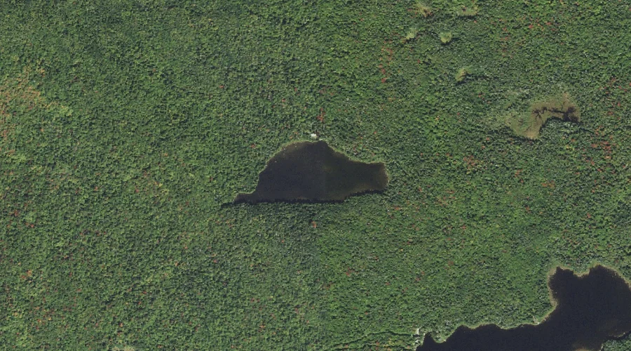
Whitcomb Pond is a lake in Coos County, New Hampshire, located about 36.5 miles northwest of Chapman Inn in Bethel, Maine. It appears on the USGS Percy Peaks…
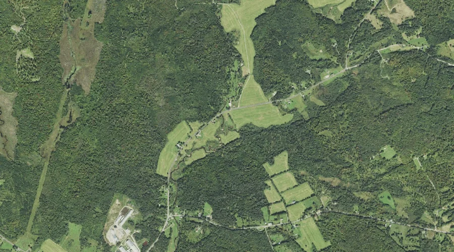
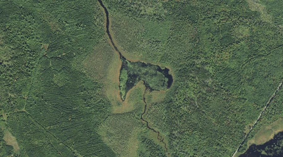
Little Cherry Pond is a lake in Coos County, New Hampshire, located about 36.5 miles west of Chapman Inn in Bethel, Maine. It appears on the USGS Lancaster…
Caleb Brook is a stream in Coos County, New Hampshire, located about 36.5 miles west of Chapman Inn in Bethel, Maine. It appears on the USGS Lancaster topographic…
West Branch Clear Stream is a stream in Coos County, New Hampshire, located about 36.5 miles northwest of Chapman Inn in Bethel, Maine. It appears on the USGS…