 Aerial imagery: USGS National Map (public domain)
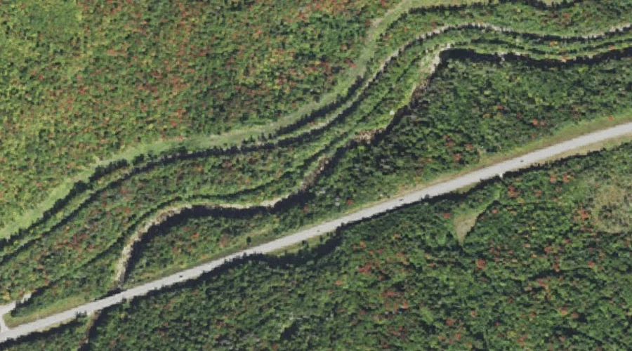
Lower Falls — Waterfalls 35.7 Miles WSW of Chapman Inn
Coos County, New Hampshire · USGS Mount Dartmouth Quadrangle · GNIS 868198
Catalogued on the USGS Mount Dartmouth quadrangle in Coos County, New Hampshire, Lower Falls — a waterfall — lies 35.7 miles west-southwest of Chapman Inn.
Landmark Profile
Classification & USGS reference
Catalogued under GNIS Feature ID 868198, Lower Falls is recorded as a waterfall on the USGS Mount Dartmouth quadrangle in Coos County, New Hampshire (FIPS 33/007). Catalogued in GNIS since 08/27/1980.
Coordinates & physical setting
Lower Falls sits at 44.26784° N, 71.48619° W (DMS 44°16′04″ N, 71°29′10″ W).
As a linear feature its source lies near 0.00000° N, 0.00000° W — useful for anglers and paddlers tracing the upstream end.
Other waterfalls in Coos County, New Hampshire
Coos County, NH contains 12 waterfalls catalogued in the USGS Geographic Names Information System, counting Lower Falls itself. The ones closest to Lower Falls:
| Feature | USGS Quadrangle | Distance |
|---|---|---|
| Upper Falls | Mount Dartmouth | 3.1 mi |
| Glen Ellis Falls | Stairs Mountain | 11.7 mi |
| Hitchcock Falls | Mount Washington | 12.4 mi |
| Coosauk Fall | Mount Washington | 12.5 mi |
| Triple Falls | Carter Dome | 13.5 mi |
| Peboamauk Fall | Mount Crescent | 14.9 mi |
| Giant Falls | Shelburne | 21.9 mi |
| Dryad Falls | Shelburne | 23.5 mi |
| Beaver Brook Falls | Lovering Mountain | 45 mi |
| Ellingwood Falls | Errol | 45.4 mi |
Features on the USGS Mount Dartmouth Quadrangle
The Mount Dartmouth 7.5-minute topographic quadrangle holds 32 catalogued natural features alongside Lower Falls. A sampling nearest to this location:
| Feature | Type | County | Offset |
|---|---|---|---|
| Deception Brook | Streams | Coos County, NH | 0.6 mi |
| Mount Oscar | Summits | Grafton County, NH | 1.2 mi |
| Little Mount Deception | Summits | Coos County, NH | 1.7 mi |
| Sebosis Brook | Streams | Coos County, NH | 2.5 mi |
| Dartmouth Brook | Streams | Coos County, NH | 2.5 mi |
| Upper Falls | Waterfalls | Coos County, NH | 3.1 mi |
| Mount Deception | Summits | Coos County, NH | 3.3 mi |
| Halfway Brook | Streams | Coos County, NH | 3.8 mi |
| Appleby Mountain | Summits | Coos County, NH | 3.8 mi |
| Abenaki Brook | Streams | Coos County, NH | 4.1 mi |
Visiting from Chapman Inn
Distance, bearing & drive time
A 61-minute drive along back roads separates the front door of Chapman Inn from Lower Falls — 35.7 miles west-southwest as the crow flies, on compass bearing WSW.
Best time to visit
Peak flow runs mid-April through June after snowmelt; late summer can be thin or dry. Being this far north (lat 44.268°), first snows typically arrive by mid-October and linger into early May — narrow the window accordingly. At 35.7 miles from the Inn, block the full day — sunrise start, late return, packed meals. Conditions at Lower Falls track the nearby Deception Brook stream (0.6 mi away) closely — if that is runnable, so is this.
Nearest features to Lower Falls
| Feature | Type | County | Distance |
|---|---|---|---|
| Deception Brook | Streams | Coos County, NH | 0.6 mi |
| Black Brook | Streams | Coos County, NH | 1.1 mi |
| Mount Oscar | Summits | Grafton County, NH | 1.2 mi |
| Zealand River | Streams | Coos County, NH | 1.3 mi |
| Little Mount Deception | Summits | Coos County, NH | 1.7 mi |
Frequently Asked Questions
Where is Lower Falls located?
Lower Falls is in Coos County, New Hampshire, approximately 35.7 miles west-southwest of Chapman Inn in Bethel, Maine. It appears on the USGS Mount Dartmouth topographic quadrangle.
How far is Lower Falls from Chapman Inn?
The drive runs about 61 minutes, 35.7 miles west-southwest (bearing WSW) of the Inn.
What type of natural feature is Lower Falls?
The U.S. Geological Survey classifies Lower Falls as a waterfall, catalogued under GNIS Feature ID 868198 on the Mount Dartmouth quadrangle.
When is the best time to visit Lower Falls?
Peak flow runs mid-April through June after snowmelt; late summer can be thin or dry.
How many other waterfalls are in Coos County, New Hampshire?
GNIS lists 11 other waterfalls in Coos County, New Hampshire.