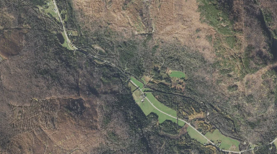
Welch Brook is a stream in Coos County, New Hampshire, located about 35.5 miles northwest of Chapman Inn in Bethel, Maine. It appears on the USGS Errol topographic…
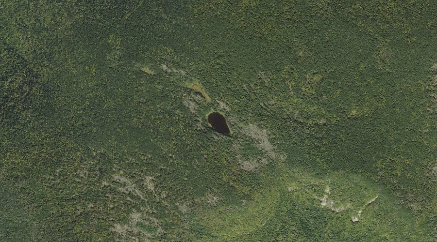
Long Mountain Pond is a lake in Coos County, New Hampshire, located about 35.2 miles west-northwest of Chapman Inn in Bethel, Maine. It appears on the USGS Percy…
Potters Ledge is a summit in Coos County, New Hampshire, located about 35.2 miles west-northwest of Chapman Inn in Bethel, Maine. It appears on the USGS Percy Peaks…
Black Mountain is a summit in Coos County, New Hampshire, located about 35.3 miles north-northwest of Chapman Inn in Bethel, Maine. It appears on the USGS Errol topographic…
Owlshead is a summit in Coos County, New Hampshire, located about 35.0 miles west of Chapman Inn in Bethel, Maine. It appears on the USGS Mount Dartmouth topographic…
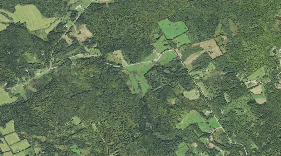
Bone Brook is a stream in Coos County, New Hampshire, located about 35.1 miles west of Chapman Inn in Bethel, Maine. It appears on the USGS Jefferson topographic…
Redman Brook is a stream in Coos County, New Hampshire, located about 35.1 miles west of Chapman Inn in Bethel, Maine. It appears on the USGS Jefferson topographic…
Deception Brook is a stream in Coos County, New Hampshire, located about 35.1 miles west-southwest of Chapman Inn in Bethel, Maine. It appears on the USGS Mount Dartmouth…
Fox Brook is a stream in Coos County, New Hampshire, located about 35.0 miles west-northwest of Chapman Inn in Bethel, Maine. It appears on the USGS Stark topographic…
Dead Diamond River is a stream in Coos County, New Hampshire, located about 35.0 miles north-northwest of Chapman Inn in Bethel, Maine. It appears on the USGS Wilsons…