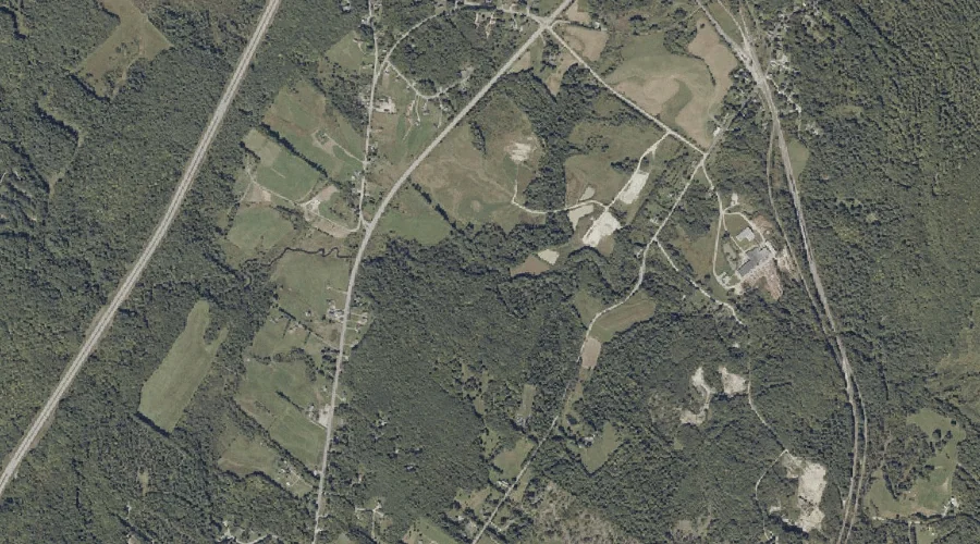
Hill Ridge is a ridge in Androscoggin County, Maine, located about 36.8 miles east-southeast of Chapman Inn in Bethel, Maine. It appears on the USGS Lake Auburn East…
Garcelon Bog is a swamp in Androscoggin County, Maine, located about 36.9 miles southeast of Chapman Inn in Bethel, Maine. It appears on the USGS Lewiston topographic quadrangle.
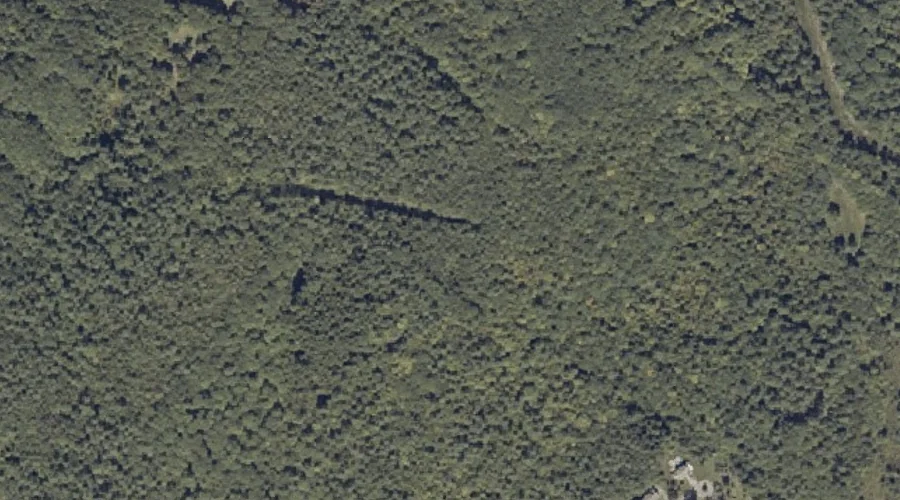
Moose Brook is a stream in Androscoggin County, Maine, located about 36.9 miles southeast of Chapman Inn in Bethel, Maine. It appears on the USGS Minot topographic quadrangle.
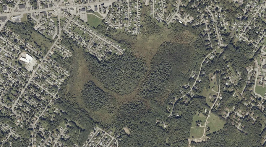
Thorncrag Hill is a summit in Androscoggin County, Maine, located about 36.5 miles east-southeast of Chapman Inn in Bethel, Maine. It appears on the USGS Lewiston topographic quadrangle.
Highland Spring is a spring in Androscoggin County, Maine, located about 36.5 miles east-southeast of Chapman Inn in Bethel, Maine. It appears on the USGS Lewiston topographic quadrangle.
Island Pond is a lake in Androscoggin County, Maine, located about 36.4 miles east-southeast of Chapman Inn in Bethel, Maine. It appears on the USGS Monmouth topographic quadrangle.
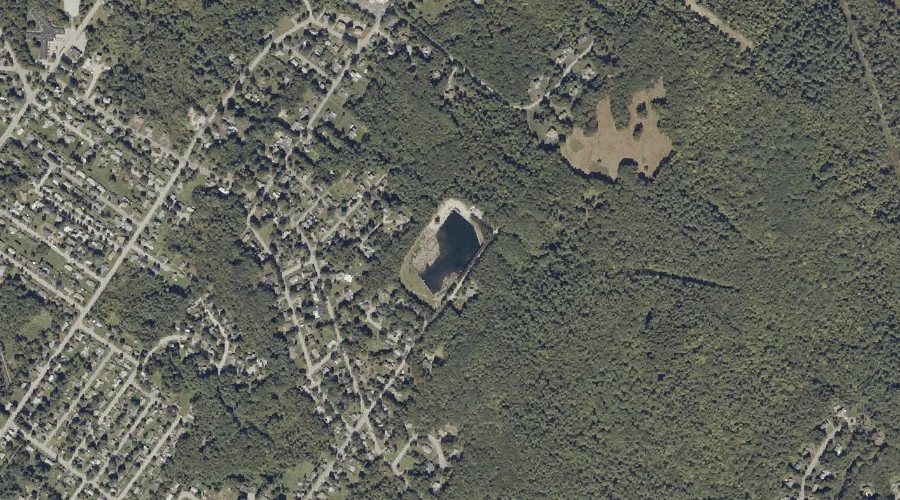
Montello Heights Reservoir is a reservoir in Androscoggin County, Maine, located about 36.1 miles east-southeast of Chapman Inn in Bethel, Maine. It appears on the USGS Lewiston topographic…
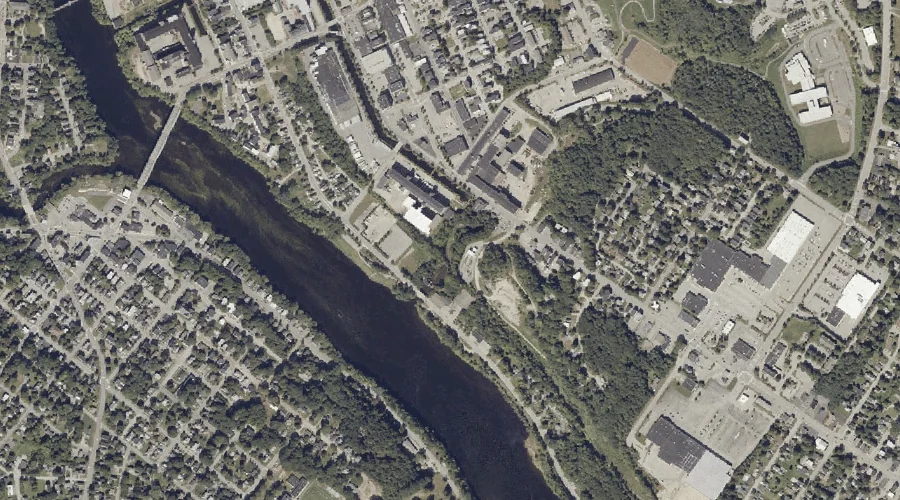
Androscoggin River Reservoir is a reservoir in Androscoggin County, Maine, located about 36.0 miles southeast of Chapman Inn in Bethel, Maine. It appears on the USGS Lewiston topographic…
Christian Hill is a summit in Androscoggin County, Maine, located about 35.6 miles southeast of Chapman Inn in Bethel, Maine. It appears on the USGS Minot topographic quadrangle.
Little Sabattus Mountain is a summit in Androscoggin County, Maine, located about 35.6 miles east-southeast of Chapman Inn in Bethel, Maine. It appears on the USGS Monmouth topographic…