Moody Brook is a stream in Androscoggin County, Maine, located about 40.9 miles southeast of Chapman Inn in Bethel, Maine. It appears on the USGS Lewiston topographic quadrangle.
Curtis Brook is a stream in Androscoggin County, Maine, located about 41.0 miles east-southeast of Chapman Inn in Bethel, Maine. It appears on the USGS Lisbon Falls North…
Lauraffe Ledge is a bench terrace in Androscoggin County, Maine, located about 40.8 miles southeast of Chapman Inn in Bethel, Maine. It appears on the USGS North Pownal…
Maxwell Brook is a stream in Androscoggin County, Maine, located about 40.5 miles east-southeast of Chapman Inn in Bethel, Maine. It appears on the USGS Lisbon Falls North…
Robinson Mountain is a summit in Androscoggin County, Maine, located about 40.0 miles southeast of Chapman Inn in Bethel, Maine. It appears on the USGS Lewiston topographic quadrangle.
Round Pond is a lake in Androscoggin County, Maine, located about 40.0 miles east-southeast of Chapman Inn in Bethel, Maine. It appears on the USGS Lisbon Falls North…
Sabattus Mountain is a summit in Androscoggin County, Maine, located about 39.5 miles east-southeast of Chapman Inn in Bethel, Maine. It appears on the USGS Monmouth topographic quadrangle.
Soper Mill Brook is a stream in Androscoggin County, Maine, located about 39.3 miles southeast of Chapman Inn in Bethel, Maine. It appears on the USGS Lewiston topographic…
Martin Point is a cape in Androscoggin County, Maine, located about 38.9 miles east-southeast of Chapman Inn in Bethel, Maine. It appears on the USGS Monmouth topographic quadrangle.
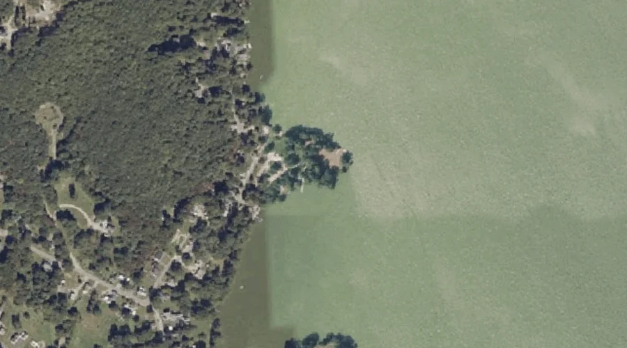
Sabattus Pond is a reservoir in Androscoggin County, Maine, located about 39.0 miles east-southeast of Chapman Inn in Bethel, Maine. It appears on the USGS Lisbon Falls North…