Bishop Hill is a summit in Androscoggin County, Maine, located about 35.7 miles east-southeast of Chapman Inn in Bethel, Maine. It appears on the USGS Wayne topographic quadrangle.
Taylor Brook is a stream in Androscoggin County, Maine, located about 35.5 miles southeast of Chapman Inn in Bethel, Maine. It appears on the USGS Lewiston topographic quadrangle.
Lake Andrews is a lake in Androscoggin County, Maine, located about 35.5 miles southeast of Chapman Inn in Bethel, Maine. It appears on the USGS Lewiston topographic quadrangle.
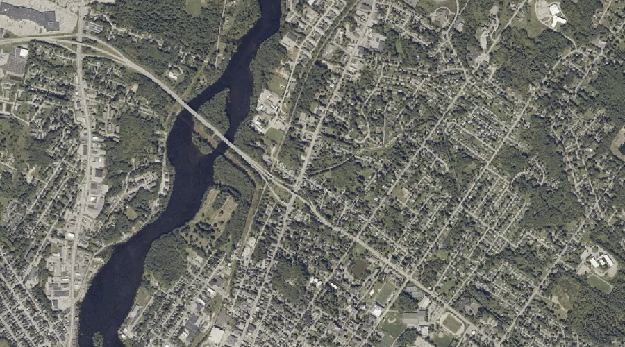
Little Androscoggin River is a stream in Androscoggin County, Maine, located about 35.5 miles southeast of Chapman Inn in Bethel, Maine. It appears on the USGS Lewiston topographic…
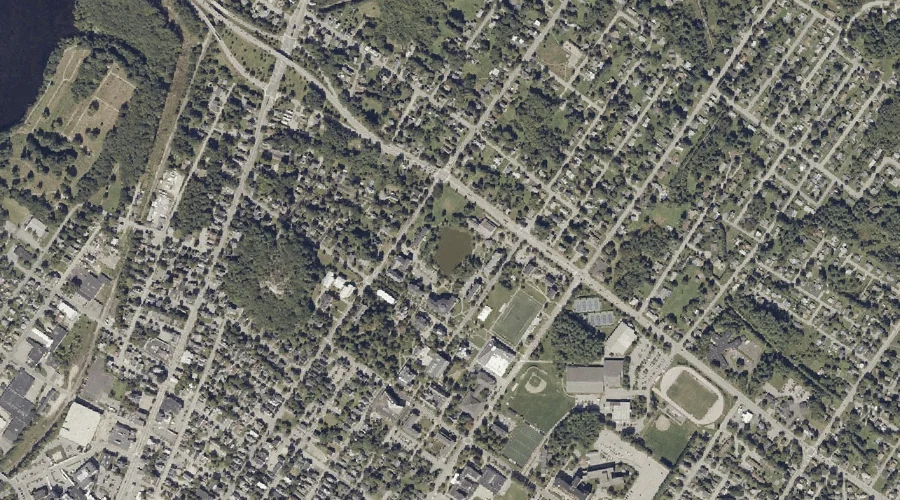
Mount David is a summit in Androscoggin County, Maine, located about 35.3 miles southeast of Chapman Inn in Bethel, Maine. It appears on the USGS Lewiston topographic quadrangle.
Laurel Hill is a summit in Androscoggin County, Maine, located about 35.4 miles southeast of Chapman Inn in Bethel, Maine. It appears on the USGS Lewiston topographic quadrangle.
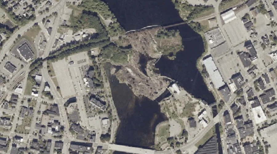
Barker Mill Dam Pond is a reservoir in Androscoggin County, Maine, located about 35.2 miles southeast of Chapman Inn in Bethel, Maine. It appears on the USGS Lewiston…
Great Falls is a waterfall in Androscoggin County, Maine, located about 35.1 miles southeast of Chapman Inn in Bethel, Maine. It appears on the USGS Lewiston topographic quadrangle.
Fox Island is a island in Androscoggin County, Maine, located about 35.1 miles southeast of Chapman Inn in Bethel, Maine. It appears on the USGS Lewiston topographic quadrangle.
Jepson Brook is a stream in Androscoggin County, Maine, located about 35.2 miles southeast of Chapman Inn in Bethel, Maine. It appears on the USGS Lewiston topographic quadrangle.