 Aerial imagery: USGS National Map (public domain)
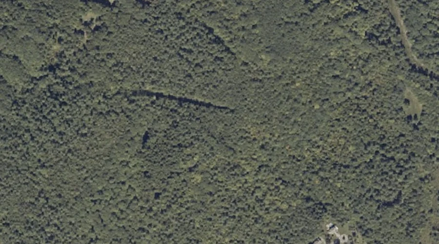
Thorncrag Hill — Summits 36.5 Miles ESE of Chapman Inn
Androscoggin County, Maine · USGS Lewiston Quadrangle · GNIS 577027
Catalogued on the USGS Lewiston quadrangle in Androscoggin County, Maine, Thorncrag Hill — a summit — lies 36.5 miles east-southeast of Chapman Inn.
Wikidata short description: “mountain in United States of America”
Landmark Profile
Classification & USGS reference
Catalogued under GNIS Feature ID 577027, Thorncrag Hill is recorded as a summit on the USGS Lewiston quadrangle in Androscoggin County, Maine (FIPS 23/001). Last revised by the Board on Geographic Names on 05/04/2024.
Coordinates & physical setting
Thorncrag Hill sits at 44.11397° N, 70.17311° W (DMS 44°06′50″ N, 70°10′23″ W).
Other summits in Androscoggin County, Maine
Androscoggin County, ME contains 71 summits catalogued in the USGS Geographic Names Information System, counting Thorncrag Hill itself. The ones closest to Thorncrag Hill:
| Feature | USGS Quadrangle | Elevation | Distance |
|---|---|---|---|
| Mount David | Lewiston | — | 1.8 mi |
| Apple Sass Hill | Lewiston | — | 2.3 mi |
| Hedgehog Hill | Lewiston | — | 2.4 mi |
| Laurel Hill | Lewiston | — | 3.1 mi |
| Robinson Mountain | Lewiston | — | 3.8 mi |
| Mount Giles | Lake Auburn East | — | 3.8 mi |
| Merrill Hill | Lewiston | — | 3.9 mi |
| Pride Hill | Minot | — | 4.5 mi |
| Sabattus Mountain | Monmouth | — | 5.1 mi |
| Dillingham Hill | Lake Auburn West | — | 5.9 mi |
Features on the USGS Lewiston Quadrangle
The Lewiston 7.5-minute topographic quadrangle holds 26 catalogued natural features alongside Thorncrag Hill. A sampling nearest to this location:
| Feature | Type | County | Offset |
|---|---|---|---|
| Highland Spring | Springs | Androscoggin County, ME | 0.4 mi |
| Montello Heights Reservoir | Reservoirs | Androscoggin County, ME | 0.4 mi |
| Garcelon Bog | Swamps | Androscoggin County, ME | 1.3 mi |
| Lake Andrews | Lakes | Androscoggin County, ME | 1.5 mi |
| Jepson Brook | Streams | Androscoggin County, ME | 1.7 mi |
| No Name Pond | Lakes | Androscoggin County, ME | 1.8 mi |
| Mount David | Summits | Androscoggin County, ME | 1.8 mi |
| Boxer Island | Islands | Androscoggin County, ME | 2 mi |
| Apple Sass Hill | Summits | Androscoggin County, ME | 2.3 mi |
| Hedgehog Hill | Summits | Androscoggin County, ME | 2.4 mi |
Visiting from Chapman Inn
Distance, bearing & drive time
A 63-minute drive along back roads separates the front door of Chapman Inn from Thorncrag Hill — 36.5 miles east-southeast as the crow flies, on compass bearing ESE.
Best time to visit
Accessible May through November in most years. At this latitude (44.114°), the shoulder seasons are workable — April and November can be comfortable on mild years. At 36.5 miles from the Inn, block the full day — sunrise start, late return, packed meals. Conditions at Thorncrag Hill track the nearby Highland Spring (0.4 mi away) closely — if that is runnable, so is this.
Nearest features to Thorncrag Hill
| Feature | Type | County | Distance |
|---|---|---|---|
| Highland Spring | Springs | Androscoggin County, ME | 0.4 mi |
| Montello Heights Reservoir | Reservoirs | Androscoggin County, ME | 0.4 mi |
| Garcelon Bog | Swamps | Androscoggin County, ME | 1.3 mi |
| Stetson Brook | Streams | Androscoggin County, ME | 1.3 mi |
| Lake Andrews | Lakes | Androscoggin County, ME | 1.5 mi |
Frequently Asked Questions
Where is Thorncrag Hill located?
Thorncrag Hill is in Androscoggin County, Maine, approximately 36.5 miles east-southeast of Chapman Inn in Bethel, Maine. It appears on the USGS Lewiston topographic quadrangle.
How far is Thorncrag Hill from Chapman Inn?
The drive runs about 63 minutes, 36.5 miles east-southeast (bearing ESE) of the Inn.
What type of natural feature is Thorncrag Hill?
The U.S. Geological Survey classifies Thorncrag Hill as a summit, catalogued under GNIS Feature ID 577027 on the Lewiston quadrangle.
When is the best time to visit Thorncrag Hill?
Accessible May through November in most years.
How many other summits are in Androscoggin County, Maine?
GNIS lists 70 other summits in Androscoggin County, Maine.
Wikidata: Q33151414.