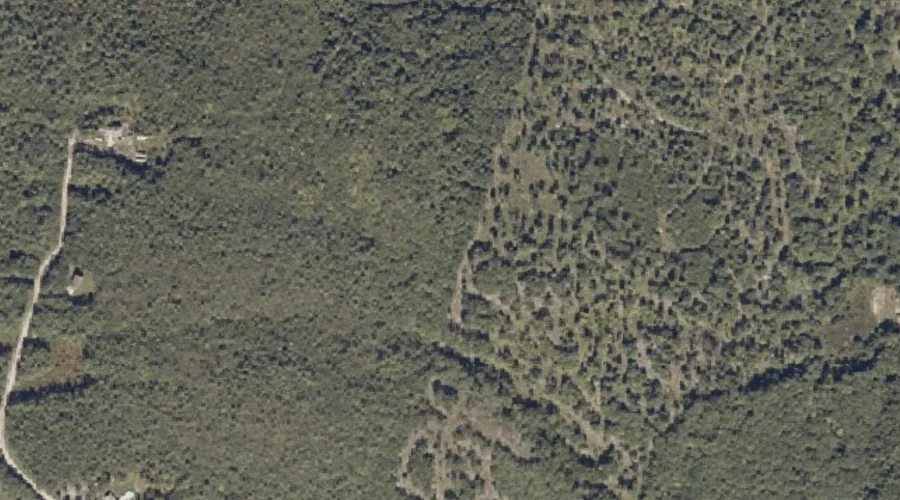
Hedgehog Hill is a summit in Androscoggin County, Maine, located about 38.4 miles east-southeast of Chapman Inn in Bethel, Maine. It appears on the USGS Lewiston topographic quadrangle.
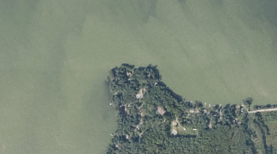
Marr Point is a cape in Androscoggin County, Maine, located about 38.4 miles east-southeast of Chapman Inn in Bethel, Maine. It appears on the USGS Monmouth topographic quadrangle.
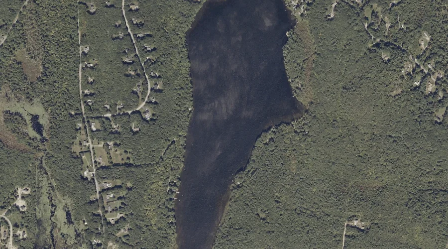
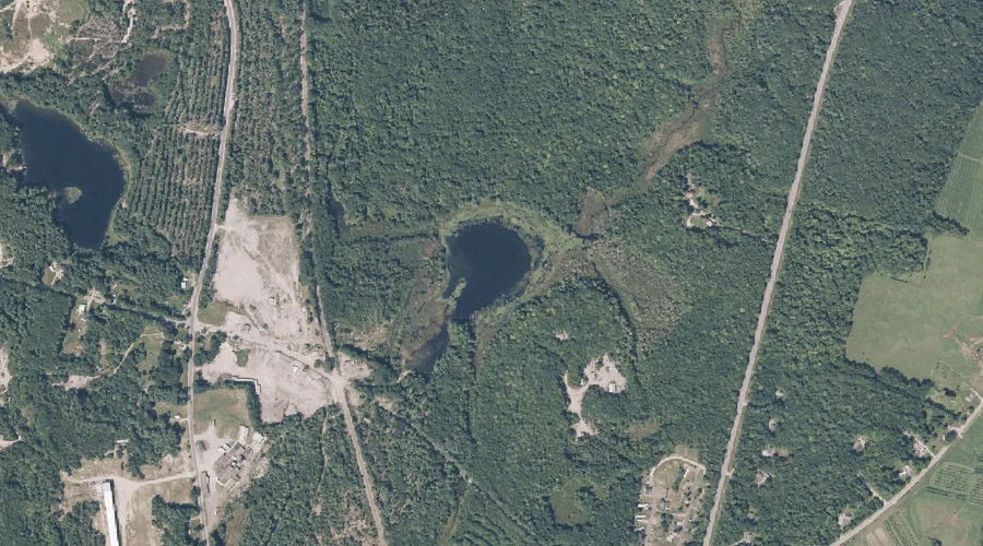
Custer Pond is a lake in Androscoggin County, Maine, located about 38.6 miles east-southeast of Chapman Inn in Bethel, Maine. It appears on the USGS Monmouth topographic quadrangle.
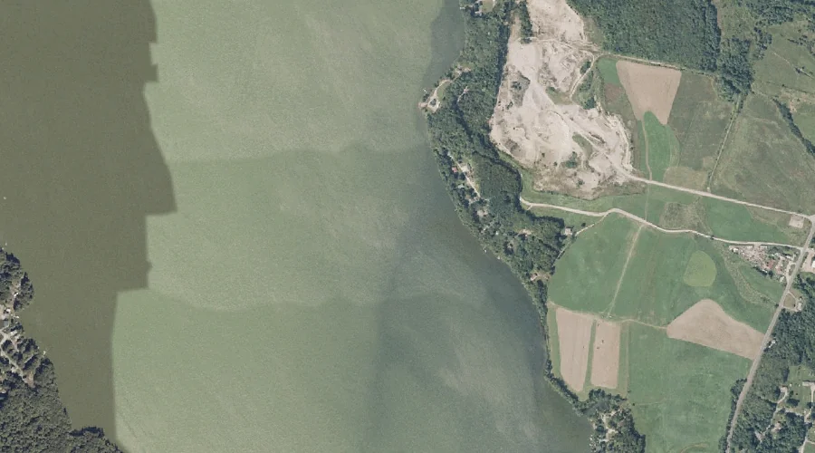
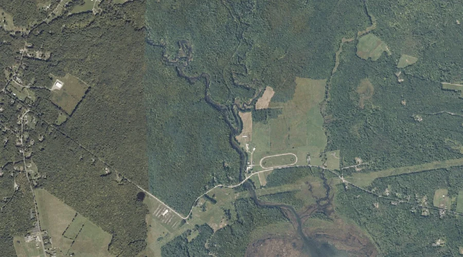
Dead River is a stream in Androscoggin County, Maine, located about 38.1 miles east-southeast of Chapman Inn in Bethel, Maine. It appears on the USGS Monmouth topographic quadrangle.
No Name Pond is a lake in Androscoggin County, Maine, located about 37.6 miles east-southeast of Chapman Inn in Bethel, Maine. It appears on the USGS Lewiston topographic…
Hart Brook is a stream in Androscoggin County, Maine, located about 37.6 miles southeast of Chapman Inn in Bethel, Maine. It appears on the USGS Lewiston topographic quadrangle.
Hooper Brook is a stream in Androscoggin County, Maine, located about 37.5 miles east-southeast of Chapman Inn in Bethel, Maine. It appears on the USGS Monmouth topographic quadrangle.
Woodbury Hill is a summit in Androscoggin County, Maine, located about 37.4 miles southeast of Chapman Inn in Bethel, Maine. It appears on the USGS Lewiston topographic quadrangle.
Bonny Pond is a lake in Androscoggin County, Maine, located about 37.0 miles east-southeast of Chapman Inn in Bethel, Maine. It appears on the USGS Monmouth topographic quadrangle.
Apple Sass Hill is a summit in Androscoggin County, Maine, located about 36.9 miles southeast of Chapman Inn in Bethel, Maine. It appears on the USGS Lewiston topographic…