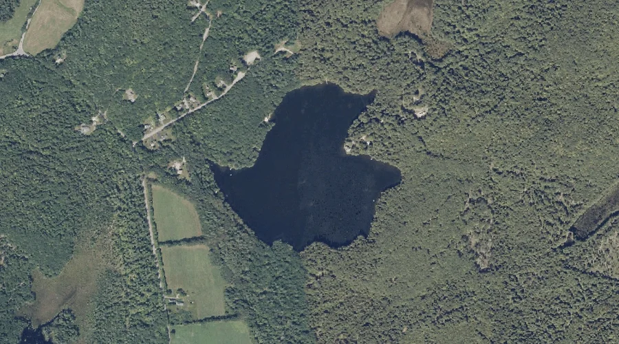
Loon Pond is a lake in Androscoggin County, Maine, located about 42.0 miles east-southeast of Chapman Inn in Bethel, Maine. It appears on the USGS Lisbon Falls North…
Curtis Bog is a lake in Androscoggin County, Maine, located about 42.1 miles east-southeast of Chapman Inn in Bethel, Maine. It appears on the USGS Lisbon Falls North…
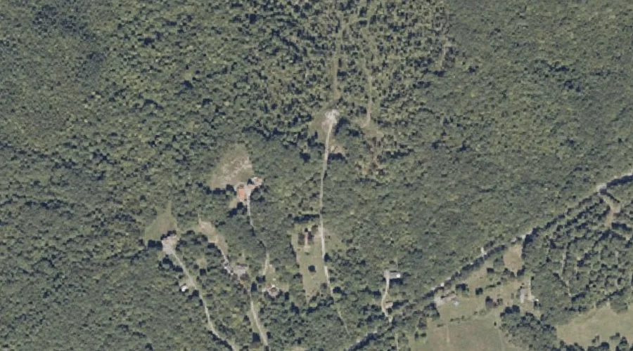
Oak Hill is a summit in Androscoggin County, Maine, located about 41.8 miles east-southeast of Chapman Inn in Bethel, Maine. It appears on the USGS Monmouth topographic quadrangle.
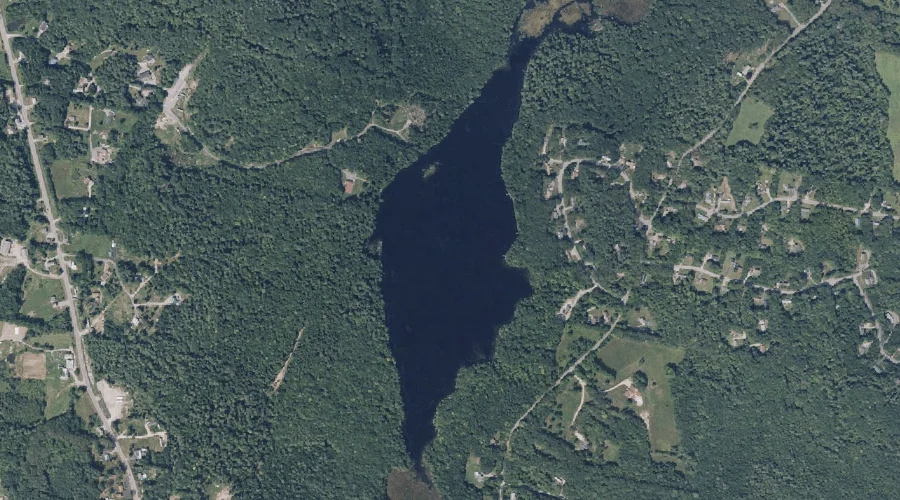
Sutherland Pond is a lake in Androscoggin County, Maine, located about 41.7 miles east-southeast of Chapman Inn in Bethel, Maine. It appears on the USGS Lisbon Falls North…
Mann Hill is a summit in Androscoggin County, Maine, located about 41.7 miles east-southeast of Chapman Inn in Bethel, Maine. It appears on the USGS Lisbon Falls North…
Libby Hill is a summit in Androscoggin County, Maine, located about 41.7 miles southeast of Chapman Inn in Bethel, Maine. It appears on the USGS North Pownal topographic…
Hodgman Hill is a summit in Androscoggin County, Maine, located about 41.5 miles east-southeast of Chapman Inn in Bethel, Maine. It appears on the USGS Monmouth topographic quadrangle.
No Name Brook is a stream in Androscoggin County, Maine, located about 41.6 miles southeast of Chapman Inn in Bethel, Maine. It appears on the USGS Lisbon Falls…
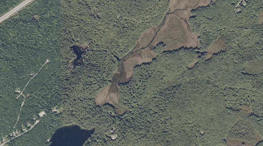
Maxwell Swamp is a swamp in Androscoggin County, Maine, located about 41.1 miles east-southeast of Chapman Inn in Bethel, Maine. It appears on the USGS Monmouth topographic quadrangle.
House Brook is a stream in Androscoggin County, Maine, located about 40.9 miles southeast of Chapman Inn in Bethel, Maine. It appears on the USGS Lewiston topographic quadrangle.