Keith Brook is a stream in Androscoggin County, Maine, located about 30.0 miles east of Chapman Inn in Bethel, Maine. It appears on the USGS Turner Center topographic…
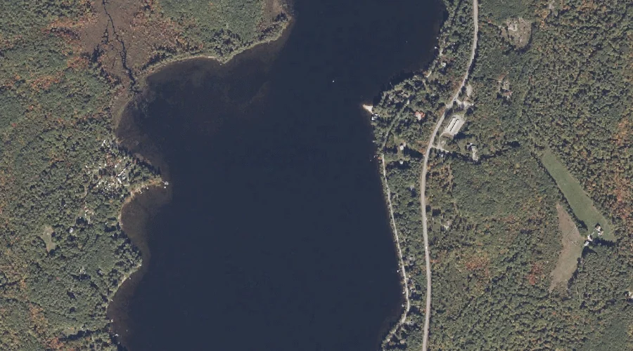
Tripp Pond is a lake in Androscoggin County, Maine, located about 30.1 miles southeast of Chapman Inn in Bethel, Maine. It appears on the USGS Mechanic Falls topographic…
Androscoggin River Reservoir is a reservoir in Androscoggin County, Maine, located about 29.9 miles east of Chapman Inn in Bethel, Maine. It appears on the USGS Livermore Falls…
Lovewell Island is a island in Androscoggin County, Maine, located about 29.9 miles east of Chapman Inn in Bethel, Maine. It appears on the USGS Turner Center topographic…
Raspberry Hill is a summit in Androscoggin County, Maine, located about 30.0 miles southeast of Chapman Inn in Bethel, Maine. It appears on the USGS Mechanic Falls topographic…
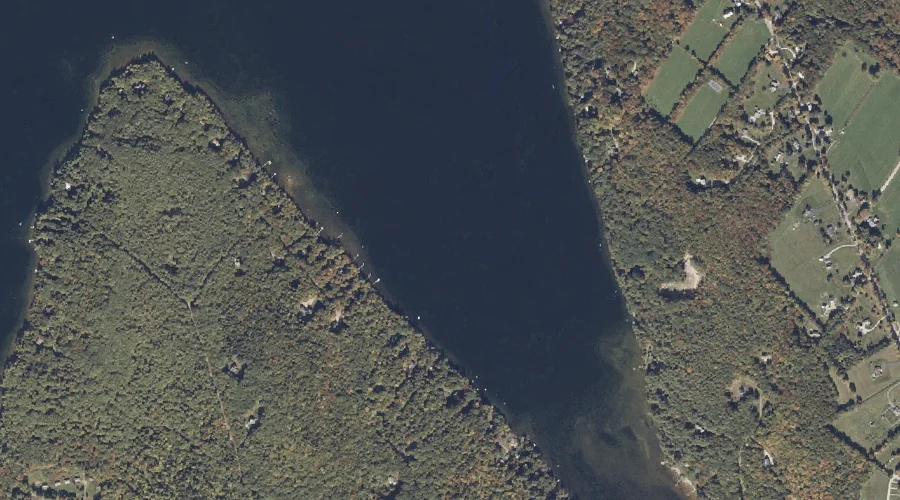
Potash Cove is a bay in Androscoggin County, Maine, located about 29.6 miles south-southeast of Chapman Inn in Bethel, Maine. It appears on the USGS Mechanic Falls topographic…
Richs Mountain is a summit in Androscoggin County, Maine, located about 29.7 miles east of Chapman Inn in Bethel, Maine. It appears on the USGS Livermore Falls topographic…
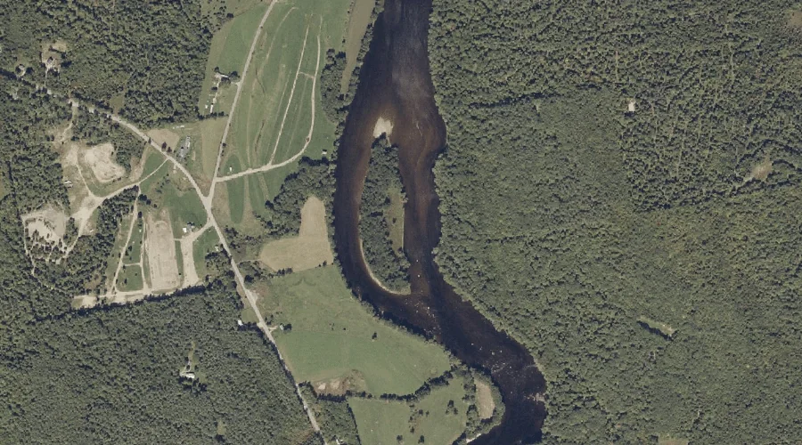
Meadow Brook is a stream in Androscoggin County, Maine, located about 29.7 miles southeast of Chapman Inn in Bethel, Maine. It appears on the USGS Mechanic Falls topographic…
Woodman Hill is a summit in Androscoggin County, Maine, located about 29.6 miles southeast of Chapman Inn in Bethel, Maine. It appears on the USGS Lake Auburn West…
Mud Pond is a lake in Androscoggin County, Maine, located about 29.4 miles southeast of Chapman Inn in Bethel, Maine. It appears on the USGS Mechanic Falls topographic…