Frog Pond is a lake in Androscoggin County, Maine, located about 28.6 miles east-southeast of Chapman Inn in Bethel, Maine. It appears on the USGS Lake Auburn West…
Black Pond is a lake in Androscoggin County, Maine, located about 28.7 miles east-southeast of Chapman Inn in Bethel, Maine. It appears on the USGS Lake Auburn West…
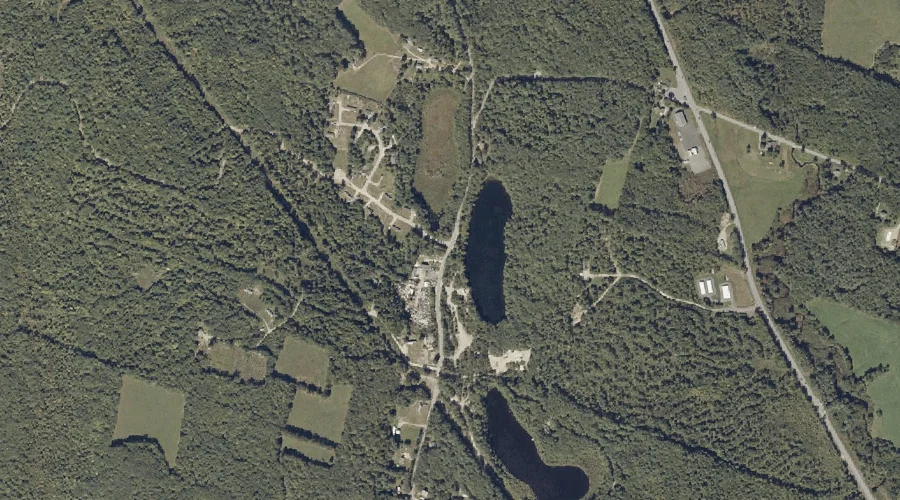
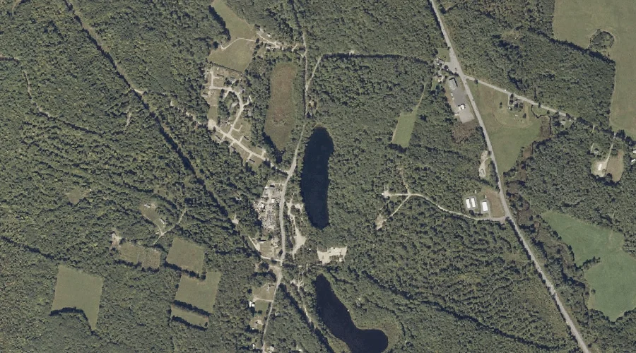
Long Pond is a lake in Androscoggin County, Maine, located about 28.8 miles east of Chapman Inn in Bethel, Maine. It appears on the USGS Livermore Falls topographic…
Bartlett Pond is a lake in Androscoggin County, Maine, located about 28.8 miles east of Chapman Inn in Bethel, Maine. It appears on the USGS Livermore Falls topographic…
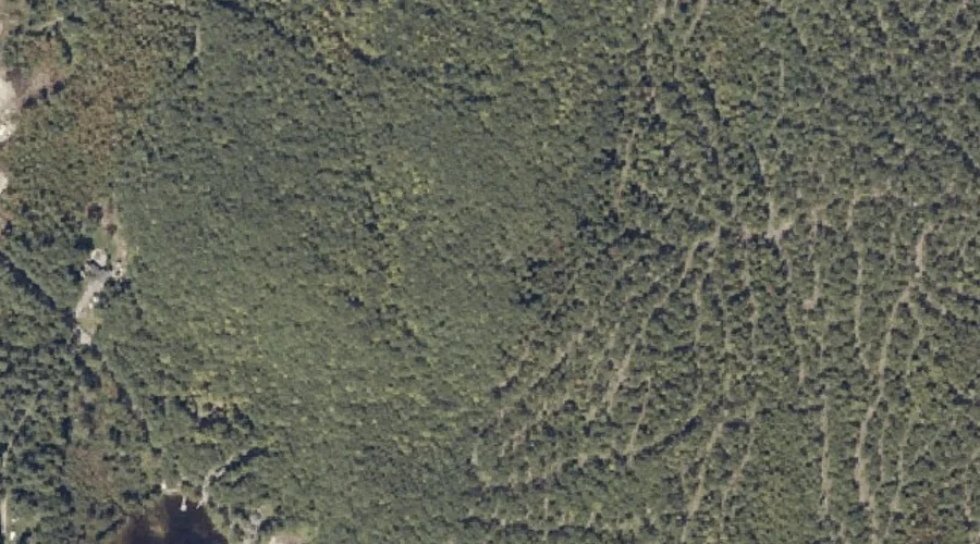
Goff Ledge is a summit in Androscoggin County, Maine, located about 28.8 miles southeast of Chapman Inn in Bethel, Maine. It appears on the USGS Lake Auburn West…
Meadow Brook is a stream in Androscoggin County, Maine, located about 28.6 miles east-southeast of Chapman Inn in Bethel, Maine. It appears on the USGS Buckfield topographic quadrangle.
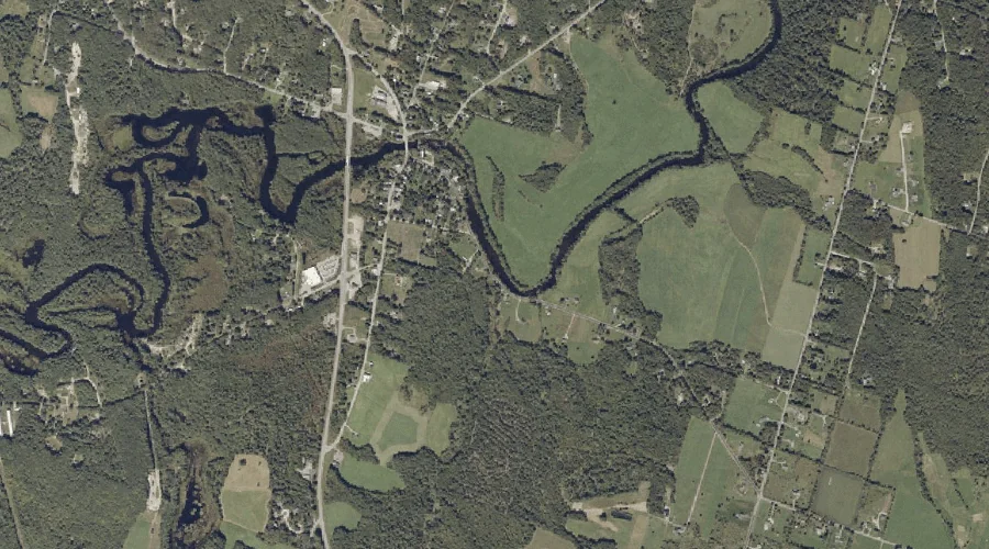
Pleasant Pond is a reservoir in Androscoggin County, Maine, located about 28.4 miles east-southeast of Chapman Inn in Bethel, Maine. It appears on the USGS Turner Center topographic…
Waterhouse Brook is a stream in Androscoggin County, Maine, located about 28.6 miles southeast of Chapman Inn in Bethel, Maine. It appears on the USGS Mechanic Falls topographic…
Round Pond is a lake in Androscoggin County, Maine, located about 28.2 miles east of Chapman Inn in Bethel, Maine. It appears on the USGS Livermore Falls topographic…
Gauthier Hill is a summit in Androscoggin County, Maine, located about 28.2 miles east-southeast of Chapman Inn in Bethel, Maine. It appears on the USGS Lake Auburn West…