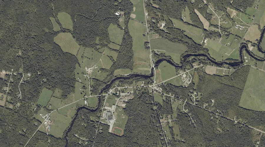
Red Brook is a stream in Androscoggin County, Maine, located about 29.4 miles east-southeast of Chapman Inn in Bethel, Maine. It appears on the USGS Turner Center topographic…
Cousins Brook is a stream in Androscoggin County, Maine, located about 29.5 miles southeast of Chapman Inn in Bethel, Maine. It appears on the USGS Mechanic Falls topographic…
Oak Hill is a summit in Androscoggin County, Maine, located about 29.3 miles east of Chapman Inn in Bethel, Maine. It appears on the USGS Livermore Falls topographic…
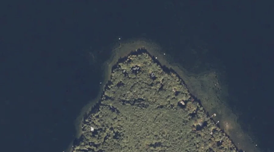
Abrams Point is a cape in Androscoggin County, Maine, located about 29.2 miles south-southeast of Chapman Inn in Bethel, Maine. It appears on the USGS Mechanic Falls topographic…
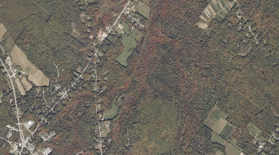
Cool Brook is a stream in Androscoggin County, Maine, located about 29.3 miles southeast of Chapman Inn in Bethel, Maine. It appears on the USGS Minot topographic quadrangle.
Death Valley is a basin in Androscoggin County, Maine, located about 29.1 miles southeast of Chapman Inn in Bethel, Maine. It appears on the USGS Lake Auburn West…
Merrill Hill is a summit in Androscoggin County, Maine, located about 29.1 miles east-southeast of Chapman Inn in Bethel, Maine. It appears on the USGS Turner Center topographic…
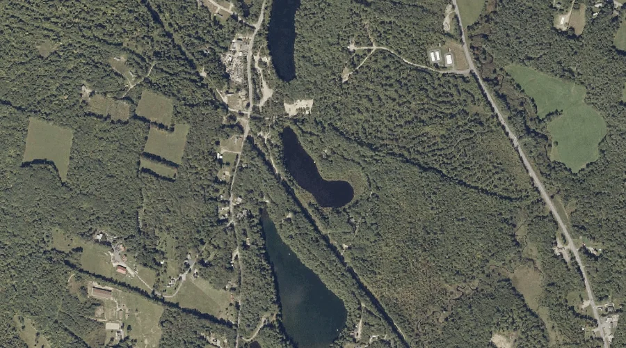
Mud Pond is a lake in Androscoggin County, Maine, located about 28.9 miles east-southeast of Chapman Inn in Bethel, Maine. It appears on the USGS Lake Auburn West…
Sandy Bottom Pond is a lake in Androscoggin County, Maine, located about 29.0 miles east-southeast of Chapman Inn in Bethel, Maine. It appears on the USGS Lake Auburn…
Bog Brook is a stream in Androscoggin County, Maine, located about 29.0 miles southeast of Chapman Inn in Bethel, Maine. It appears on the USGS Minot topographic quadrangle.