Oak Hill is a summit in Androscoggin County, Maine, located about 31.0 miles southeast of Chapman Inn in Bethel, Maine. It appears on the USGS Mechanic Falls topographic…
Morgan Brook is a stream in Androscoggin County, Maine, located about 31.1 miles southeast of Chapman Inn in Bethel, Maine. It appears on the USGS Minot topographic quadrangle.
Dillingham Hill is a summit in Androscoggin County, Maine, located about 30.8 miles east-southeast of Chapman Inn in Bethel, Maine. It appears on the USGS Lake Auburn West…
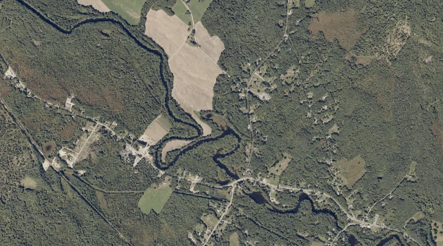
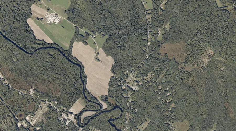
Dead River is a stream in Androscoggin County, Maine, located about 30.9 miles east of Chapman Inn in Bethel, Maine. It appears on the USGS Turner Center topographic…
Indian Brook is a stream in Androscoggin County, Maine, located about 30.9 miles southeast of Chapman Inn in Bethel, Maine. It appears on the USGS Minot topographic quadrangle.
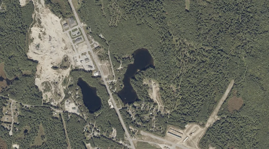
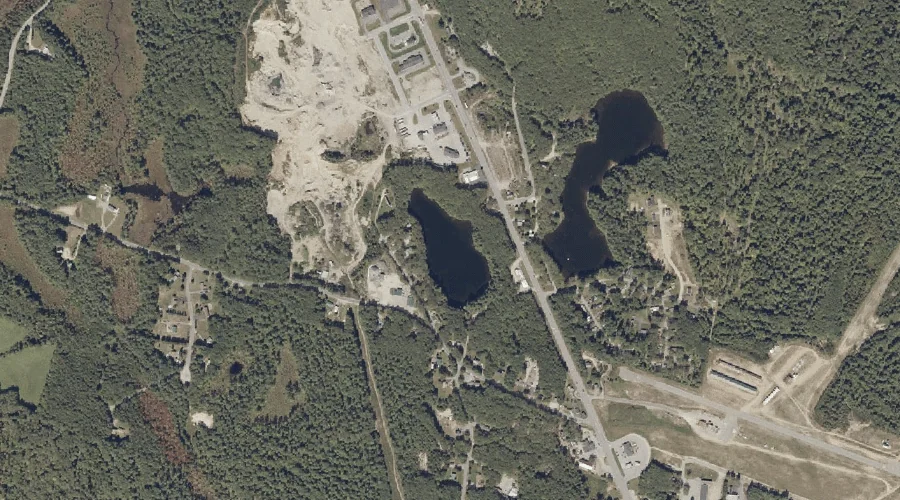
Lard Pond is a lake in Androscoggin County, Maine, located about 30.9 miles east-southeast of Chapman Inn in Bethel, Maine. It appears on the USGS Lake Auburn East…
Round Pond is a lake in Androscoggin County, Maine, located about 30.7 miles east-southeast of Chapman Inn in Bethel, Maine. It appears on the USGS Lake Auburn East…
Poplar Hill is a summit in Androscoggin County, Maine, located about 30.7 miles east-southeast of Chapman Inn in Bethel, Maine. It appears on the USGS Lake Auburn East…
Harris Hill is a summit in Androscoggin County, Maine, located about 30.7 miles southeast of Chapman Inn in Bethel, Maine. It appears on the USGS Minot topographic quadrangle.
Perkins Ridge is a ridge in Androscoggin County, Maine, located about 30.7 miles southeast of Chapman Inn in Bethel, Maine. It appears on the USGS Lake Auburn West…