 Aerial imagery: USGS National Map (public domain)
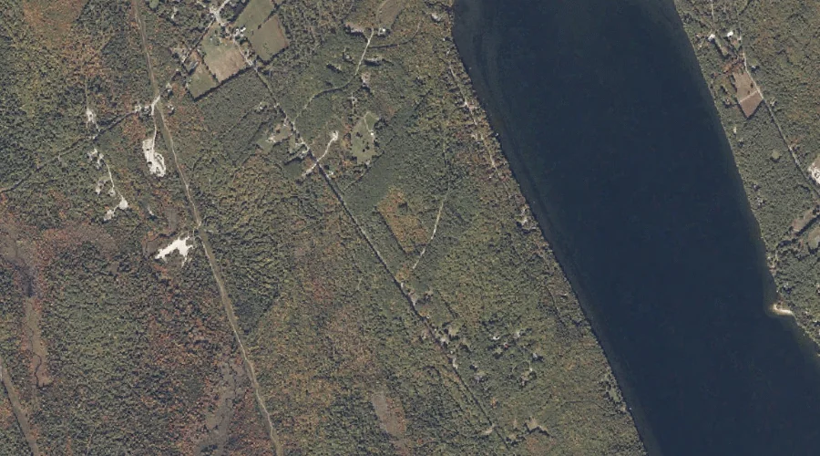
Sylvester Ridge — Ridges 27.5 Miles SSE of Chapman Inn
Oxford County, Maine · USGS Casco Quadrangle · GNIS 576628
Catalogued on the USGS Casco quadrangle in Oxford County, Maine, Sylvester Ridge — a ridge — lies 27.5 miles south-southeast of Chapman Inn.
Wikidata short description: “ridge in Oxford County, Maine, United States”
Landmark Profile
Classification & USGS reference
Catalogued under GNIS Feature ID 576628, Sylvester Ridge is recorded as a ridge on the USGS Casco quadrangle in Oxford County, Maine (FIPS 23/017). Last revised by the Board on Geographic Names on 06/16/2022.
Coordinates & physical setting
Sylvester Ridge sits at 44.04762° N, 70.54406° W (DMS 44°02′51″ N, 70°32′39″ W).
Other ridges in Oxford County, Maine
Oxford County, ME contains 11 ridges catalogued in the USGS Geographic Names Information System, counting Sylvester Ridge itself. The ones closest to Sylvester Ridge:
| Feature | USGS Quadrangle | Elevation | Distance |
|---|---|---|---|
| Poplar Ridge | Casco | — | 1.8 mi |
| Crockett Ridge | Norway | — | 13.2 mi |
| Halls Ridge | Greenwood | — | 21 mi |
| Moulton Ridge | Kezar Falls | — | 24.3 mi |
| Days Ridge | Bryant Pond | — | 27.2 mi |
| Harlow Ridge | Dixfield | — | 36.3 mi |
| Hemenway Ridge | Old Speck Mountain | — | 44.2 mi |
| Inlet Ridge | Middle Dam | — | 54.4 mi |
| Carry Ridge | Middle Dam | — | 54.9 mi |
| Daddys Ridge | Kennebago | — | 70.6 mi |
Features on the USGS Casco Quadrangle
The Casco 7.5-minute topographic quadrangle holds 46 catalogued natural features alongside Sylvester Ridge. A sampling nearest to this location:
| Feature | Type | County | Offset |
|---|---|---|---|
| Greely Brook | Streams | Oxford County, ME | 0.7 mi |
| College Swamp Brook | Streams | Oxford County, ME | 0.8 mi |
| Long Meadows | Swamps | Oxford County, ME | 0.9 mi |
| Middle Brook Bog | Swamps | Oxford County, ME | 1 mi |
| Dolly Brook | Streams | Oxford County, ME | 1 mi |
| Pleasant Lake | Lakes | Oxford County, ME | 1.2 mi |
| Poplar Ridge | Ridges | Oxford County, ME | 1.8 mi |
| Scribner Hill | Summits | Oxford County, ME | 1.8 mi |
| Nutting Ledge | Benches | Oxford County, ME | 2 mi |
| Cold Brook | Streams | Cumberland County, ME | 2 mi |
Visiting from Chapman Inn
Distance, bearing & drive time
A 47-minute drive along back roads separates the front door of Chapman Inn from Sylvester Ridge — 27.5 miles south-southeast as the crow flies, on compass bearing SSE.
Best time to visit
Accessible May through November in most years. At this latitude (44.048°), the shoulder seasons are workable — April and November can be comfortable on mild years. At 27.5 miles from the Inn, block the full day — sunrise start, late return, packed meals. Conditions at Sylvester Ridge track the nearby Greely Brook stream (0.7 mi away) closely — if that is runnable, so is this.
Nearest features to Sylvester Ridge
| Feature | Type | County | Distance |
|---|---|---|---|
| Greely Brook | Streams | Oxford County, ME | 0.7 mi |
| College Swamp Brook | Streams | Oxford County, ME | 0.8 mi |
| Long Meadows | Swamps | Oxford County, ME | 0.9 mi |
| Middle Brook Bog | Swamps | Oxford County, ME | 1 mi |
| Dolly Brook | Streams | Oxford County, ME | 1 mi |
Frequently Asked Questions
Where is Sylvester Ridge located?
Sylvester Ridge is in Oxford County, Maine, approximately 27.5 miles south-southeast of Chapman Inn in Bethel, Maine. It appears on the USGS Casco topographic quadrangle.
How far is Sylvester Ridge from Chapman Inn?
The drive runs about 47 minutes, 27.5 miles south-southeast (bearing SSE) of the Inn.
What type of natural feature is Sylvester Ridge?
The U.S. Geological Survey classifies Sylvester Ridge as a ridge, catalogued under GNIS Feature ID 576628 on the Casco quadrangle.
When is the best time to visit Sylvester Ridge?
Accessible May through November in most years.
How many other ridges are in Oxford County, Maine?
GNIS lists 10 other ridges in Oxford County, Maine.
Wikidata: Q34866588.