 Aerial imagery: USGS National Map (public domain)
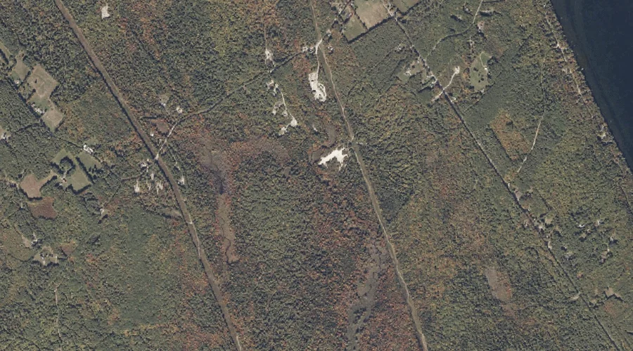
College Swamp Brook — Streams 27.3 Miles SSE of Chapman Inn
Oxford County, Maine · USGS Casco Quadrangle · GNIS 564227
Within Oxford County, Maine, on the USGS Casco quadrangle, the stream known as College Swamp Brook sits 27.3 miles south-southeast of Chapman Inn.
Landmark Profile
Classification & USGS reference
Within Oxford County, Maine, the U.S. Geological Survey lists College Swamp Brook as a stream on the Casco topographic quadrangle (FIPS 23/017), under Feature ID 564227. Last revised by the Board on Geographic Names on 02/17/2012.
Coordinates & physical setting
College Swamp Brook sits at 44.04568° N, 70.55961° W (DMS 44°02′44″ N, 70°33′35″ W).
As a linear feature its source lies near 44.10078° N, 70.57630° W (DMS 44°06′03″ N, 70°34′35″ W) — useful for anglers and paddlers tracing the upstream end.
Other streams in Oxford County, Maine
Oxford County, ME contains 296 streams catalogued in the USGS Geographic Names Information System, counting College Swamp Brook itself. The ones closest to College Swamp Brook:
| Feature | USGS Quadrangle | Distance |
|---|---|---|
| Greely Brook | Casco | 1.2 mi |
| Dolly Brook | Casco | 1.7 mi |
| Dead Hole Brook | Casco | 2.2 mi |
| Jerry Brook | Mechanic Falls | 3.1 mi |
| Sucker Brook | Casco | 3.7 mi |
| Knights Brook | Casco | 3.8 mi |
| Jackson Brook | Casco | 4.1 mi |
| Sargent Brook | Norway | 7.7 mi |
| Farnsworth Brook | Waterford Flat | 7.9 mi |
| Lombard Brook | Norway | 7.9 mi |
Features on the USGS Casco Quadrangle
The Casco 7.5-minute topographic quadrangle holds 46 catalogued natural features alongside College Swamp Brook. A sampling nearest to this location:
| Feature | Type | County | Offset |
|---|---|---|---|
| Long Meadows | Swamps | Oxford County, ME | 0.6 mi |
| Sylvester Ridge | Ridges | Oxford County, ME | 0.8 mi |
| Greely Brook | Streams | Oxford County, ME | 1.2 mi |
| Middle Brook Bog | Swamps | Oxford County, ME | 1.5 mi |
| Cold Brook | Streams | Cumberland County, ME | 1.6 mi |
| Dolly Brook | Streams | Oxford County, ME | 1.7 mi |
| Molly Gut | Other Natural Features | Cumberland County, ME | 1.7 mi |
| Pleasant Lake | Lakes | Oxford County, ME | 1.8 mi |
| Poplar Ridge | Ridges | Oxford County, ME | 1.9 mi |
| Smith Brook | Streams | Cumberland County, ME | 2.1 mi |
Visiting from Chapman Inn
Distance, bearing & drive time
Follow the compass bearing SSE out of Bethel for 27.3 miles (south-southeast) and you reach College Swamp Brook; at typical rural speeds the trip runs roughly 47 minutes.
Best time to visit
Best observed in late spring and early summer when flow is strong and banks are visible. At this latitude (44.046°), the shoulder seasons are workable — April and November can be comfortable on mild years. At 27.3 miles from the Inn, block the full day — sunrise start, late return, packed meals. Conditions at College Swamp Brook track the nearby Long Meadows swamp (0.6 mi away) closely — if that is runnable, so is this.
Nearest features to College Swamp Brook
| Feature | Type | County | Distance |
|---|---|---|---|
| Long Meadows | Swamps | Oxford County, ME | 0.6 mi |
| Sylvester Ridge | Ridges | Oxford County, ME | 0.8 mi |
| Greely Brook | Streams | Oxford County, ME | 1.2 mi |
| Middle Brook Bog | Swamps | Oxford County, ME | 1.5 mi |
| Cold Brook | Streams | Cumberland County, ME | 1.6 mi |
Frequently Asked Questions
Where is College Swamp Brook located?
College Swamp Brook is in Oxford County, Maine, approximately 27.3 miles south-southeast of Chapman Inn in Bethel, Maine. It appears on the USGS Casco topographic quadrangle.
How far is College Swamp Brook from Chapman Inn?
The drive runs about 47 minutes, 27.3 miles south-southeast (bearing SSE) of the Inn.
What type of natural feature is College Swamp Brook?
The U.S. Geological Survey classifies College Swamp Brook as a stream, catalogued under GNIS Feature ID 564227 on the Casco quadrangle.
When is the best time to visit College Swamp Brook?
Best observed in late spring and early summer when flow is strong and banks are visible.
How many other streams are in Oxford County, Maine?
GNIS lists 295 other streams in Oxford County, Maine.