 Aerial imagery: USGS National Map (public domain)
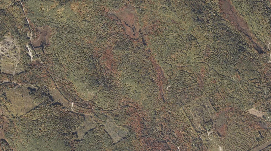
Halls Ridge — Ridges 7.7 Miles SE of Chapman Inn
Oxford County, Maine · USGS Greenwood Quadrangle · GNIS 567520
Catalogued on the USGS Greenwood quadrangle in Oxford County, Maine, Halls Ridge — a ridge — lies 7.7 miles southeast of Chapman Inn.
Wikidata short description: “ridge in Oxford County, Maine, United States”
Landmark Profile
Classification & USGS reference
Catalogued under GNIS Feature ID 567520, Halls Ridge is recorded as a ridge on the USGS Greenwood quadrangle in Oxford County, Maine (FIPS 23/017). Last revised by the Board on Geographic Names on 07/02/2022.
Coordinates & physical setting
Halls Ridge sits at 44.33992° N, 70.66252° W (DMS 44°20′24″ N, 70°39′45″ W).
Other ridges in Oxford County, Maine
Oxford County, ME contains 11 ridges catalogued in the USGS Geographic Names Information System, counting Halls Ridge itself. The ones closest to Halls Ridge:
| Feature | USGS Quadrangle | Elevation | Distance |
|---|---|---|---|
| Days Ridge | Bryant Pond | — | 6.2 mi |
| Crockett Ridge | Norway | — | 8.4 mi |
| Harlow Ridge | Dixfield | — | 18.1 mi |
| Sylvester Ridge | Casco | — | 21 mi |
| Poplar Ridge | Casco | — | 22.8 mi |
| Hemenway Ridge | Old Speck Mountain | — | 24 mi |
| Inlet Ridge | Middle Dam | — | 33.7 mi |
| Carry Ridge | Middle Dam | — | 34 mi |
| Moulton Ridge | Kezar Falls | — | 36.7 mi |
| Daddys Ridge | Kennebago | — | 49.7 mi |
Features on the USGS Greenwood Quadrangle
The Greenwood 7.5-minute topographic quadrangle holds 31 catalogued natural features alongside Halls Ridge. A sampling nearest to this location:
| Feature | Type | County | Offset |
|---|---|---|---|
| Bald Bluff | Summits | Oxford County, ME | 0.4 mi |
| Oversett Mountain | Summits | Oxford County, ME | 1 mi |
| Indian Pond | Lakes | Oxford County, ME | 1.2 mi |
| Oversett Pond | Lakes | Oxford County, ME | 1.3 mi |
| Payne Ledge | Cliffs | Oxford County, ME | 1.3 mi |
| Rowe Hill | Summits | Oxford County, ME | 1.3 mi |
| Niles Brook | Streams | Oxford County, ME | 1.5 mi |
| Twitchell Pond | Reservoirs | Oxford County, ME | 1.6 mi |
| Black Brook | Streams | Oxford County, ME | 1.8 mi |
| Elwell Mountain | Summits | Oxford County, ME | 2 mi |
Visiting from Chapman Inn
Distance, bearing & drive time
A 13-minute drive along back roads separates the front door of Chapman Inn from Halls Ridge — 7.7 miles southeast as the crow flies, on compass bearing SE.
Best time to visit
Accessible May through November in most years. At this latitude (44.340°), the shoulder seasons are workable — April and November can be comfortable on mild years. The 7.7-mile drive from Chapman Inn makes it practical for a half-day outing — you can check conditions in the morning and still turn back if the weather closes in. Conditions at Halls Ridge track the nearby Bald Bluff summit (0.4 mi away) closely — if that is runnable, so is this.
Nearest features to Halls Ridge
| Feature | Type | County | Distance |
|---|---|---|---|
| Bald Bluff | Summits | Oxford County, ME | 0.4 mi |
| Oversett Mountain | Summits | Oxford County, ME | 1 mi |
| Indian Pond | Lakes | Oxford County, ME | 1.2 mi |
| Oversett Pond | Lakes | Oxford County, ME | 1.3 mi |
| Payne Ledge | Cliffs | Oxford County, ME | 1.3 mi |
Frequently Asked Questions
Where is Halls Ridge located?
Halls Ridge is in Oxford County, Maine, approximately 7.7 miles southeast of Chapman Inn in Bethel, Maine. It appears on the USGS Greenwood topographic quadrangle.
How far is Halls Ridge from Chapman Inn?
The drive runs about 13 minutes, 7.7 miles southeast (bearing SE) of the Inn.
What type of natural feature is Halls Ridge?
The U.S. Geological Survey classifies Halls Ridge as a ridge, catalogued under GNIS Feature ID 567520 on the Greenwood quadrangle.
When is the best time to visit Halls Ridge?
Accessible May through November in most years.
How many other ridges are in Oxford County, Maine?
GNIS lists 10 other ridges in Oxford County, Maine.
Wikidata: Q34860407.