 Aerial imagery: USGS National Map (public domain)
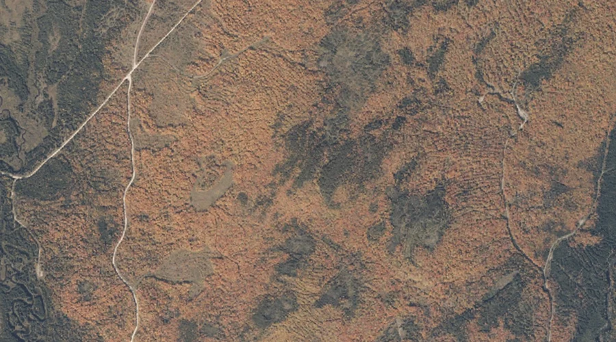
Daddys Ridge — Ridges 44.5 Miles N of Chapman Inn
Oxford County, Maine · USGS Kennebago Quadrangle · GNIS 564727
Catalogued on the USGS Kennebago quadrangle in Oxford County, Maine, Daddys Ridge — a ridge — lies 44.5 miles north of Chapman Inn.
Landmark Profile
Classification & USGS reference
Catalogued under GNIS Feature ID 564727, Daddys Ridge is recorded as a ridge on the USGS Kennebago quadrangle in Oxford County, Maine (FIPS 23/017). Last revised by the Board on Geographic Names on 06/25/2022.
Coordinates & physical setting
Daddys Ridge sits at 45.04853° N, 70.83275° W (DMS 45°02′55″ N, 70°49′58″ W).
Other ridges in Oxford County, Maine
Oxford County, ME contains 11 ridges catalogued in the USGS Geographic Names Information System, counting Daddys Ridge itself. The ones closest to Daddys Ridge:
| Feature | USGS Quadrangle | Elevation | Distance |
|---|---|---|---|
| Carry Ridge | Middle Dam | — | 19 mi |
| Inlet Ridge | Middle Dam | — | 21.2 mi |
| Hemenway Ridge | Old Speck Mountain | — | 30.9 mi |
| Harlow Ridge | Dixfield | — | 37 mi |
| Days Ridge | Bryant Pond | — | 43.5 mi |
| Halls Ridge | Greenwood | — | 49.7 mi |
| Crockett Ridge | Norway | — | 57.5 mi |
| Sylvester Ridge | Casco | — | 70.6 mi |
| Poplar Ridge | Casco | — | 72.4 mi |
| Moulton Ridge | Kezar Falls | — | 83.1 mi |
Features on the USGS Kennebago Quadrangle
The Kennebago 7.5-minute topographic quadrangle holds 17 catalogued natural features alongside Daddys Ridge. A sampling nearest to this location:
| Feature | Type | County | Offset |
|---|---|---|---|
| Beaver Brook | Streams | Oxford County, ME | 1.2 mi |
| Toothaker Brook Number One | Streams | Oxford County, ME | 1.4 mi |
| Little Falls | Waterfalls | Oxford County, ME | 1.6 mi |
| South Brook | Streams | Oxford County, ME | 1.8 mi |
| Toothaker Brook Number Two | Streams | Oxford County, ME | 2.5 mi |
| Johns Pond | Lakes | Oxford County, ME | 2.5 mi |
| Burnt Mountain | Summits | Oxford County, ME | 2.7 mi |
| Cupsuptic River | Streams | Oxford County, ME | 2.8 mi |
| Cold Brook | Streams | Oxford County, ME | 2.9 mi |
| Cloutman Pond | Lakes | Franklin County, ME | 3 mi |
Visiting from Chapman Inn
Distance, bearing & drive time
A 76-minute drive along back roads separates the front door of Chapman Inn from Daddys Ridge — 44.5 miles north as the crow flies, on compass bearing N.
Best time to visit
Accessible May through November in most years. Being this far north (lat 45.049°), first snows typically arrive by mid-October and linger into early May — narrow the window accordingly. At 44.5 miles from the Inn, block the full day — sunrise start, late return, packed meals. Conditions at Daddys Ridge track the nearby Beaver Brook stream (1.2 mi away) closely — if that is runnable, so is this.
Nearest features to Daddys Ridge
| Feature | Type | County | Distance |
|---|---|---|---|
| Beaver Brook | Streams | Oxford County, ME | 1.2 mi |
| Toothaker Brook Number One | Streams | Oxford County, ME | 1.4 mi |
| Little Falls | Waterfalls | Oxford County, ME | 1.6 mi |
| South Brook | Streams | Oxford County, ME | 1.8 mi |
| Fox Pond | Lakes | Oxford County, ME | 2.4 mi |
Frequently Asked Questions
Where is Daddys Ridge located?
Daddys Ridge is in Oxford County, Maine, approximately 44.5 miles north of Chapman Inn in Bethel, Maine. It appears on the USGS Kennebago topographic quadrangle.
How far is Daddys Ridge from Chapman Inn?
The drive runs about 76 minutes, 44.5 miles north (bearing N) of the Inn.
What type of natural feature is Daddys Ridge?
The U.S. Geological Survey classifies Daddys Ridge as a ridge, catalogued under GNIS Feature ID 564727 on the Kennebago quadrangle.
When is the best time to visit Daddys Ridge?
Accessible May through November in most years.
How many other ridges are in Oxford County, Maine?
GNIS lists 10 other ridges in Oxford County, Maine.