 Aerial imagery: USGS National Map (public domain)
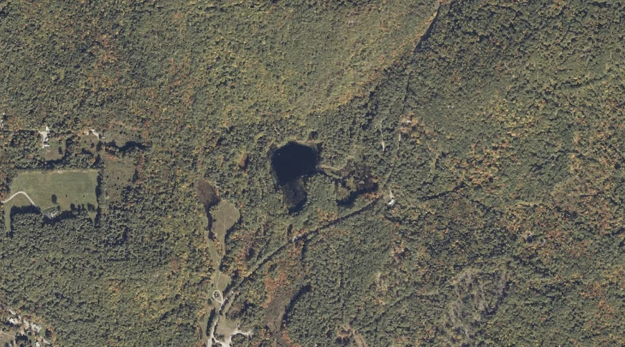
Jaybird Pond — Lakes 38.3 Miles S of Chapman Inn
Oxford County, Maine · USGS Kezar Falls Quadrangle · GNIS 568781
Within Oxford County, Maine, on the USGS Kezar Falls quadrangle, the lake known as Jaybird Pond sits 38.3 miles south of Chapman Inn.
Landmark Profile
Classification & USGS reference
Within Oxford County, Maine, the U.S. Geological Survey lists Jaybird Pond as a lake on the Kezar Falls topographic quadrangle (FIPS 23/017), under Feature ID 568781. Last revised by the Board on Geographic Names on 05/15/2018.
Coordinates & physical setting
Jaybird Pond sits at 43.85483° N, 70.89237° W (DMS 43°51′17″ N, 70°53′33″ W).
Other lakes in Oxford County, Maine
Oxford County, ME contains 157 lakes catalogued in the USGS Geographic Names Information System, counting Jaybird Pond itself. The ones closest to Jaybird Pond:
| Feature | USGS Quadrangle | Distance |
|---|---|---|
| Trafton Pond | Kezar Falls | 0.6 mi |
| Little Clemons Pond | Kezar Falls | 0.8 mi |
| Chapman Pond | Kezar Falls | 1.4 mi |
| Clemons Pond | Brownfield | 1.6 mi |
| Spectacle Ponds | Kezar Falls | 2.4 mi |
| Dyer Pond | Brownfield | 2.8 mi |
| Tenmile Pond | Hiram | 4.3 mi |
| Bryant Pond | Hiram | 4.6 mi |
| Chalk Pond | Kezar Falls | 4.8 mi |
| Hubbard Pond | Kezar Falls | 4.8 mi |
Features on the USGS Kezar Falls Quadrangle
The Kezar Falls 7.5-minute topographic quadrangle holds 32 catalogued natural features alongside Jaybird Pond. A sampling nearest to this location:
| Feature | Type | County | Offset |
|---|---|---|---|
| Trafton Pond | Lakes | Oxford County, ME | 0.6 mi |
| Little Clemons Pond | Lakes | Oxford County, ME | 0.8 mi |
| Fork Hill | Summits | Oxford County, ME | 1.2 mi |
| Stanley Pond | Reservoirs | Oxford County, ME | 1.3 mi |
| Chapman Pond | Lakes | Oxford County, ME | 1.4 mi |
| Rattlesnake Mountain | Summits | Oxford County, ME | 1.6 mi |
| Black Lake | Reservoirs | Oxford County, ME | 2.1 mi |
| Stacy Hill | Summits | Oxford County, ME | 2.1 mi |
| Spectacle Ponds | Lakes | Oxford County, ME | 2.4 mi |
| Devils Den | Summits | Oxford County, ME | 2.6 mi |
Visiting from Chapman Inn
Distance, bearing & drive time
Follow the compass bearing S out of Bethel for 38.3 miles (south) and you reach Jaybird Pond; at typical rural speeds the trip runs roughly 66 minutes.
Best time to visit
June through September for paddling and swimming; January through March for ice fishing. At this latitude (43.855°), the shoulder seasons are workable — April and November can be comfortable on mild years. At 38.3 miles from the Inn, block the full day — sunrise start, late return, packed meals. Conditions at Jaybird Pond track the nearby Trafton Pond lake (0.6 mi away) closely — if that is runnable, so is this.
Nearest features to Jaybird Pond
| Feature | Type | County | Distance |
|---|---|---|---|
| Trafton Pond | Lakes | Oxford County, ME | 0.6 mi |
| Little Clemons Pond | Lakes | Oxford County, ME | 0.8 mi |
| Fork Hill | Summits | Oxford County, ME | 1.2 mi |
| Stanley Pond | Reservoirs | Oxford County, ME | 1.3 mi |
| Chapman Pond | Lakes | Oxford County, ME | 1.4 mi |
Frequently Asked Questions
Where is Jaybird Pond located?
Jaybird Pond is in Oxford County, Maine, approximately 38.3 miles south of Chapman Inn in Bethel, Maine. It appears on the USGS Kezar Falls topographic quadrangle.
How far is Jaybird Pond from Chapman Inn?
The drive runs about 66 minutes, 38.3 miles south (bearing S) of the Inn.
What type of natural feature is Jaybird Pond?
The U.S. Geological Survey classifies Jaybird Pond as a lake, catalogued under GNIS Feature ID 568781 on the Kezar Falls quadrangle.
When is the best time to visit Jaybird Pond?
June through September for paddling and swimming; January through March for ice fishing.
How many other lakes are in Oxford County, Maine?
GNIS lists 156 other lakes in Oxford County, Maine.