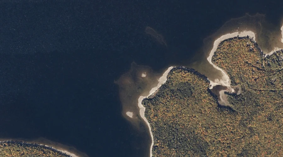
Beaver Pond is a lake in Oxford County, Maine, located about 34.7 miles north-northwest of Chapman Inn in Bethel, Maine. It appears on the USGS Richardson Pond topographic…
Tear Cap is a summit in Oxford County, Maine, located about 34.8 miles south of Chapman Inn in Bethel, Maine. It appears on the USGS Hiram topographic quadrangle.
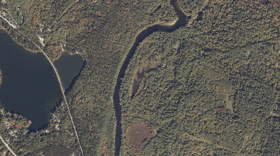
Quint Brook is a stream in Oxford County, Maine, located about 34.8 miles south-southwest of Chapman Inn in Bethel, Maine. It appears on the USGS Brownfield topographic quadrangle.
Beaver Island is a island in Oxford County, Maine, located about 34.7 miles north of Chapman Inn in Bethel, Maine. It appears on the USGS Richardson Pond topographic…
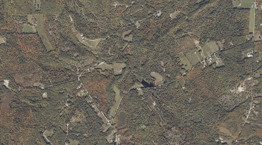
Burnt Meadow Mountains is a summit in Oxford County, Maine, located about 34.7 miles south of Chapman Inn in Bethel, Maine. It appears on the USGS Brownfield topographic…
Stone Mountain is a summit in Oxford County, Maine, located about 34.7 miles south of Chapman Inn in Bethel, Maine. It appears on the USGS Brownfield topographic quadrangle.
Big Beaver Island is a island in Oxford County, Maine, located about 34.3 miles north of Chapman Inn in Bethel, Maine. It appears on the USGS Richardson Pond…
Mooselookmeguntic Lake is a reservoir in Oxford County, Maine, located about 34.4 miles north of Chapman Inn in Bethel, Maine. It appears on the USGS Oquossoc topographic quadrangle.
Burbank Pond is a lake in Oxford County, Maine, located about 34.2 miles south of Chapman Inn in Bethel, Maine. It appears on the USGS Hiram topographic quadrangle.
Kezar Hill is a summit in Oxford County, Maine, located about 34.0 miles south of Chapman Inn in Bethel, Maine. It appears on the USGS Hiram topographic quadrangle.