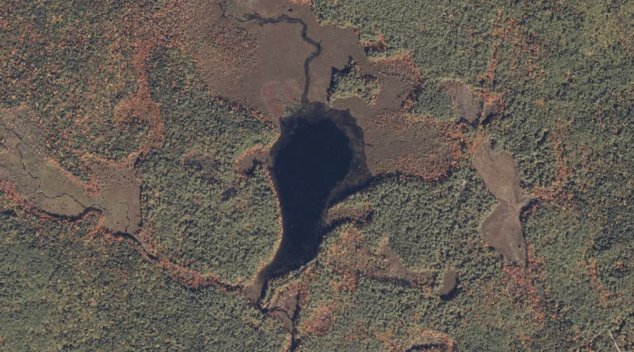
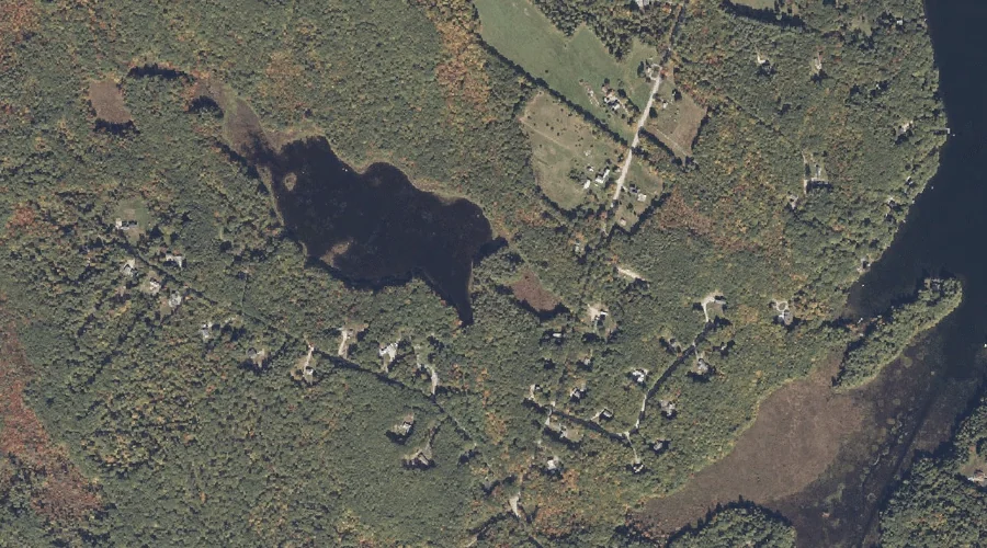
Middle Pond is a lake in Oxford County, Maine, located about 33.6 miles south of Chapman Inn in Bethel, Maine. It appears on the USGS Hiram topographic quadrangle.
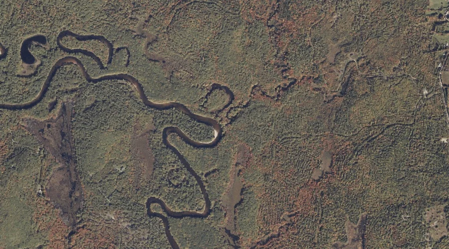
Durgin Brook is a stream in Oxford County, Maine, located about 33.6 miles south of Chapman Inn in Bethel, Maine. It appears on the USGS Brownfield topographic quadrangle.
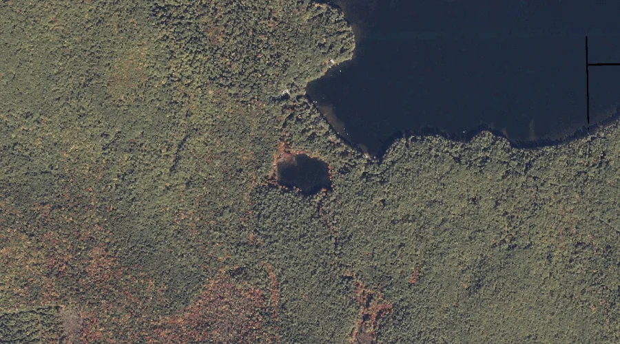
Black Point is a cape in Oxford County, Maine, located about 33.3 miles north of Chapman Inn in Bethel, Maine. It appears on the USGS Oquossoc topographic quadrangle.
Bigelow Pond is a lake in Oxford County, Maine, located about 32.9 miles north-northwest of Chapman Inn in Bethel, Maine. It appears on the USGS Middle Dam topographic…
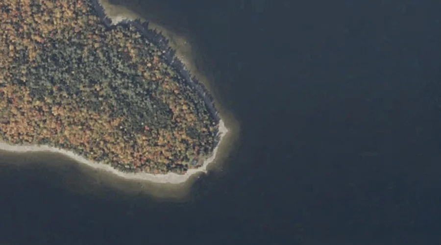
Dollar Island is a island in Oxford County, Maine, located about 32.9 miles north of Chapman Inn in Bethel, Maine. It appears on the USGS Oquossoc topographic quadrangle.
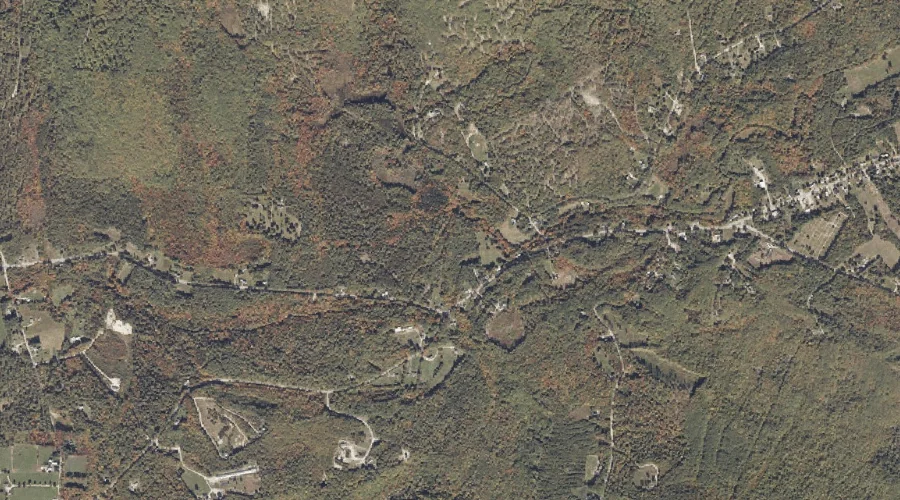
Middle Range Pond is a reservoir in Oxford County, Maine, located about 33.0 miles southeast of Chapman Inn in Bethel, Maine. It appears on the USGS Mechanic Falls…
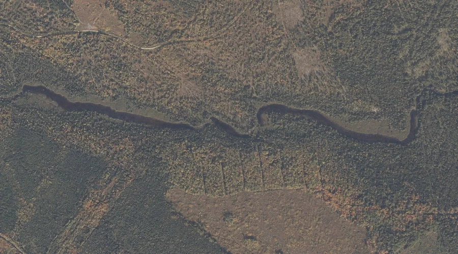
Moose Pond Brook is a stream in Oxford County, Maine, located about 33.0 miles south of Chapman Inn in Bethel, Maine. It appears on the USGS Hiram topographic…
Billy Brook is a stream in Oxford County, Maine, located about 33.0 miles south-southwest of Chapman Inn in Bethel, Maine. It appears on the USGS Brownfield topographic quadrangle.
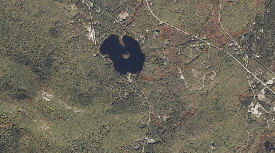
Skunk Pond is a lake in Oxford County, Maine, located about 32.7 miles north-northwest of Chapman Inn in Bethel, Maine. It appears on the USGS Middle Dam topographic…
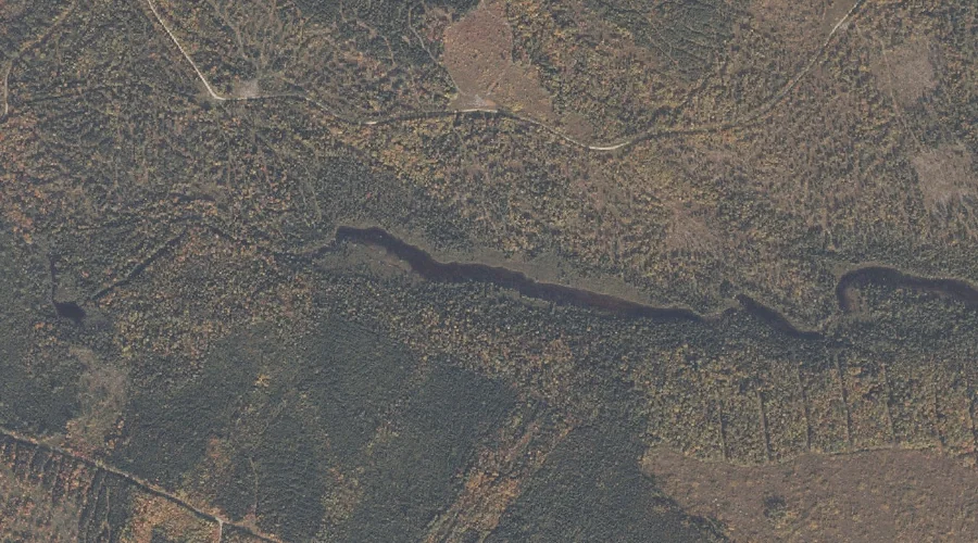
Mud Pond is a lake in Oxford County, Maine, located about 32.8 miles south of Chapman Inn in Bethel, Maine. It appears on the USGS Hiram topographic quadrangle.