 Aerial imagery: USGS National Map (public domain)
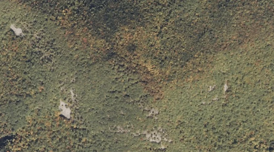
Burnt Meadow Mountains — Summits 34.7 Miles S of Chapman Inn
Oxford County, Maine · USGS Brownfield Quadrangle · GNIS 563259
34.7 miles south of Chapman Inn, on the USGS Brownfield topographic quadrangle, Burnt Meadow Mountains is a summit recorded in Oxford County, Maine by the federal Geographic Names Information System.
Landmark Profile
Classification & USGS reference
The USGS Brownfield 7.5-minute topographic quadrangle places Burnt Meadow Mountains in Oxford County, Maine (FIPS 23/017), classified as a summit in the federal GNIS (Feature ID 563259). Last revised by the Board on Geographic Names on 02/15/2025.
Coordinates & physical setting
Burnt Meadow Mountains sits at 43.91038° N, 70.90889° W (DMS 43°54′37″ N, 70°54′32″ W).
Other summits in Oxford County, Maine
Oxford County, ME contains 438 summits catalogued in the USGS Geographic Names Information System, counting Burnt Meadow Mountains itself. The ones closest to Burnt Meadow Mountains:
| Feature | USGS Quadrangle | Elevation | Distance |
|---|---|---|---|
| Stone Mountain | Brownfield | — | 0 mi |
| Kezar Hill | Hiram | — | 1.9 mi |
| Oak Hill | Hiram | — | 2.1 mi |
| Sugarloaf | Brownfield | — | 2.3 mi |
| Pine Hill | Brownfield | — | 2.6 mi |
| Frost Mountain | Brownfield | — | 3 mi |
| Peary Mountain | Brownfield | — | 3.3 mi |
| Rattlesnake Mountain | Kezar Falls | — | 3.6 mi |
| Tibbetts Mountain | Brownfield | — | 3.6 mi |
| Devils Den | Kezar Falls | — | 3.7 mi |
Features on the USGS Brownfield Quadrangle
The Brownfield 7.5-minute topographic quadrangle holds 31 catalogued natural features alongside Burnt Meadow Mountains. A sampling nearest to this location:
| Feature | Type | County | Offset |
|---|---|---|---|
| Stone Mountain | Summits | Oxford County, ME | 0 mi |
| Dyer Pond | Lakes | Oxford County, ME | 1.2 mi |
| Durgin Brook | Streams | Oxford County, ME | 1.5 mi |
| Burnt Meadow Pond | Reservoirs | Oxford County, ME | 1.5 mi |
| Billy Brook | Streams | Oxford County, ME | 2 mi |
| Sugarloaf | Summits | Oxford County, ME | 2.3 mi |
| Pine Hill | Summits | Oxford County, ME | 2.6 mi |
| West Branch Tenmile River | Streams | Oxford County, ME | 2.6 mi |
| Clemons Pond | Lakes | Oxford County, ME | 2.8 mi |
| Frost Mountain | Summits | Oxford County, ME | 3 mi |
Visiting from Chapman Inn
Distance, bearing & drive time
Chapman Inn sits 34.7 miles south (bearing S) of Burnt Meadow Mountains. At moderate back-road speeds the drive runs about 59 minutes — comfortably inside a half-day outing window after breakfast.
Best time to visit
Accessible May through November in most years. At this latitude (43.910°), the shoulder seasons are workable — April and November can be comfortable on mild years. At 34.7 miles from the Inn, block the full day — sunrise start, late return, packed meals. Conditions at Burnt Meadow Mountains track the nearby Stone Mountain summit (essentially adjacent) closely — if that is runnable, so is this.
Nearest features to Burnt Meadow Mountains
| Feature | Type | County | Distance |
|---|---|---|---|
| Stone Mountain | Summits | Oxford County, ME | 0 mi |
| Dyer Pond | Lakes | Oxford County, ME | 1.2 mi |
| Durgin Brook | Streams | Oxford County, ME | 1.5 mi |
| Burnt Meadow Pond | Reservoirs | Oxford County, ME | 1.5 mi |
| Kezar Hill | Summits | Oxford County, ME | 1.9 mi |
Frequently Asked Questions
Where is Burnt Meadow Mountains located?
Burnt Meadow Mountains is in Oxford County, Maine, approximately 34.7 miles south of Chapman Inn in Bethel, Maine. It appears on the USGS Brownfield topographic quadrangle.
How far is Burnt Meadow Mountains from Chapman Inn?
The drive runs about 59 minutes, 34.7 miles south (bearing S) of the Inn.
What type of natural feature is Burnt Meadow Mountains?
The U.S. Geological Survey classifies Burnt Meadow Mountains as a summit, catalogued under GNIS Feature ID 563259 on the Brownfield quadrangle.
When is the best time to visit Burnt Meadow Mountains?
Accessible May through November in most years.
How many other summits are in Oxford County, Maine?
GNIS lists 437 other summits in Oxford County, Maine.