Brandy Point is a cape in Oxford County, Maine, located about 34.0 miles north of Chapman Inn in Bethel, Maine. It appears on the USGS Oquossoc topographic quadrangle.
Tenmile Pond is a lake in Oxford County, Maine, located about 34.1 miles south of Chapman Inn in Bethel, Maine. It appears on the USGS Hiram topographic quadrangle.
Students Island is a island in Oxford County, Maine, located about 33.8 miles north of Chapman Inn in Bethel, Maine. It appears on the USGS Oquossoc topographic quadrangle.
Sandy Cove is a bay in Oxford County, Maine, located about 34.0 miles north of Chapman Inn in Bethel, Maine. It appears on the USGS Oquossoc topographic quadrangle.
West Arm Upper Richardson Lake is a bay in Oxford County, Maine, located about 33.6 miles north of Chapman Inn in Bethel, Maine. It appears on the USGS…
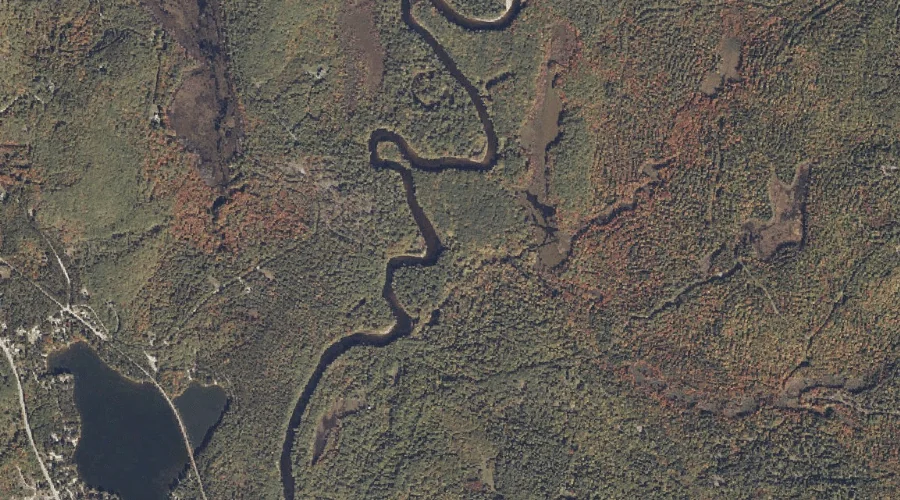
Dragon Meadow Brook is a stream in Oxford County, Maine, located about 33.7 miles south of Chapman Inn in Bethel, Maine. It appears on the USGS Hiram topographic…
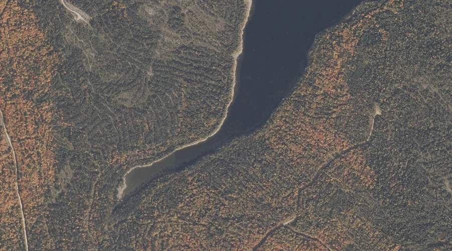
Sturtevant Pond is a lake in Oxford County, Maine, located about 33.8 miles north-northwest of Chapman Inn in Bethel, Maine. It appears on the USGS Umbagog Lake North…
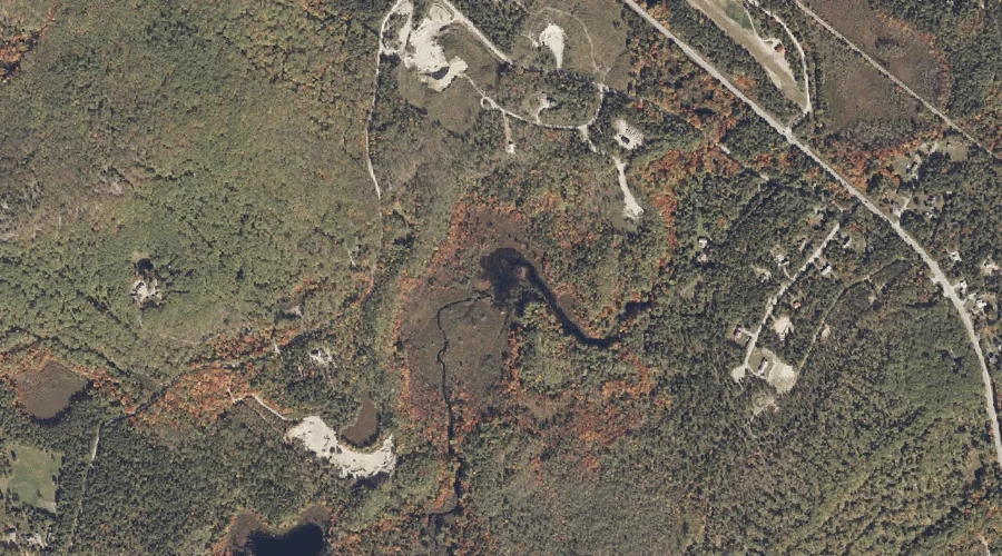
Burnt Meadow Pond is a reservoir in Oxford County, Maine, located about 33.5 miles south of Chapman Inn in Bethel, Maine. It appears on the USGS Brownfield topographic…
Oak Hill is a summit in Oxford County, Maine, located about 33.6 miles south of Chapman Inn in Bethel, Maine. It appears on the USGS Hiram topographic quadrangle.
Round Mountain is a summit in Oxford County, Maine, located about 33.6 miles north-northwest of Chapman Inn in Bethel, Maine. It appears on the USGS Richardson Pond topographic…