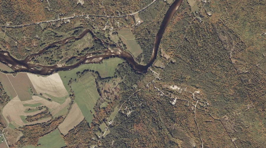
Whites Brook is a stream in Oxford County, Maine, located about 6.7 miles west of Chapman Inn in Bethel, Maine. It appears on the USGS Gilead topographic quadrangle.
Twitchell Pond is a reservoir in Oxford County, Maine, located about 6.2 miles east-southeast of Chapman Inn in Bethel, Maine. It appears on the USGS Greenwood topographic quadrangle.
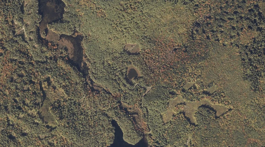
Bell Mountain is a summit in Oxford County, Maine, located about 6.8 miles south of Chapman Inn in Bethel, Maine. It appears on the USGS East Stoneham topographic…
Waterfowl Marsh is a swamp in Oxford County, Maine, located about 6.2 miles south-southwest of Chapman Inn in Bethel, Maine. It appears on the USGS East Stoneham topographic…
Sunken Pond is a lake in Oxford County, Maine, located about 6.2 miles south-southwest of Chapman Inn in Bethel, Maine. It appears on the USGS East Stoneham topographic…
Wilbur Mountain is a summit in Oxford County, Maine, located about 6.3 miles east-northeast of Chapman Inn in Bethel, Maine. It appears on the USGS Bryant Pond topographic…
Tyler Mountain is a summit in Oxford County, Maine, located about 6.4 miles west-southwest of Chapman Inn in Bethel, Maine. It appears on the USGS Speckled Mountain topographic…
Otter Brook is a stream in Oxford County, Maine, located about 6.6 miles northeast of Chapman Inn in Bethel, Maine. It appears on the USGS Bryant Pond topographic…
Payne Ledge is a cliff face in Oxford County, Maine, located about 6.6 miles east-southeast of Chapman Inn in Bethel, Maine. It appears on the USGS Greenwood topographic…