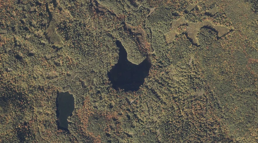
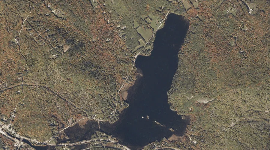
Broken Bridge Pond is a lake in Oxford County, Maine, located about 6.6 miles south-southwest of Chapman Inn in Bethel, Maine. It appears on the USGS East Stoneham…
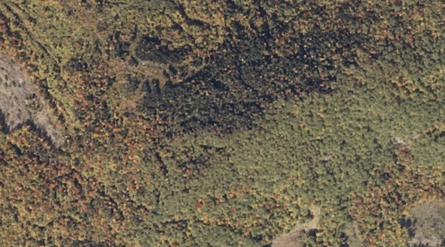
Round Mountain is a summit in Oxford County, Maine, located about 6.6 miles south-southeast of Chapman Inn in Bethel, Maine. It appears on the USGS Greenwood topographic quadrangle.
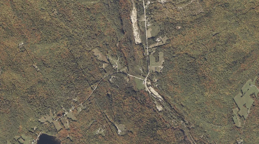
Billings Hill Brook is a stream in Oxford County, Maine, located about 6.7 miles east-northeast of Chapman Inn in Bethel, Maine. It appears on the USGS Bryant Pond…
Meadow Brook is a stream in Oxford County, Maine, located about 6.7 miles east-northeast of Chapman Inn in Bethel, Maine. It appears on the USGS Bryant Pond topographic…
Elwell Mountain is a summit in Oxford County, Maine, located about 5.9 miles southeast of Chapman Inn in Bethel, Maine. It appears on the USGS Greenwood topographic quadrangle.
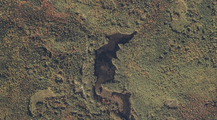
Patte Brook Waterfowl Impoundment Reservoir is a reservoir in Oxford County, Maine, located about 5.9 miles south-southwest of Chapman Inn in Bethel, Maine. It appears on the USGS…
Oak Hill is a summit in Oxford County, Maine, located about 6.1 miles east-southeast of Chapman Inn in Bethel, Maine. It appears on the USGS Bryant Pond topographic…
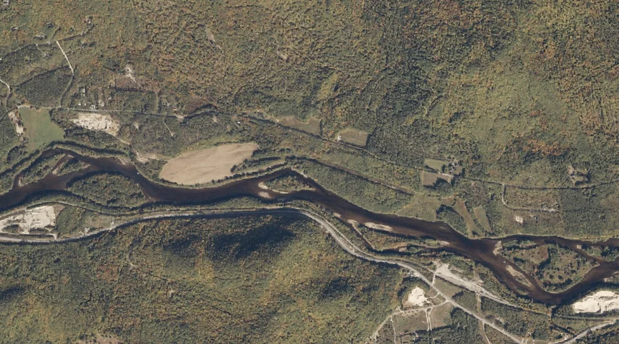
Chapman Brook is a stream in Oxford County, Maine, located about 5.3 miles west of Chapman Inn in Bethel, Maine. It appears on the USGS Gilead topographic quadrangle.
McCrillian Brook is a stream in Oxford County, Maine, located about 5.4 miles east of Chapman Inn in Bethel, Maine. It appears on the USGS Bryant Pond topographic…
Peaked Hill is a summit in Oxford County, Maine, located about 5.5 miles west of Chapman Inn in Bethel, Maine. It appears on the USGS Gilead topographic quadrangle.