Tyler Notch is a mountain gap in Oxford County, Maine, located about 6.9 miles west-southwest of Chapman Inn in Bethel, Maine. It appears on the USGS Speckled Mountain…
Uncle Tom Mountain is a summit in Oxford County, Maine, located about 6.9 miles southeast of Chapman Inn in Bethel, Maine. It appears on the USGS Greenwood topographic…
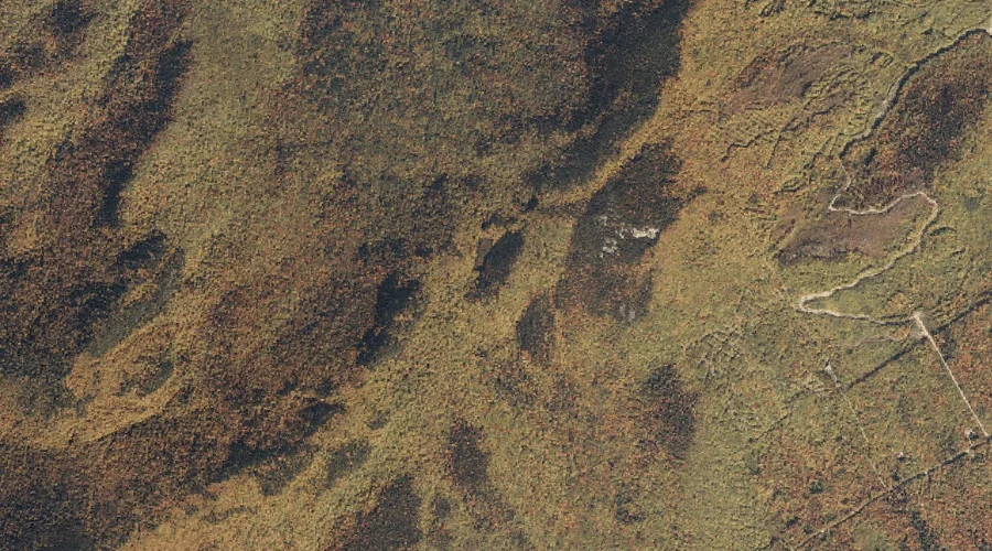
Black Mountain is a summit in Oxford County, Maine, located about 6.9 miles west-northwest of Chapman Inn in Bethel, Maine. It appears on the USGS Gilead topographic quadrangle.
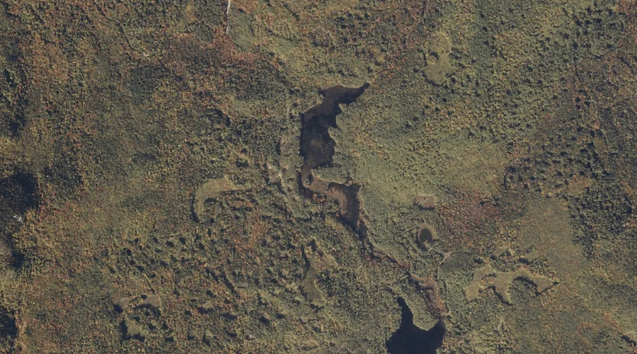
Bog Brook is a stream in Oxford County, Maine, located about 7.0 miles west of Chapman Inn in Bethel, Maine. It appears on the USGS Gilead topographic quadrangle.
Simons Brook is a stream in Oxford County, Maine, located about 7.0 miles north-northwest of Chapman Inn in Bethel, Maine. It appears on the USGS Bethel topographic quadrangle.
Mount Christopher is a summit in Oxford County, Maine, located about 7.0 miles east-southeast of Chapman Inn in Bethel, Maine. It appears on the USGS Greenwood topographic quadrangle.
Wheeler Mountain is a summit in Oxford County, Maine, located about 6.7 miles west-northwest of Chapman Inn in Bethel, Maine. It appears on the USGS Gilead topographic quadrangle.
Rowe Hill is a summit in Oxford County, Maine, located about 6.7 miles east-southeast of Chapman Inn in Bethel, Maine. It appears on the USGS Greenwood topographic quadrangle.
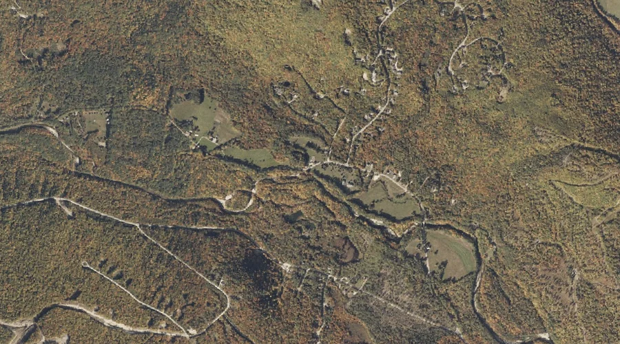
Moody Mountain is a summit in Oxford County, Maine, located about 6.7 miles east of Chapman Inn in Bethel, Maine. It appears on the USGS Bryant Pond topographic…
New England Brook is a stream in Oxford County, Maine, located about 6.1 miles south-southwest of Chapman Inn in Bethel, Maine. It appears on the USGS East Stoneham…