Wheeler Brook is a stream in Oxford County, Maine, located about 7.1 miles west of Chapman Inn in Bethel, Maine. It appears on the USGS Gilead topographic quadrangle.
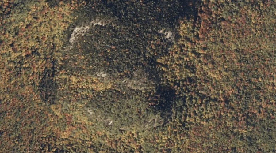
Howard Mountain is a summit in Oxford County, Maine, located about 7.3 miles north-northeast of Chapman Inn in Bethel, Maine. It appears on the USGS Bryant Pond topographic…
Barkers Brook is a stream in Oxford County, Maine, located about 7.3 miles south of Chapman Inn in Bethel, Maine. It appears on the USGS East Stoneham topographic…
Farwell Mountain is a summit in Oxford County, Maine, located about 6.8 miles south-southwest of Chapman Inn in Bethel, Maine. It appears on the USGS East Stoneham topographic…
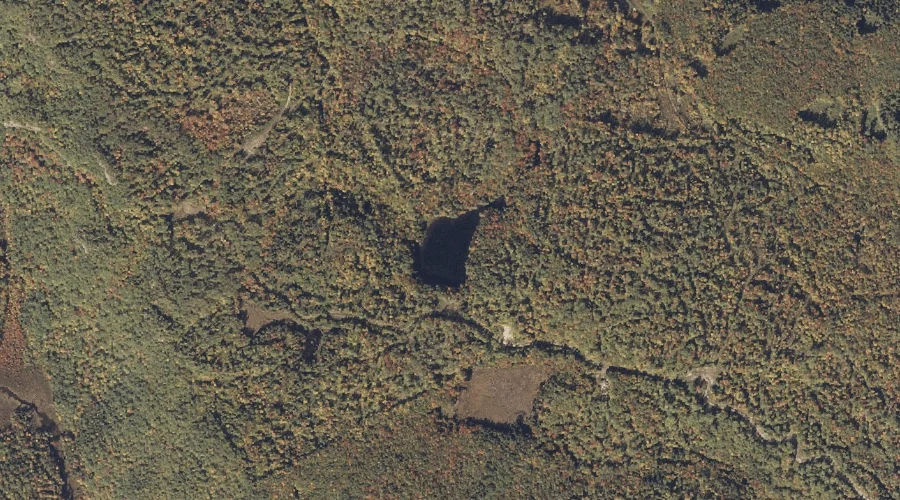
Mosquito Pond is a lake in Oxford County, Maine, located about 7.3 miles south of Chapman Inn in Bethel, Maine. It appears on the USGS East Stoneham topographic…
Merrill Hill is a summit in Oxford County, Maine, located about 6.8 miles northwest of Chapman Inn in Bethel, Maine. It appears on the USGS Gilead topographic quadrangle.
Peter Mountain is a summit in Oxford County, Maine, located about 7.4 miles south-southwest of Chapman Inn in Bethel, Maine. It appears on the USGS East Stoneham topographic…
Bean Mountain is a summit in Oxford County, Maine, located about 6.9 miles north-northeast of Chapman Inn in Bethel, Maine. It appears on the USGS Puzzle Mountain topographic…
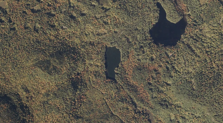
Crocker Pond is a lake in Oxford County, Maine, located about 6.9 miles south-southwest of Chapman Inn in Bethel, Maine. It appears on the USGS East Stoneham topographic…
Pebley Mountain is a summit in Oxford County, Maine, located about 6.9 miles east-northeast of Chapman Inn in Bethel, Maine. It appears on the USGS Bryant Pond topographic…