 Aerial imagery: USGS National Map (public domain)
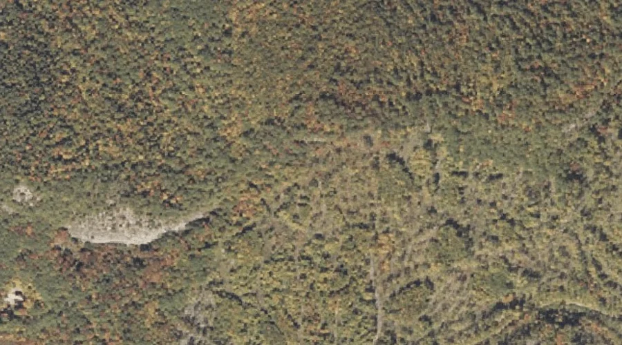
Bucks Ledge — Cliffs 6.2 Miles E of Chapman Inn
Oxford County, Maine · USGS Bryant Pond Quadrangle · GNIS 563127
6.2 miles east of Chapman Inn, on the USGS Bryant Pond topographic quadrangle, Bucks Ledge is a cliff face recorded in Oxford County, Maine by the federal Geographic Names Information System.
Wikidata short description: “cliff in Oxford County, Maine, United States”
Landmark Profile
Classification & USGS reference
The USGS Bryant Pond 7.5-minute topographic quadrangle places Bucks Ledge in Oxford County, Maine (FIPS 23/017), classified as a cliff face in the federal GNIS (Feature ID 563127). Catalogued in GNIS since 09/30/1980.
Coordinates & physical setting
Bucks Ledge sits at 44.40507° N, 70.66284° W (DMS 44°24′18″ N, 70°39′46″ W).
Other cliffs in Oxford County, Maine
Oxford County, ME contains 11 cliffs catalogued in the USGS Geographic Names Information System, counting Bucks Ledge itself. The ones closest to Bucks Ledge:
| Feature | USGS Quadrangle | Distance |
|---|---|---|
| Goss Ledge | Bryant Pond | 2.5 mi |
| Payne Ledge | Greenwood | 3.4 mi |
| Berry Ledge | West Paris | 6.9 mi |
| Shaw Ledge | West Paris | 7.8 mi |
| Browns Ledge | East Stoneham | 9.4 mi |
| Whittemore Bluff | Dixfield | 14.3 mi |
| Pauls Bluff | Dixfield | 14.9 mi |
| Hedgehog Ledge | Waterford Flat | 18.8 mi |
| Brigham Ledge | Waterford Flat | 19 mi |
| C Bluff | Andover | 24.1 mi |
Features on the USGS Bryant Pond Quadrangle
The Bryant Pond 7.5-minute topographic quadrangle holds 29 catalogued natural features alongside Bucks Ledge. A sampling nearest to this location:
| Feature | Type | County | Offset |
|---|---|---|---|
| Moody Mountain | Summits | Oxford County, ME | 0.6 mi |
| North Pond | Lakes | Oxford County, ME | 0.7 mi |
| McCrillian Brook | Streams | Oxford County, ME | 0.9 mi |
| Oak Hill | Summits | Oxford County, ME | 1.3 mi |
| Billings Hill Brook | Streams | Oxford County, ME | 1.4 mi |
| Meadow Brook | Streams | Oxford County, ME | 1.4 mi |
| South Pond | Lakes | Oxford County, ME | 1.5 mi |
| Days Ridge | Ridges | Oxford County, ME | 1.9 mi |
| Alder River South Branch Reservoir | Reservoirs | Oxford County, ME | 2 mi |
| Round Pond | Reservoirs | Oxford County, ME | 2 mi |
Visiting from Chapman Inn
Distance, bearing & drive time
Chapman Inn sits 6.2 miles east (bearing E) of Bucks Ledge. At moderate back-road speeds the drive runs about 11 minutes — comfortably inside a half-day outing window after breakfast.
Best time to visit
Accessible May through November in most years. At this latitude (44.405°), the shoulder seasons are workable — April and November can be comfortable on mild years. The 6.2-mile drive from Chapman Inn makes it practical for a half-day outing — you can check conditions in the morning and still turn back if the weather closes in. Conditions at Bucks Ledge track the nearby Moody Mountain summit (0.6 mi away) closely — if that is runnable, so is this.
Nearest features to Bucks Ledge
| Feature | Type | County | Distance |
|---|---|---|---|
| Moody Mountain | Summits | Oxford County, ME | 0.6 mi |
| North Pond | Lakes | Oxford County, ME | 0.7 mi |
| McCrillian Brook | Streams | Oxford County, ME | 0.9 mi |
| Oak Hill | Summits | Oxford County, ME | 1.3 mi |
| Billings Hill Brook | Streams | Oxford County, ME | 1.4 mi |
Frequently Asked Questions
Where is Bucks Ledge located?
Bucks Ledge is in Oxford County, Maine, approximately 6.2 miles east of Chapman Inn in Bethel, Maine. It appears on the USGS Bryant Pond topographic quadrangle.
How far is Bucks Ledge from Chapman Inn?
The drive runs about 11 minutes, 6.2 miles east (bearing E) of the Inn.
What type of natural feature is Bucks Ledge?
The U.S. Geological Survey classifies Bucks Ledge as a cliff face, catalogued under GNIS Feature ID 563127 on the Bryant Pond quadrangle.
When is the best time to visit Bucks Ledge?
Accessible May through November in most years.
How many other cliffs are in Oxford County, Maine?
GNIS lists 10 other cliffs in Oxford County, Maine.
Wikidata: Q49467800.