 Aerial imagery: USGS National Map (public domain)
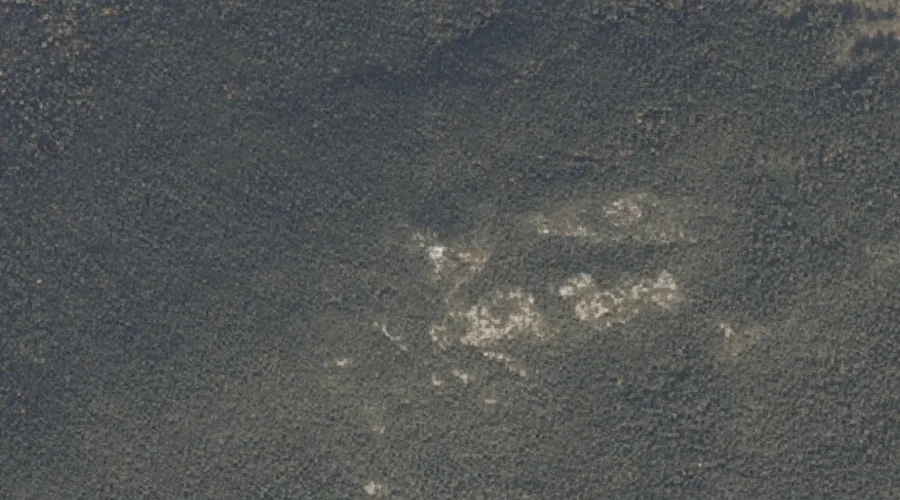
Low Aziscohos Mountain — Summits 36.8 Miles NNW of Chapman Inn
Oxford County, Maine · USGS Richardson Pond Quadrangle · GNIS 570451
Catalogued on the USGS Richardson Pond quadrangle in Oxford County, Maine, Low Aziscohos Mountain — a summit — lies 36.8 miles north-northwest of Chapman Inn.
Wikidata short description: “mountain in United States of America”
Landmark Profile
Classification & USGS reference
Catalogued under GNIS Feature ID 570451, Low Aziscohos Mountain is recorded as a summit on the USGS Richardson Pond quadrangle in Oxford County, Maine (FIPS 23/017). Last revised by the Board on Geographic Names on 07/23/2022.
Coordinates & physical setting
Low Aziscohos Mountain sits at 44.91739° N, 70.99324° W (DMS 44°55′03″ N, 70°59′36″ W).
Other summits in Oxford County, Maine
Oxford County, ME contains 438 summits catalogued in the USGS Geographic Names Information System, counting Low Aziscohos Mountain itself. The ones closest to Low Aziscohos Mountain:
| Feature | USGS Quadrangle | Elevation | Distance |
|---|---|---|---|
| Aziscohos Mountain | Wilsons Mills | — | 0.5 mi |
| Observatory Mountain | Richardson Pond | — | 2.3 mi |
| Parker Hill | Wilsons Mills | — | 3 mi |
| Round Mountain | Richardson Pond | — | 3.7 mi |
| Emerys Misery | Wilsons Mills | — | 4.7 mi |
| Sturtevant Mountain | Umbagog Lake North | — | 5.6 mi |
| Parker Hill | Bosebuck Mountain | — | 6.5 mi |
| Johnson Mountain | Middle Dam | — | 6.9 mi |
| Deer Mountain | Lincoln Pond | — | 6.9 mi |
| Moose Mountain | Middle Dam | — | 8 mi |
Features on the USGS Richardson Pond Quadrangle
The Richardson Pond 7.5-minute topographic quadrangle holds 20 catalogued natural features alongside Low Aziscohos Mountain. A sampling nearest to this location:
| Feature | Type | County | Offset |
|---|---|---|---|
| Aziscohos Pond | Lakes | Oxford County, ME | 1.5 mi |
| Black Brook Cove | Bays | Oxford County, ME | 1.8 mi |
| Sunday Pond (historical) | Lakes | Oxford County, ME | 1.8 mi |
| Aziscohos Falls (historical) | Waterfalls | Oxford County, ME | 1.9 mi |
| Little Beaver Pond | Lakes | Oxford County, ME | 2.2 mi |
| Observatory Mountain | Summits | Oxford County, ME | 2.3 mi |
| Beaver Pond | Lakes | Oxford County, ME | 3 mi |
| Beaver Brook | Streams | Oxford County, ME | 3.3 mi |
| Fish Pond Brook | Streams | Oxford County, ME | 3.5 mi |
| Beaver Brook | Streams | Oxford County, ME | 3.5 mi |
Visiting from Chapman Inn
Distance, bearing & drive time
A 63-minute drive along back roads separates the front door of Chapman Inn from Low Aziscohos Mountain — 36.8 miles north-northwest as the crow flies, on compass bearing NNW.
Best time to visit
Accessible May through November in most years. Being this far north (lat 44.917°), first snows typically arrive by mid-October and linger into early May — narrow the window accordingly. At 36.8 miles from the Inn, block the full day — sunrise start, late return, packed meals. Conditions at Low Aziscohos Mountain track the nearby Aziscohos Mountain summit (0.5 mi away) closely — if that is runnable, so is this.
Nearest features to Low Aziscohos Mountain
| Feature | Type | County | Distance |
|---|---|---|---|
| Aziscohos Mountain | Summits | Oxford County, ME | 0.5 mi |
| Aziscohos Pond | Lakes | Oxford County, ME | 1.5 mi |
| Black Brook Cove | Bays | Oxford County, ME | 1.8 mi |
| Sunday Pond (historical) | Lakes | Oxford County, ME | 1.8 mi |
| Aziscohos Falls (historical) | Waterfalls | Oxford County, ME | 1.9 mi |
Frequently Asked Questions
Where is Low Aziscohos Mountain located?
Low Aziscohos Mountain is in Oxford County, Maine, approximately 36.8 miles north-northwest of Chapman Inn in Bethel, Maine. It appears on the USGS Richardson Pond topographic quadrangle.
How far is Low Aziscohos Mountain from Chapman Inn?
The drive runs about 63 minutes, 36.8 miles north-northwest (bearing NNW) of the Inn.
What type of natural feature is Low Aziscohos Mountain?
The U.S. Geological Survey classifies Low Aziscohos Mountain as a summit, catalogued under GNIS Feature ID 570451 on the Richardson Pond quadrangle.
When is the best time to visit Low Aziscohos Mountain?
Accessible May through November in most years.
How many other summits are in Oxford County, Maine?
GNIS lists 437 other summits in Oxford County, Maine.
Wikidata: Q33140841.