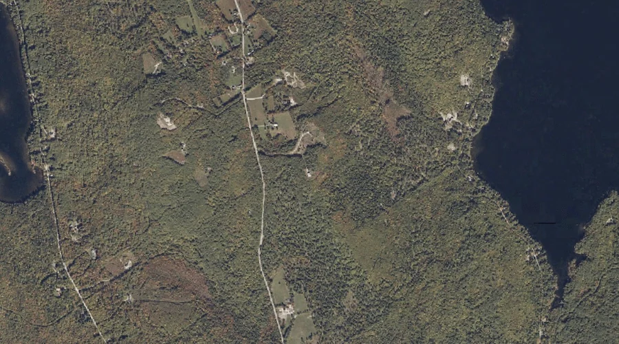
Beech Ridge is a ridge in Cumberland County, Maine, located about 32.5 miles south of Chapman Inn in Bethel, Maine. It appears on the USGS North Sebago topographic…
Poors Hill is a summit in Cumberland County, Maine, located about 32.5 miles south of Chapman Inn in Bethel, Maine. It appears on the USGS North Sebago topographic…
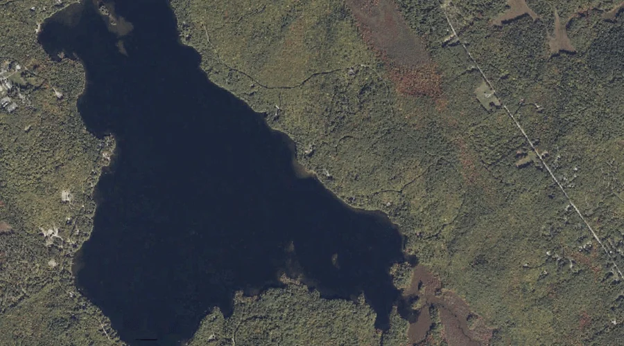
Brandy Pond is a lake in Cumberland County, Maine, located about 32.6 miles south-southeast of Chapman Inn in Bethel, Maine. It appears on the USGS Naples topographic quadrangle.
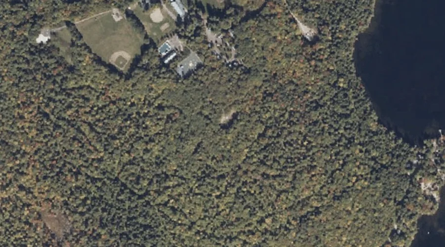
Peabody Pond is a reservoir in Cumberland County, Maine, located about 32.2 miles south of Chapman Inn in Bethel, Maine. It appears on the USGS North Sebago topographic…
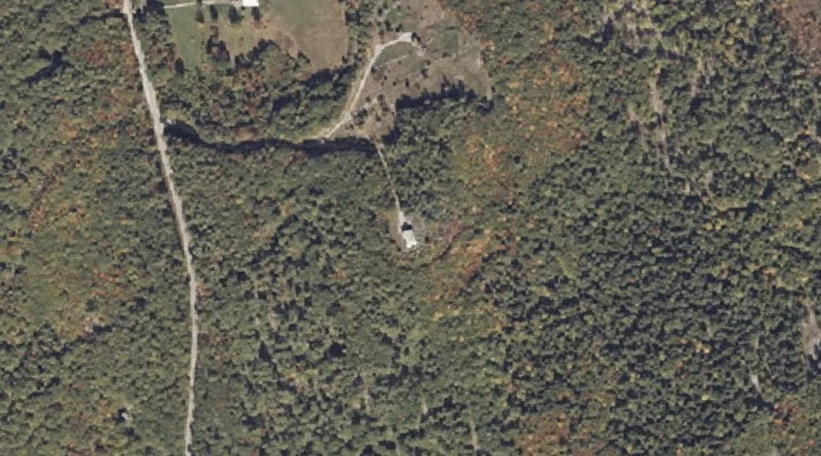
Weeman Brook is a stream in Cumberland County, Maine, located about 32.3 miles south of Chapman Inn in Bethel, Maine. It appears on the USGS North Sebago topographic…
Whites Mountain is a summit in Cumberland County, Maine, located about 32.2 miles south of Chapman Inn in Bethel, Maine. It appears on the USGS North Sebago topographic…
Hog Meadow Pond is a lake in Cumberland County, Maine, located about 32.2 miles south-southeast of Chapman Inn in Bethel, Maine. It appears on the USGS Raymond topographic…
Accomac Mountain is a summit in Cumberland County, Maine, located about 31.9 miles south of Chapman Inn in Bethel, Maine. It appears on the USGS North Sebago topographic…
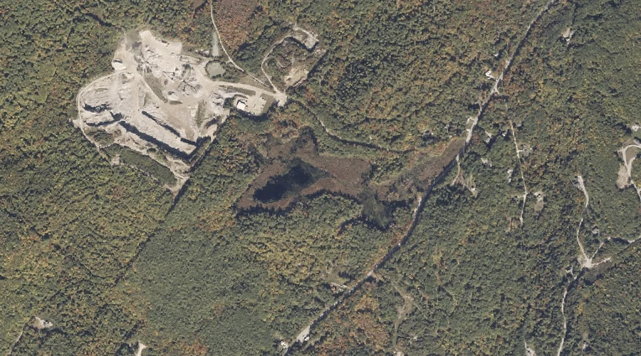
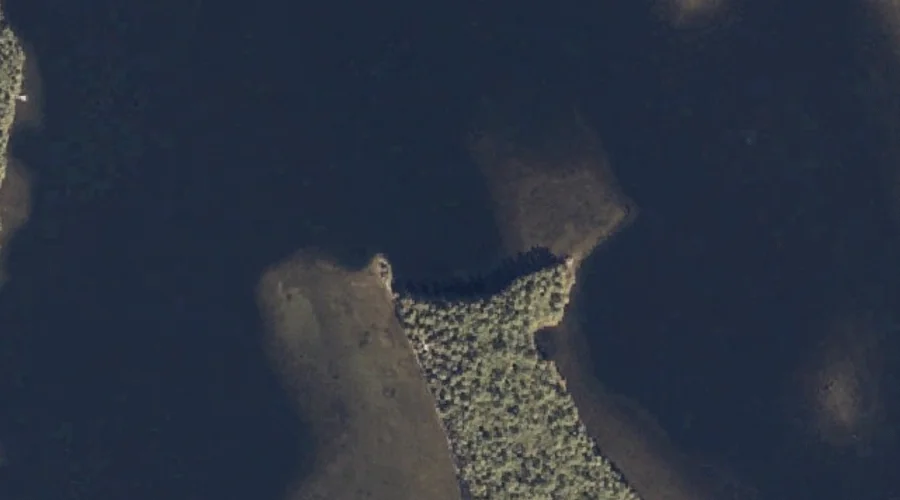
Wrights Point is a cape in Cumberland County, Maine, located about 32.0 miles south of Chapman Inn in Bethel, Maine. It appears on the USGS North Sebago topographic…
Barton Hill is a summit in Cumberland County, Maine, located about 32.0 miles south-southeast of Chapman Inn in Bethel, Maine. It appears on the USGS Naples topographic quadrangle.