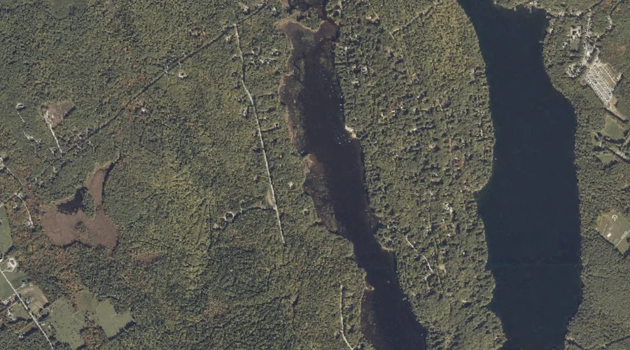
Leavitt Brook is a stream in Cumberland County, Maine, located about 33.1 miles south-southeast of Chapman Inn in Bethel, Maine. It appears on the USGS North Sebago topographic…
Tenny Hill is a summit in Cumberland County, Maine, located about 33.2 miles south-southeast of Chapman Inn in Bethel, Maine. It appears on the USGS Raymond topographic quadrangle.
Quaker Hill is a summit in Cumberland County, Maine, located about 32.9 miles south-southeast of Chapman Inn in Bethel, Maine. It appears on the USGS Naples topographic quadrangle.
Robinson Brook is a stream in Cumberland County, Maine, located about 33.0 miles south-southeast of Chapman Inn in Bethel, Maine. It appears on the USGS Raymond topographic quadrangle.
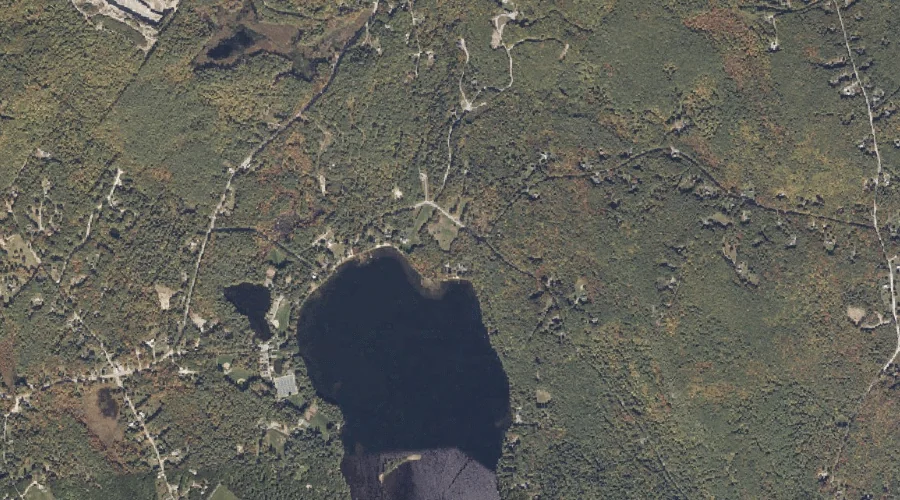
Dumpling Pond is a lake in Cumberland County, Maine, located about 32.8 miles south-southeast of Chapman Inn in Bethel, Maine. It appears on the USGS Raymond topographic quadrangle.
Coffee Pond is a lake in Cumberland County, Maine, located about 32.9 miles south-southeast of Chapman Inn in Bethel, Maine. It appears on the USGS Raymond topographic quadrangle.
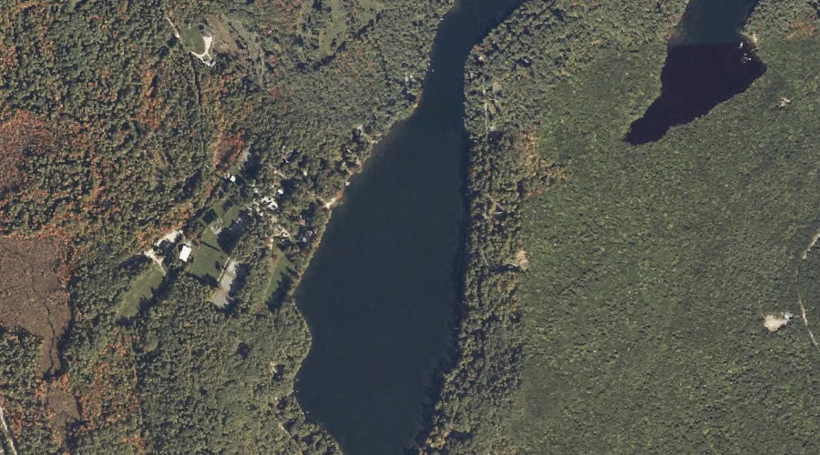
Jackson Cove is a bay in Cumberland County, Maine, located about 32.6 miles south-southeast of Chapman Inn in Bethel, Maine. It appears on the USGS Naples topographic quadrangle.
Loon Cove is a bay in Cumberland County, Maine, located about 32.4 miles south of Chapman Inn in Bethel, Maine. It appears on the USGS North Sebago topographic…
Lakin Brook is a stream in Cumberland County, Maine, located about 32.4 miles south of Chapman Inn in Bethel, Maine. It appears on the USGS North Sebago topographic…
Muddy River is a stream in Cumberland County, Maine, located about 32.4 miles south-southeast of Chapman Inn in Bethel, Maine. It appears on the USGS North Sebago topographic…