Raymond Hill is a summit in Cumberland County, Maine, located about 36.2 miles south-southeast of Chapman Inn in Bethel, Maine. It appears on the USGS Raymond topographic quadrangle.
Cub Point is a cape in Cumberland County, Maine, located about 36.0 miles south-southeast of Chapman Inn in Bethel, Maine. It appears on the USGS Naples topographic quadrangle.
Birch Island is a island in Cumberland County, Maine, located about 36.1 miles south-southeast of Chapman Inn in Bethel, Maine. It appears on the USGS Naples topographic quadrangle.
Sheep Island is a island in Cumberland County, Maine, located about 35.9 miles south-southeast of Chapman Inn in Bethel, Maine. It appears on the USGS Naples topographic quadrangle.
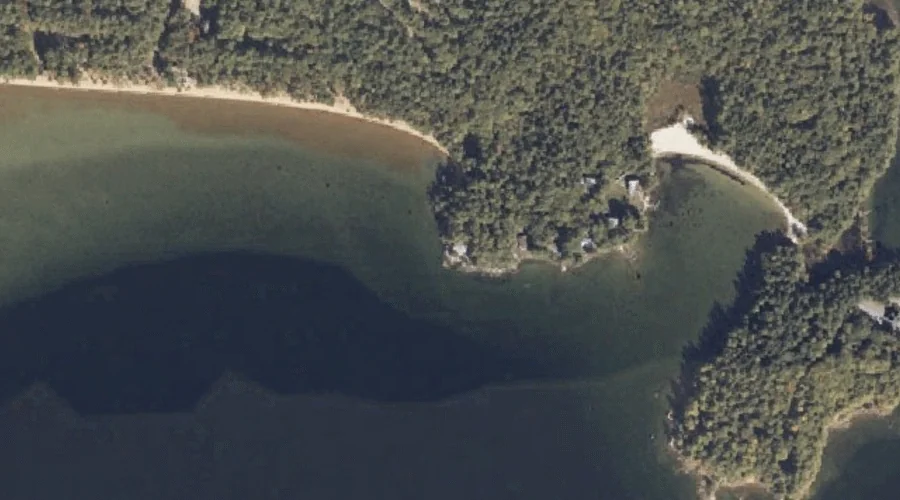
New Place Cove is a bay in Cumberland County, Maine, located about 36.0 miles south-southeast of Chapman Inn in Bethel, Maine. It appears on the USGS Naples topographic…
Tenny River is a stream in Cumberland County, Maine, located about 35.8 miles south-southeast of Chapman Inn in Bethel, Maine. It appears on the USGS Raymond topographic quadrangle.
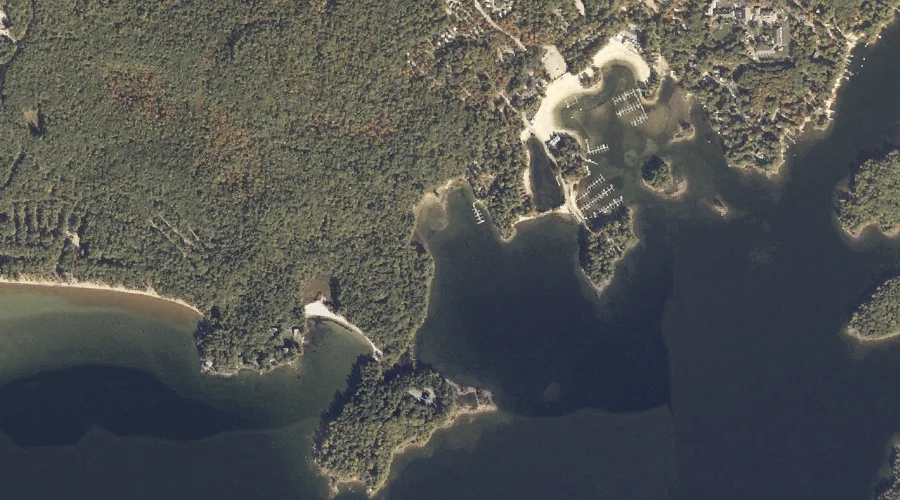
Lpon Island is a island in Cumberland County, Maine, located about 35.8 miles south-southeast of Chapman Inn in Bethel, Maine. It appears on the USGS Naples topographic quadrangle.
Dingley Brook is a stream in Cumberland County, Maine, located about 35.9 miles south-southeast of Chapman Inn in Bethel, Maine. It appears on the USGS Naples topographic quadrangle.
Maple Cove is a bay in Cumberland County, Maine, located about 35.9 miles south-southeast of Chapman Inn in Bethel, Maine. It appears on the USGS Naples topographic quadrangle.
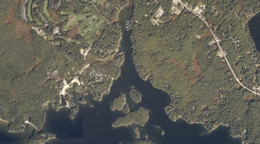
Songo River is a stream in Cumberland County, Maine, located about 35.5 miles south-southeast of Chapman Inn in Bethel, Maine. It appears on the USGS Naples topographic quadrangle.