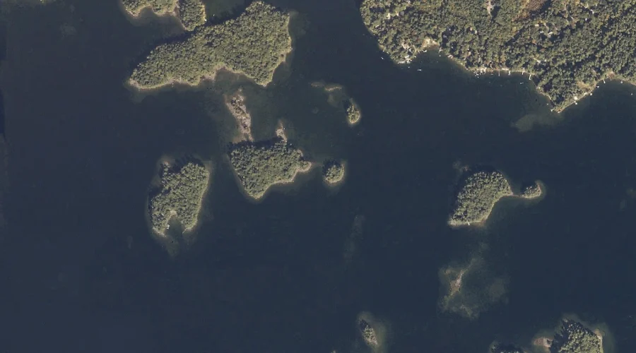
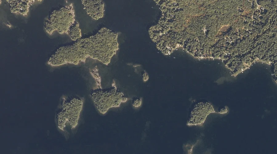
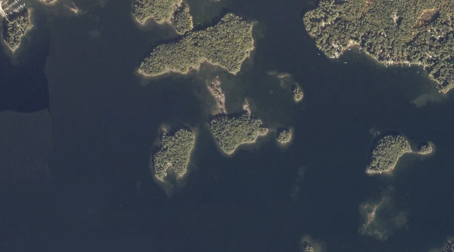
Outer Spectacle Island is a island in Cumberland County, Maine, located about 36.6 miles south-southeast of Chapman Inn in Bethel, Maine. It appears on the USGS Naples topographic…
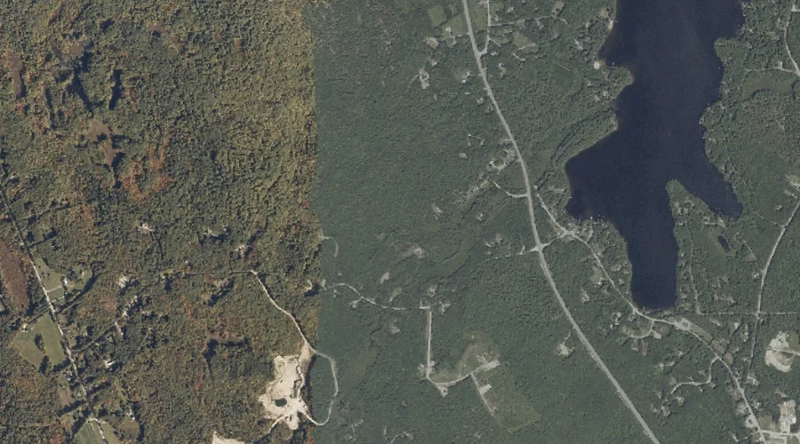
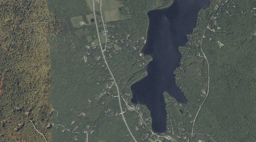
Panther Pond is a reservoir in Cumberland County, Maine, located about 36.7 miles south-southeast of Chapman Inn in Bethel, Maine. It appears on the USGS Raymond topographic quadrangle.
Cox Point is a cape in Cumberland County, Maine, located about 36.5 miles south-southeast of Chapman Inn in Bethel, Maine. It appears on the USGS North Sebago topographic…
Inner Spectacle Island is a island in Cumberland County, Maine, located about 36.5 miles south-southeast of Chapman Inn in Bethel, Maine. It appears on the USGS Naples topographic…
Inner Green Island is a island in Cumberland County, Maine, located about 36.5 miles south-southeast of Chapman Inn in Bethel, Maine. It appears on the USGS Naples topographic…
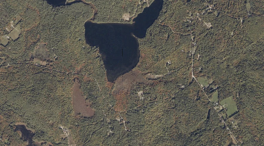
Mosquito Brook is a stream in Cumberland County, Maine, located about 36.5 miles southeast of Chapman Inn in Bethel, Maine. It appears on the USGS Gray topographic quadrangle.
Outer Green Island is a island in Cumberland County, Maine, located about 36.5 miles south-southeast of Chapman Inn in Bethel, Maine. It appears on the USGS Naples topographic…
Westcott Brook is a stream in Cumberland County, Maine, located about 36.6 miles southeast of Chapman Inn in Bethel, Maine. It appears on the USGS Gray topographic quadrangle.
Foster Brook is a stream in Cumberland County, Maine, located about 36.4 miles southeast of Chapman Inn in Bethel, Maine. It appears on the USGS Minot topographic quadrangle.
Hanson Brook is a stream in Cumberland County, Maine, located about 36.4 miles south of Chapman Inn in Bethel, Maine. It appears on the USGS North Sebago topographic…