Philip Mountain is a summit in Cumberland County, Maine, located about 35.4 miles south of Chapman Inn in Bethel, Maine. It appears on the USGS North Sebago topographic…
Valley Brook is a stream in Cumberland County, Maine, located about 35.4 miles south-southeast of Chapman Inn in Bethel, Maine. It appears on the USGS Raymond topographic quadrangle.
Grandview Hill is a summit in Cumberland County, Maine, located about 35.3 miles southeast of Chapman Inn in Bethel, Maine. It appears on the USGS Minot topographic quadrangle.
Rolfe Brook is a stream in Cumberland County, Maine, located about 35.2 miles south-southeast of Chapman Inn in Bethel, Maine. It appears on the USGS Raymond topographic quadrangle.
Meadow Brook is a stream in Cumberland County, Maine, located about 35.2 miles south-southeast of Chapman Inn in Bethel, Maine. It appears on the USGS Raymond topographic quadrangle.
White Mountain is a summit in Cumberland County, Maine, located about 35.2 miles south of Chapman Inn in Bethel, Maine. It appears on the USGS North Sebago topographic…
Whitney Brook is a stream in Cumberland County, Maine, located about 35.3 miles south-southeast of Chapman Inn in Bethel, Maine. It appears on the USGS Naples topographic quadrangle.
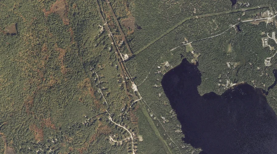
Inner Island is a island in Cumberland County, Maine, located about 35.2 miles south-southeast of Chapman Inn in Bethel, Maine. It appears on the USGS Naples topographic quadrangle.
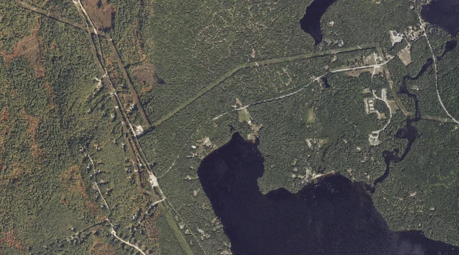
Witch Cove is a bay in Cumberland County, Maine, located about 34.9 miles south-southeast of Chapman Inn in Bethel, Maine. It appears on the USGS Naples topographic quadrangle.
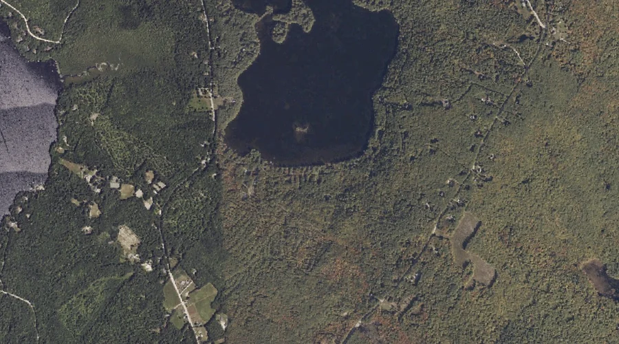
Raymond Pond is a lake in Cumberland County, Maine, located about 34.9 miles south-southeast of Chapman Inn in Bethel, Maine. It appears on the USGS Raymond topographic quadrangle.