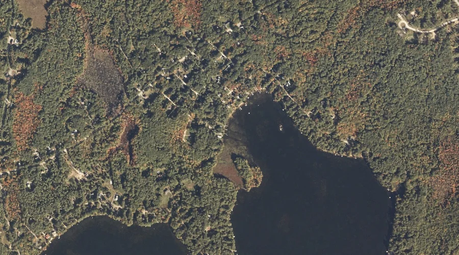
Outer Island is a island in Cumberland County, Maine, located about 35.6 miles south-southeast of Chapman Inn in Bethel, Maine. It appears on the USGS Naples topographic quadrangle.
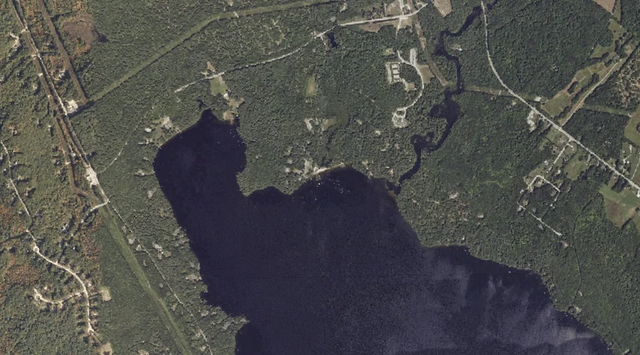
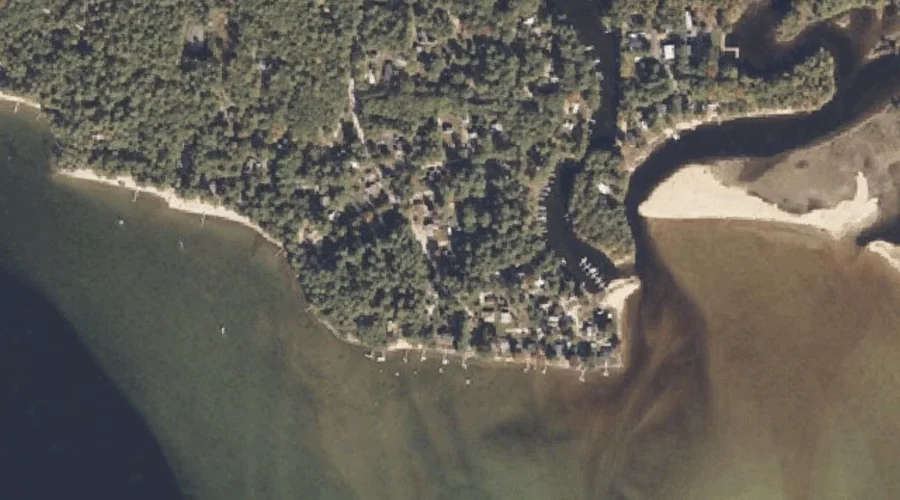
Kettle Cove is a bay in Cumberland County, Maine, located about 35.6 miles south-southeast of Chapman Inn in Bethel, Maine. It appears on the USGS Naples topographic quadrangle.
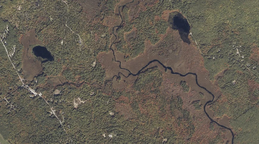
Nubble Brook is a stream in Cumberland County, Maine, located about 35.7 miles south-southeast of Chapman Inn in Bethel, Maine. It appears on the USGS Raymond topographic quadrangle.
Flag Cove is a bay in Cumberland County, Maine, located about 35.7 miles south-southeast of Chapman Inn in Bethel, Maine. It appears on the USGS Naples topographic quadrangle.
Mill Brook is a stream in Cumberland County, Maine, located about 35.7 miles south of Chapman Inn in Bethel, Maine. It appears on the USGS North Sebago topographic…
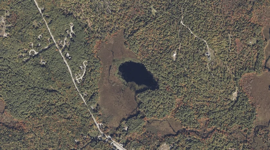
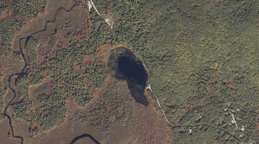
Mariner Pond is a lake in Cumberland County, Maine, located about 35.4 miles south of Chapman Inn in Bethel, Maine. It appears on the USGS North Sebago topographic…
Thompson Point is a cape in Cumberland County, Maine, located about 35.5 miles south-southeast of Chapman Inn in Bethel, Maine. It appears on the USGS Naples topographic quadrangle.
Grandview Hill is a summit in Cumberland County, Maine, located about 35.3 miles southeast of Chapman Inn in Bethel, Maine. It appears on the USGS Minot topographic quadrangle.
Perley Pond is a lake in Cumberland County, Maine, located about 35.4 miles south of Chapman Inn in Bethel, Maine. It appears on the USGS North Sebago topographic…
Mariner Mountain is a summit in Cumberland County, Maine, located about 35.4 miles south of Chapman Inn in Bethel, Maine. It appears on the USGS North Sebago topographic…