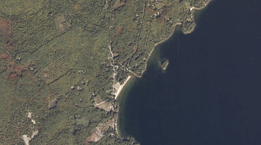
Kelseys Point is a cape in Cumberland County, Maine, located about 36.4 miles south-southeast of Chapman Inn in Bethel, Maine. It appears on the USGS Naples topographic quadrangle.
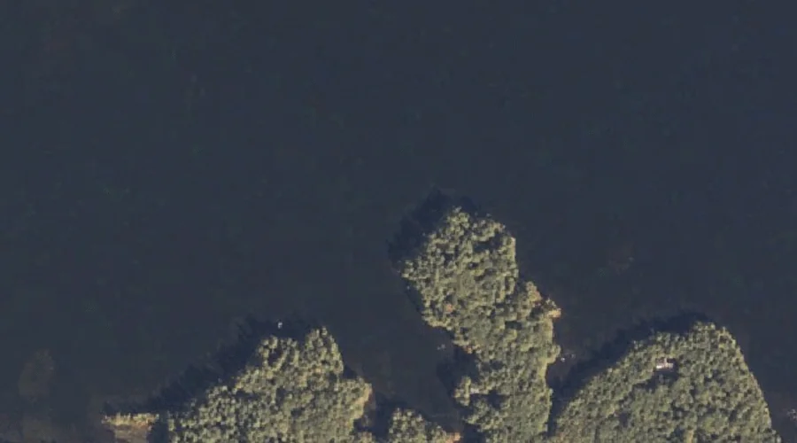
Spider Island is a island in Cumberland County, Maine, located about 36.4 miles south-southeast of Chapman Inn in Bethel, Maine. It appears on the USGS Naples topographic quadrangle.
Bachelder Brook is a stream in Cumberland County, Maine, located about 36.5 miles south-southeast of Chapman Inn in Bethel, Maine. It appears on the USGS North Sebago topographic…
Wards Point is a cape in Cumberland County, Maine, located about 36.2 miles south-southeast of Chapman Inn in Bethel, Maine. It appears on the USGS Naples topographic quadrangle.
Bear Point is a cape in Cumberland County, Maine, located about 36.2 miles south-southeast of Chapman Inn in Bethel, Maine. It appears on the USGS Naples topographic quadrangle.
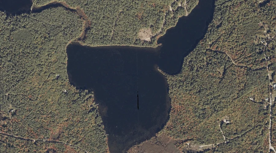
Thomas Pond is a reservoir in Cumberland County, Maine, located about 36.2 miles south-southeast of Chapman Inn in Bethel, Maine. It appears on the USGS Naples topographic quadrangle.
Moose Meadow is a swamp in Cumberland County, Maine, located about 36.3 miles south-southeast of Chapman Inn in Bethel, Maine. It appears on the USGS Raymond topographic quadrangle.
Southeast Pond is a lake in Cumberland County, Maine, located about 36.1 miles south of Chapman Inn in Bethel, Maine. It appears on the USGS North Sebago topographic…
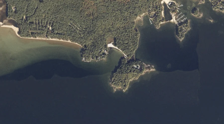
Cub Cove is a bay in Cumberland County, Maine, located about 36.1 miles south-southeast of Chapman Inn in Bethel, Maine. It appears on the USGS Naples topographic quadrangle.
Ring Island is a island in Cumberland County, Maine, located about 36.1 miles south-southeast of Chapman Inn in Bethel, Maine. It appears on the USGS Naples topographic quadrangle.