 Aerial imagery: USGS National Map (public domain)
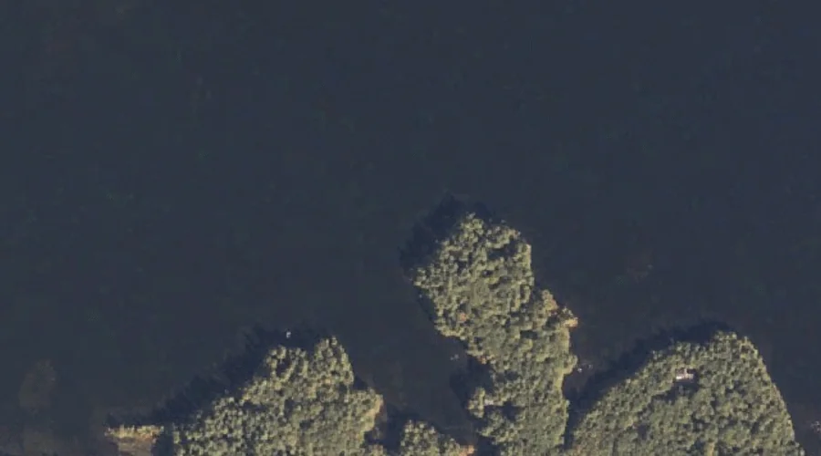
Kelseys Point — Capes 36.4 Miles SSE of Chapman Inn
Cumberland County, Maine · USGS Naples Quadrangle · GNIS 1912615
Catalogued on the USGS Naples quadrangle in Cumberland County, Maine, Kelseys Point — a cape — lies 36.4 miles south-southeast of Chapman Inn.
Landmark Profile
Classification & USGS reference
Catalogued under GNIS Feature ID 1912615, Kelseys Point is recorded as a cape on the USGS Naples quadrangle in Cumberland County, Maine (FIPS 23/005). Catalogued in GNIS since 05/08/2001.
Coordinates & physical setting
Kelseys Point sits at 43.91813° N, 70.50783° W (DMS 43°55′05″ N, 70°30′28″ W).
Other capes in Cumberland County, Maine
Cumberland County, ME contains 35 capes catalogued in the USGS Geographic Names Information System, counting Kelseys Point itself. The ones closest to Kelseys Point:
| Feature | USGS Quadrangle | Distance |
|---|---|---|
| Bettys Neck | Raymond | 2 mi |
| Bear Point | Naples | 2.7 mi |
| Cub Point | Naples | 2.9 mi |
| Browns Point | Raymond | 3 mi |
| Raymond Neck | Sebago Lake | 3.2 mi |
| Thompson Point | Naples | 3.8 mi |
| Breezy Point | Naples | 4.3 mi |
| Raymond Cape | North Windham | 4.4 mi |
| Krams Point | Raymond | 5 mi |
| Whites Point | North Windham | 5.2 mi |
Features on the USGS Naples Quadrangle
The Naples 7.5-minute topographic quadrangle holds 65 catalogued natural features alongside Kelseys Point. A sampling nearest to this location:
| Feature | Type | County | Offset |
|---|---|---|---|
| Thomas Pond | Reservoirs | Cumberland County, ME | 0.2 mi |
| Lpon Island | Islands | Cumberland County, ME | 0.6 mi |
| Flag Cove | Bays | Cumberland County, ME | 0.8 mi |
| Dingley Brook | Streams | Cumberland County, ME | 1 mi |
| Inner Birch Island | Islands | Cumberland County, ME | 1.3 mi |
| Burnell Cove | Bays | Cumberland County, ME | 1.4 mi |
| Outer Birch Island | Islands | Cumberland County, ME | 1.4 mi |
| Doctor Island | Islands | Cumberland County, ME | 1.5 mi |
| Inner Spectacle Island | Islands | Cumberland County, ME | 1.6 mi |
| Turtle Cove | Bays | Cumberland County, ME | 1.6 mi |
Visiting from Chapman Inn
Distance, bearing & drive time
A 62-minute drive along back roads separates the front door of Chapman Inn from Kelseys Point — 36.4 miles south-southeast as the crow flies, on compass bearing SSE.
Best time to visit
Generally accessible May through October; winter access depends on snow cover. At this latitude (43.918°), the shoulder seasons are workable — April and November can be comfortable on mild years. At 36.4 miles from the Inn, block the full day — sunrise start, late return, packed meals. Conditions at Kelseys Point track the nearby Thomas Pond reservoir (0.2 mi away) closely — if that is runnable, so is this.
Nearest features to Kelseys Point
| Feature | Type | County | Distance |
|---|---|---|---|
| Thomas Pond | Reservoirs | Cumberland County, ME | 0.2 mi |
| Lpon Island | Islands | Cumberland County, ME | 0.6 mi |
| Flag Cove | Bays | Cumberland County, ME | 0.8 mi |
| Dingley Brook | Streams | Cumberland County, ME | 1 mi |
| Brown Hill | Summits | Cumberland County, ME | 1.2 mi |
Frequently Asked Questions
Where is Kelseys Point located?
Kelseys Point is in Cumberland County, Maine, approximately 36.4 miles south-southeast of Chapman Inn in Bethel, Maine. It appears on the USGS Naples topographic quadrangle.
How far is Kelseys Point from Chapman Inn?
The drive runs about 62 minutes, 36.4 miles south-southeast (bearing SSE) of the Inn.
What type of natural feature is Kelseys Point?
The U.S. Geological Survey classifies Kelseys Point as a cape, catalogued under GNIS Feature ID 1912615 on the Naples quadrangle.
When is the best time to visit Kelseys Point?
Generally accessible May through October; winter access depends on snow cover.
How many other capes are in Cumberland County, Maine?
GNIS lists 34 other capes in Cumberland County, Maine.