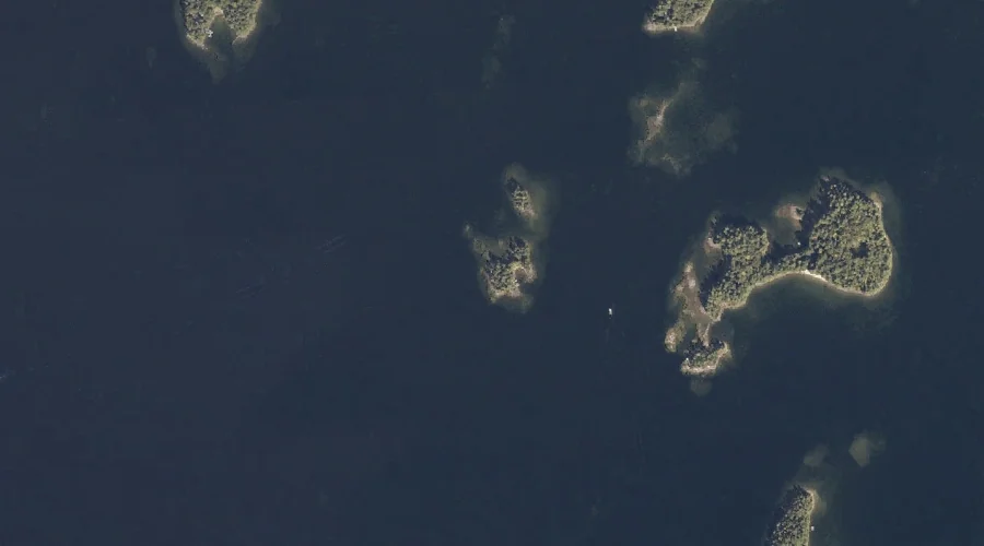
Outer Twin Island is a island in Cumberland County, Maine, located about 37.1 miles south-southeast of Chapman Inn in Bethel, Maine. It appears on the USGS Naples topographic…
Dingley Brook is a stream in Cumberland County, Maine, located about 37.1 miles south-southeast of Chapman Inn in Bethel, Maine. It appears on the USGS Naples topographic quadrangle.
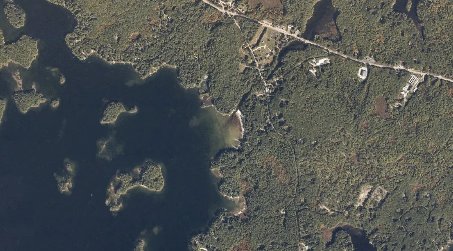
Nason Brook is a stream in Cumberland County, Maine, located about 36.8 miles south-southeast of Chapman Inn in Bethel, Maine. It appears on the USGS North Sebago topographic…
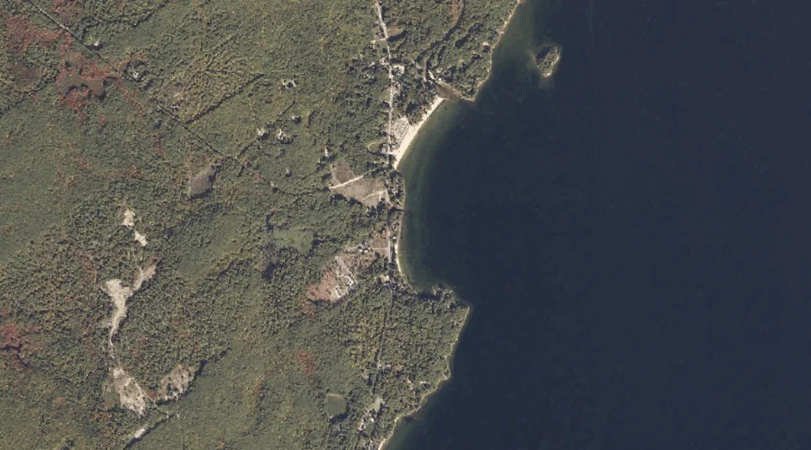
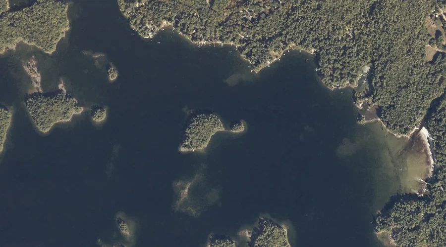
Sloanes Cove is a bay in Cumberland County, Maine, located about 36.9 miles south-southeast of Chapman Inn in Bethel, Maine. It appears on the USGS Raymond topographic quadrangle.
Outer Birch Island is a island in Cumberland County, Maine, located about 36.8 miles south-southeast of Chapman Inn in Bethel, Maine. It appears on the USGS Naples topographic…
Inner Birch Island is a island in Cumberland County, Maine, located about 36.8 miles south-southeast of Chapman Inn in Bethel, Maine. It appears on the USGS Naples topographic…
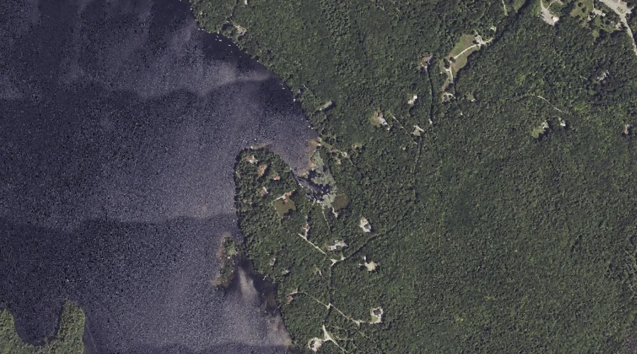
Sabbathday Pond is a lake in Cumberland County, Maine, located about 36.6 miles southeast of Chapman Inn in Bethel, Maine. It appears on the USGS Gray topographic quadrangle.
Dingley Islands is a island in Cumberland County, Maine, located about 36.6 miles south-southeast of Chapman Inn in Bethel, Maine. It appears on the USGS Naples topographic quadrangle.
Lombard Hill is a summit in Cumberland County, Maine, located about 36.6 miles south of Chapman Inn in Bethel, Maine. It appears on the USGS Hiram topographic quadrangle.
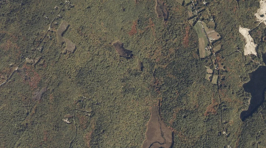
Meadow Brook is a stream in Cumberland County, Maine, located about 36.6 miles south-southeast of Chapman Inn in Bethel, Maine. It appears on the USGS Raymond topographic quadrangle.